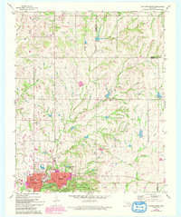
1967 Map of Sulphur North
USGS Topo · Published 1993About this map
Sulphur serves as the focal point of this Oklahoma landscape, where the northern expansion of the town meets the protected boundaries of the Chickasaw National Recreation Area. The map reveals a transition from the structured street grid of the city, featuring Washington Sch and Cameron Sch, to the wooded drainages of Rock Creek and Travertine Creek. These watercourses define the local topography, leading toward the Waterworks and Power Plant infrastructure that supported the growing community during the mid-20th century.
Find a feature on this map
30 named features on this map. Tap any name to fly to it.
Don’t see what you’re looking for? This feature index may not catch every label — zoom into the map to look around manually.
Map Details
Editions of this 1967 Sulphur North Map
3 editions found
Other maps of this area

1898 · Pauls Valley
USGS Topo · 1:125,000

1901 · Stonewall
USGS Topo · 1:125,000

1901 · Tishomingo
USGS Topo · 1:125,000

1901 · Ardmore
USGS Topo · 1:125,000

1902 · Pauls Valley
USGS Topo · 1:125,000

1918 · Ardmore
USGS Topo · 1:125,000

1957 · Ardmore
USGS Topo · 1:250,000

1963 · Ardmore
USGS Topo · 1:250,000

1963 · Sulphur South
USGS Topo · 1:24,000

1963 · Mill Creek
USGS Topo · 1:24,000