Old Maps of Konawa, Oklahoma for Academic Research
Study the evolution of Konawa with 16 high-resolution historic maps. Whether you're teaching, researching, or modeling changes in land use, these maps provide essential visual documentation of urban, environmental, and geographic change.
- Analyze long-term change: Track patterns in development, transportation, and natural features.
- Ideal for environmental or urban studies: Support academic projects with primary historical map data.
- Use in the classroom or lab: Educators and researchers rely on these maps to bring historical context to life.
These maps are a powerful tool for teaching, research, and visualizing how Konawa has changed over the decades.
Konawa, OK maps
(16)- 1901 Map of Stonewall
 1901 Stonewall1901 Print · USGSBefore Oklahoma statehood, this late-century survey captures the Chickasaw Nation and Seminole Nation borderlands in high detail. Researchers can locate early schools like Collins Institute and trace the paths between settlements such as Stonewall, Ada, and Fitzhugh.4 unique versions available
 - 1957 Map of Ardmore, 1968 Print
 1957 Ardmore1968 Print · USGSSouth-central Oklahoma in the late fifties was a landscape of rising reservoir waters and expanding rail lines. Genealogists and historians can trace the foundations of Ardmore and Duncan or locate early recreation sites at Platt National Park and Lake Murray State Park.3 unique versions available
 - 1958 Map of Vamoosa, 1959 Print
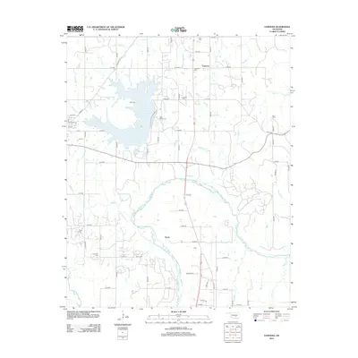
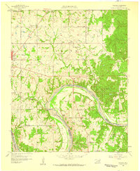 1958 Vamoosa1959 Print · USGSSeminole and Pontotoc Counties are captured here in the late fifties, showing a rural landscape defined by the Canadian River. Genealogists can trace family history through sites like Tiger Cem, Konawa, and the Summers Chapel Sch.4 unique versions available
 - 1958 Map of Konawa, 1959 Print
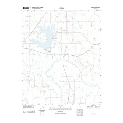
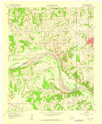 1958 Konawa1959 Print · USGSCentrally located in Oklahoma during the late fifties, this area showcases the intersection of oil exploration and rural settlement. Genealogists can trace family roots through sites like Sacred Heart, Antioch Ch, and the Vista Cem.3 unique versions available
 - 1963 Map of Ardmore
 1963 Ardmore1963 Print · USGSSouthern Oklahoma during the early sixties shows a landscape defined by the Arbuckle Mountains and a booming energy economy. Genealogists and historians can trace family-named sites across the Ardmore Oil Field, find old schools like Southeastern State College, or locate historic markers such as Boggy Depot State Park.2 unique versions available
 - 1990 Map of Ada
 1990 Ada1990 Print · USGSOklahoma's South Central plains and woodlands appear in high detail during the late twentieth century. Genealogists and historians can trace family roots in Ada, locate local institutions like East Central State University, and explore regional hubs like Sulphur or Stonewall.
 - 2009 Map of Konawa, 2009 Print
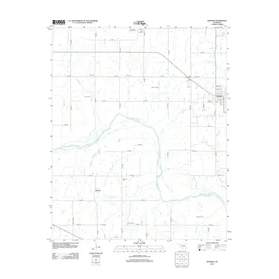
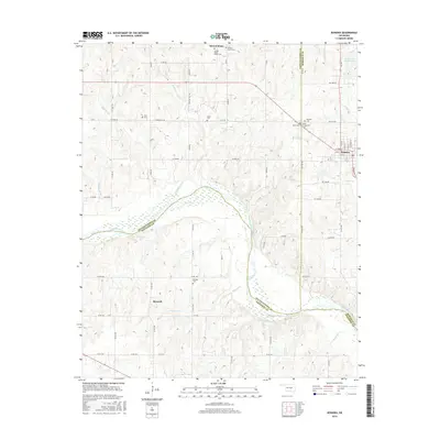
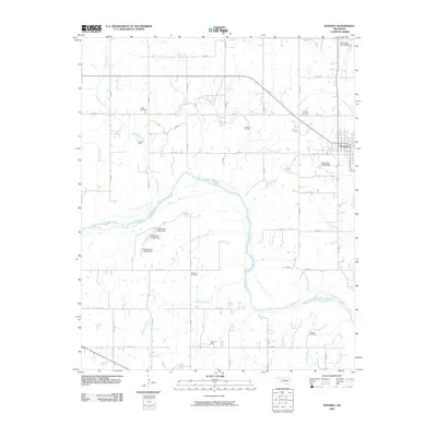 2009 Konawa2009 Print · USGSCovers Konawa, including Maxwell, Pottawatomie County, and other nearby areas
 - 2009 Map of Vamoosa, 2009 Print
 2009 Vamoosa2009 Print · USGSCovers Konawa, including Byng, Tyrola, and other nearby areas
 - 2012 Map of Vamoosa, 2012 Print
 2012 Vamoosa2012 Print · USGSCovers Konawa, including Byng, Tyrola, and other nearby areas
 - 2012 Map of Konawa, 2012 Print
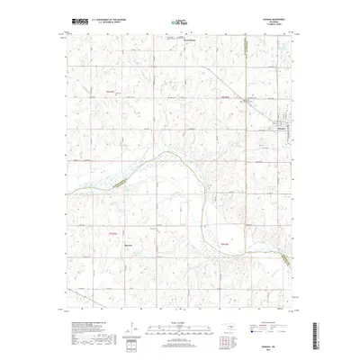
 2012 Konawa2012 Print · USGSCovers Konawa, including Maxwell, Pottawatomie County, and other nearby areas
 - 2016 Map of Vamoosa, 2016 Print
 2016 Vamoosa2016 Print · USGSCovers Konawa, including Byng, Tyrola, and other nearby areas
 - 2016 Map of Konawa, 2016 Print
 2016 Konawa2016 Print · USGSCovers Konawa, including Maxwell, Pottawatomie County, and other nearby areas
 - 2018 Map of Konawa, 2018 Print
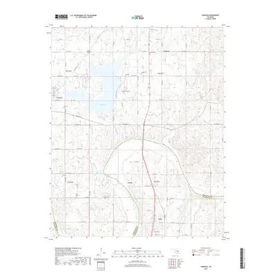
 2018 Konawa2018 Print · USGSCovers Konawa, including Maxwell, Pottawatomie County, and other nearby areas
 - 2018 Map of Vamoosa, 2018 Print
 2018 Vamoosa2018 Print · USGSCovers Konawa, including Byng, Tyrola, and other nearby areas
 - 2022 Map of Konawa, 2022 Print
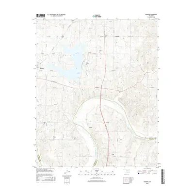
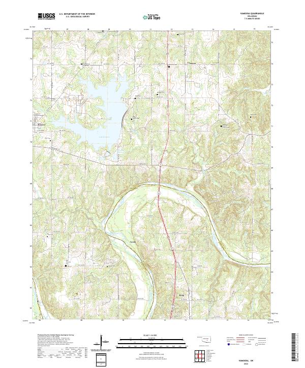
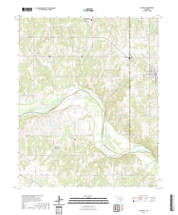 2022 Konawa2022 Print · USGSCentering on the tri-county borderlands of Oklahoma, this survey reveals the rural landscape north of the Canadian River during the early 2020s. Genealogists can locate several remote burial grounds including Sacred Heart Sisters Cem, Violet Springs Cem, and Vista Cem.
 - 2022 Map of Vamoosa, 2022 Print
 2022 Vamoosa2022 Print · USGSSeminole and Pontotoc counties are captured here in the early twenty-first century, centered on the waters of Lake Konawa. Researchers can trace local lineage through numerous sites like High Springs Indian Cem, Vamoosa Cem, and the settlement of Tyrola.
End of results
Showing maps 1-16 of 16
Top cities near Konawa
- Ada historical maps
- Stratford historical maps
- Byng historical maps
- Maud historical maps
- Asher historical maps
- Bowlegs historical maps
See more
Frequently asked questions
- What are the different types of historical maps available for Konawa?
- What is the oldest map of Konawa?
- Where can I purchase historical maps of Konawa for my home or office?
- Where can I download high-res historical maps of Konawa?
- Are there historical topographic maps available for Konawa?
- Is there historical aerial imagery available for Konawa?
- Where are historical maps of Konawa sourced from?