2000s (21st Century) Maps of Muldrow, Oklahoma
Explore 10 historic maps of Muldrow from the 2000s (21st Century). These maps offer a rare glimpse into what life looked like during the 2000s — showing old roads, neighborhoods, homes, and landmarks that have changed or disappeared over time.
Whether you're researching your family's past, planning a metal detecting trip, or studying how Muldrow's landscape evolved across the 2000s, these high-resolution maps are a powerful tool for exploring the history of this region.
- Focus on a specific era: All maps on this page are from the 2000s, giving you a focused view of this time period.
- See what’s changed: Compare century-old streets, trails, and buildings to today's modern landscape using overlays and satellite layers.
- Research with precision: Use these maps for genealogy, historical research, land use analysis, or educational projects.
- View, download, or print: Maps are fully viewable online in high resolution, and can be downloaded or printed for your own records.
Start exploring Muldrow's history through authentic maps from the 2000s. This is your window into the past.
Muldrow, OK maps
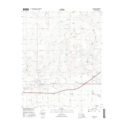
(10)- 2010 Map of Muldrow, 2010 Print
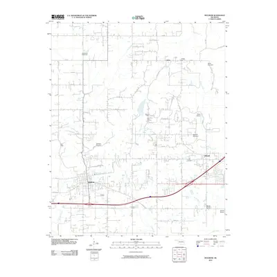 2010 Muldrow2010 Print · USGSCovers Muldrow, including Roland, Remy, and other nearby areas
 - 2010 Map of Gans, 2010 Print
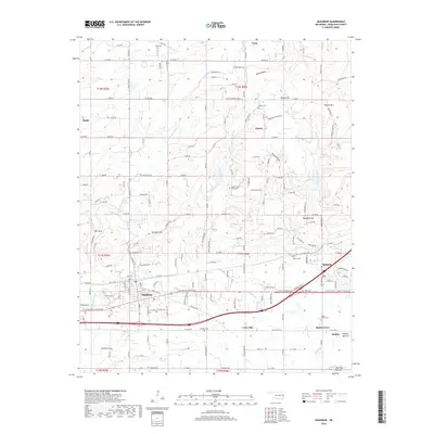
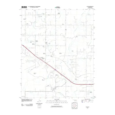 2010 Gans2010 Print · USGSCovers Muldrow, including Gans, Blackjack, and other nearby areas
 - 2012 Map of Gans, 2012 Print
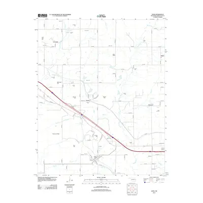 2012 Gans2012 Print · USGSCovers Muldrow, including Gans, Blackjack, and other nearby areas
 - 2012 Map of Muldrow, 2012 Print
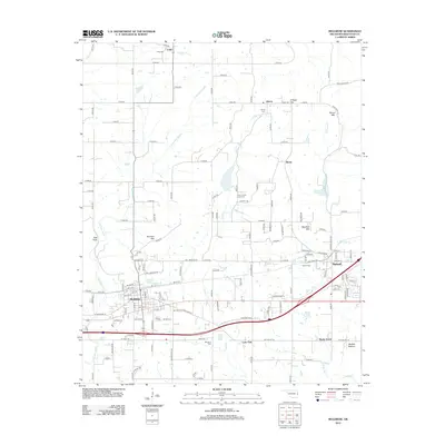 2012 Muldrow2012 Print · USGSCovers Muldrow, including Roland, Remy, and other nearby areas
 - 2016 Map of Muldrow, 2016 Print
 2016 Muldrow2016 Print · USGSCovers Muldrow, including Roland, Remy, and other nearby areas
 - 2016 Map of Gans, 2016 Print
 2016 Gans2016 Print · USGSCovers Muldrow, including Gans, Blackjack, and other nearby areas
 - 2018 Map of Muldrow, 2018 Print
 2018 Muldrow2018 Print · USGSCovers Muldrow, including Roland, Remy, and other nearby areas
 - 2018 Map of Gans, 2018 Print
 2018 Gans2018 Print · USGSCovers Muldrow, including Gans, Blackjack, and other nearby areas
 - 2022 Map of Gans, 2022 Print
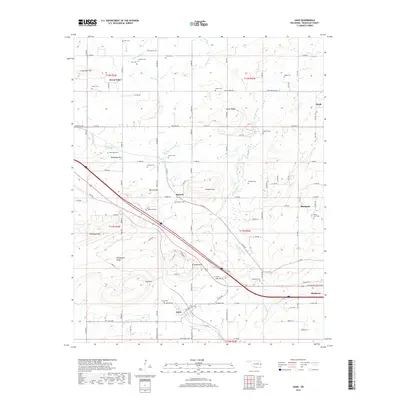
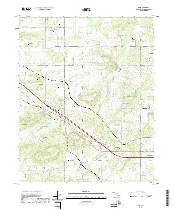 2022 Gans2022 Print · USGSSequoyah County settlements and cemeteries are well-documented in this recent survey of the Oklahoma landscape. Genealogists can trace family sites at Old Seabolt Cemetery and Mitchell Cemetery near Gans and Blackjack.
 - 2022 Map of Muldrow, 2022 Print
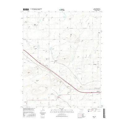
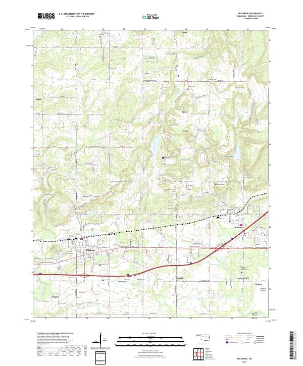 2022 Muldrow2022 Print · USGSSequoyah County settlements south of the Ozark foothills come into focus in this recent survey of the region between Muldrow and the Arkansas border. Genealogists can trace family names and local burials at the Muldrow Cem, Roland Cem, and the secluded Long Cem.
End of results
Showing maps 1-10 of 10
Top cities near Muldrow
- Fort Smith historical maps
- Van Buren historical maps
- Poteau historical maps
- Sallisaw historical maps
- Pocola historical maps
- Roland historical maps
See more
Frequently asked questions
- What are the different types of historical maps available for Muldrow?
- What is the oldest map of Muldrow?
- Where can I purchase historical maps of Muldrow for my home or office?
- Where can I download high-res historical maps of Muldrow?
- Are there historical topographic maps available for Muldrow?
- Is there historical aerial imagery available for Muldrow?
- Where are historical maps of Muldrow sourced from?