2022 Map of Gans
USGS Topo · Published 2022About this map
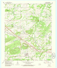
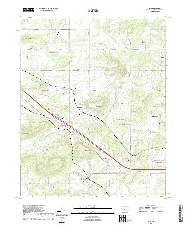
Gans and Muldrow anchor the southern portion of this landscape in the early 2020s, where the terrain is defined by a series of distinct ridges and peaks including Krumpe Mtn, Baldridge Mtn, and Wildhorse Mtn. The area is densely dotted with family and community burial grounds, such as the Old Seabolt Cem and Fleetwood Cem, providing a detailed record for genealogical research in this part of Sequoyah County. North of the main settlements, the land transitions into a network of small watercourses like Big Skin Bayou and Wolf Cr that carve through the upland ridges.
Find a feature on this map
105 named features on this map. Tap any name to fly to it.
Don’t see what you’re looking for? This feature index may not catch every label — zoom into the map to look around manually.
Map Details
Editions of this 2022 Gans Map
This is the sole edition of this map. No revisions or reprints were ever made.