Old Maps of Hooker, Oklahoma for Academic Research
Study the evolution of Hooker with 9 high-resolution historic maps. Whether you're teaching, researching, or modeling changes in land use, these maps provide essential visual documentation of urban, environmental, and geographic change.
- Analyze long-term change: Track patterns in development, transportation, and natural features.
- Ideal for environmental or urban studies: Support academic projects with primary historical map data.
- Use in the classroom or lab: Educators and researchers rely on these maps to bring historical context to life.
These maps are a powerful tool for teaching, research, and visualizing how Hooker has changed over the decades.
Hooker, OK maps
(9)- 1954 Map of Perryton, 1966 Print
 1954 Perryton1966 Print · USGSThe High Plains of the Texas and Oklahoma panhandles are shown during a period of steady growth in the mid-1950s. Genealogists and researchers can trace rail history and local landmarks like Panhandle A & M College, Spurlock Chapel, and the isolated Lord Station.3 unique versions available
 - 1958 Map of Perryton
 1958 Perryton1958 Print · USGSThe Oklahoma Panhandle and Texas borderlands come alive in this mid-century survey, showing the vital rail-and-ranch economy of the High Plains. Researchers can trace historic stops along the Chicago Rock Island and Pacific and locate rural landmarks like Bethel Church and Spurlock Chapel.
 - 1967 Map of Hooker, 1968 Print
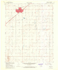 1967 Hooker1968 Print · USGSHooker stands at a crossroads of the Oklahoma Panhandle in the late sixties, where rail lines and energy development define the local landscape. Genealogists and researchers can trace the town grid from City Hall to the Hooker Cem or follow the Chicago Rock Island and Pacific railroad through the plains.
 - 1982 Map of Guymon
 1982 Guymon1982 Print · USGSThe Oklahoma Panhandle and neighboring borders come into focus in the early eighties, showing a landscape of energy production and isolated prairie towns. Genealogists and historians can trace the rail-side growth of Guymon, the campus at Oklahoma Panhandle State University, and the extensive Oil and Gas Field developments.
 - 2010 Map of Hooker, 2010 Print
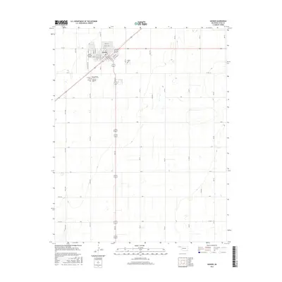
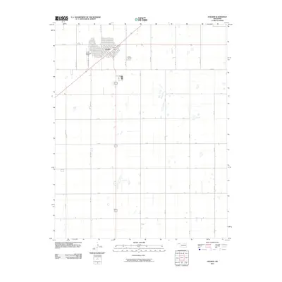 2010 Hooker2010 Print · USGSCovers Hooker, including Texas County, United States, and other nearby areas
 - 2012 Map of Hooker, 2012 Print
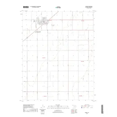
 2012 Hooker2012 Print · USGSCovers Hooker, including Texas County, United States, and other nearby areas
 - 2016 Map of Hooker, 2016 Print
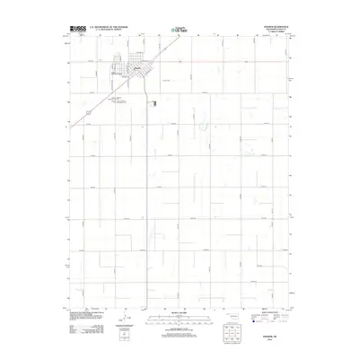
 2016 Hooker2016 Print · USGSCovers Hooker, including Texas County, United States, and other nearby areas
 - 2018 Map of Hooker, 2018 Print
 2018 Hooker2018 Print · USGSCovers Hooker, including Texas County, United States, and other nearby areas
 - 2022 Map of Hooker, 2022 Print
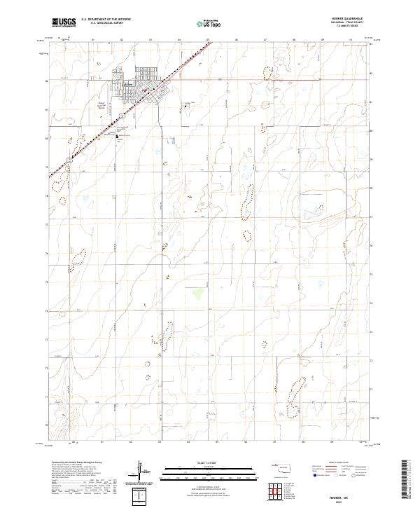 2022 Hooker2022 Print · USGSTexas County settlement and agricultural life are clearly defined in this modern survey of Hooker. Genealogists can trace family heritage through a significant cluster of burial grounds, including the Lutheran Babyland Cem and Saint Johannes Evangelical Cem.
End of results
Showing maps 1-9 of 9
Top cities near Hooker
Frequently asked questions
- What are the different types of historical maps available for Hooker?
- What is the oldest map of Hooker?
- Where can I purchase historical maps of Hooker for my home or office?
- Where can I download high-res historical maps of Hooker?
- Are there historical topographic maps available for Hooker?
- Is there historical aerial imagery available for Hooker?
- Where are historical maps of Hooker sourced from?