Old Maps of Guymon, Oklahoma
Explore 15 old maps of Guymon, spanning from 1954 to today. These high-resolution historic maps reveal how streets, neighborhoods, landmarks, and natural features evolved over time — perfect for genealogy, metal detecting, research, and local history exploration.
What you can do with these maps:
- See how Guymon changed over time: Compare historical maps to modern-day views to trace roads, homesites, rail lines & more.
- View detailed metadata: Each map includes creators, publishers, year, scale, and archive source.
- Overlay maps with satellite & LiDAR: Visualize the past alongside modern tools to explore terrain & human change.
- Trusted historical sources: Maps sourced from the USGS, Library of Congress, and other archives.
- Access maps your way: View online, download high-res files, or order prints for personal or research use.
Start exploring old maps of Guymon to uncover forgotten places, hidden landmarks, and the deep history beneath your feet.
Guymon, OK maps
(15)- 1954 Map of Perryton, 1966 Print
 1954 Perryton1966 Print · USGSThe High Plains of the Texas and Oklahoma panhandles are shown during a period of steady growth in the mid-1950s. Genealogists and researchers can trace rail history and local landmarks like Panhandle A & M College, Spurlock Chapel, and the isolated Lord Station.3 unique versions available
 - 1958 Map of Perryton
 1958 Perryton1958 Print · USGSThe Oklahoma Panhandle and Texas borderlands come alive in this mid-century survey, showing the vital rail-and-ranch economy of the High Plains. Researchers can trace historic stops along the Chicago Rock Island and Pacific and locate rural landmarks like Bethel Church and Spurlock Chapel.
 - 1968 Map of Guymon, 1970 Print
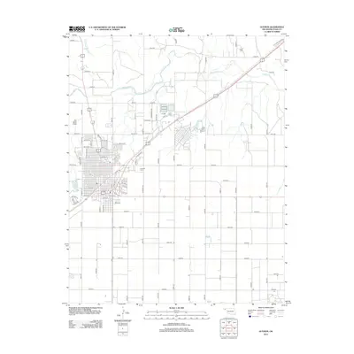
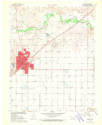 1968 Guymon1970 Print · USGSGuymon sits at a cultural and industrial crossroads in the Oklahoma Panhandle during the late sixties, where the railroad meets the river. Researchers can locate local landmarks like Elmhurst Cemetery, Academy School, and the KGYN Radio Tower.2 unique versions available
 - 1973 Map of Goodwell NE, 1975 Print
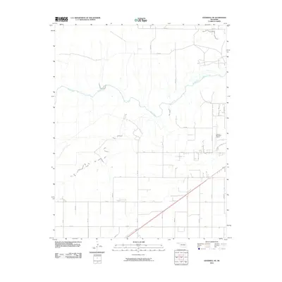
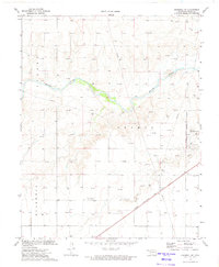 1973 Goodwell NE1975 Print · USGSThe Oklahoma Panhandle's energy and transport networks are on full display in the early seventies as gas wells and pipelines spread across the plains. Trace the legacy of the Chicago Rock Island and Pacific and the development of the Guymon Municipal Airport and Beaver River.
 - 1982 Map of Guymon
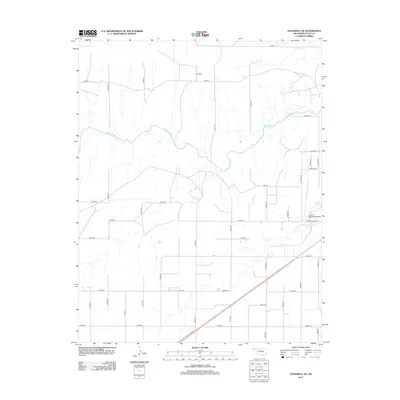
 1982 Guymon1982 Print · USGSThe Oklahoma Panhandle and neighboring borders come into focus in the early eighties, showing a landscape of energy production and isolated prairie towns. Genealogists and historians can trace the rail-side growth of Guymon, the campus at Oklahoma Panhandle State University, and the extensive Oil and Gas Field developments.
 - 2010 Map of Guymon, 2010 Print
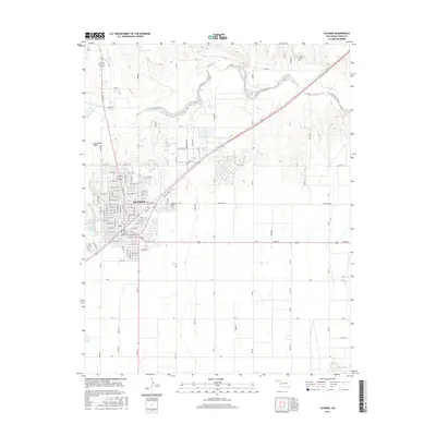
 2010 Guymon2010 Print · USGSCovers Guymon, including Texas County, United States, and other nearby areas
 - 2010 Map of Goodwell NE, 2010 Print
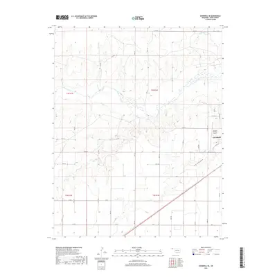
 2010 Goodwell NE2010 Print · USGSCovers Guymon, including Texas County, United States, and other nearby areas
 - 2012 Map of Goodwell NE, 2012 Print
 2012 Goodwell NE2012 Print · USGSCovers Guymon, including Texas County, United States, and other nearby areas
 - 2012 Map of Guymon, 2012 Print
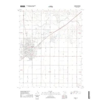
 2012 Guymon2012 Print · USGSCovers Guymon, including Texas County, United States, and other nearby areas
 - 2016 Map of Goodwell NE, 2016 Print
 2016 Goodwell NE2016 Print · USGSCovers Guymon, including Texas County, United States, and other nearby areas
 - 2016 Map of Guymon, 2016 Print
 2016 Guymon2016 Print · USGSCovers Guymon, including Texas County, United States, and other nearby areas
 - 2018 Map of Goodwell NE, 2018 Print
 2018 Goodwell NE2018 Print · USGSCovers Guymon, including Texas County, United States, and other nearby areas
 - 2018 Map of Guymon, 2018 Print
 2018 Guymon2018 Print · USGSCovers Guymon, including Texas County, United States, and other nearby areas
 - 2022 Map of Guymon, 2022 Print
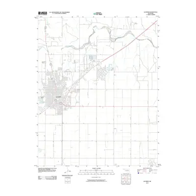
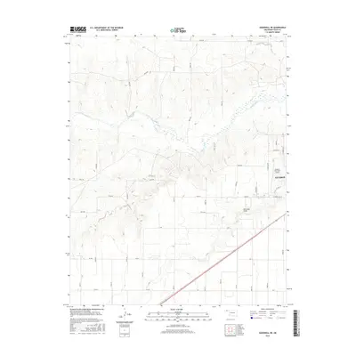
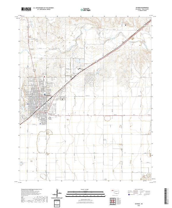 2022 Guymon2022 Print · USGSGuymon and the surrounding Oklahoma Panhandle landscape are captured here in 2022, showing the city's growth and its vital river connections. Local historians can trace the town's grid from the Texas County Courthouse out to landmarks like Elmhurst Cem and the Beaver River.
 - 2022 Map of Goodwell NE, 2022 Print
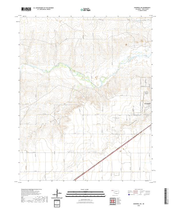 2022 Goodwell NE2022 Print · USGSTexas County, Oklahoma, in the early 2020s shows the expanding northern reaches of the county seat. You can trace the path of the Beaver River and locate the Guymon Municipal Airport amidst the rural road grid.
End of results
Showing maps 1-15 of 15
Top cities near Guymon
Frequently asked questions
- What are the different types of historical maps available for Guymon?
- What is the oldest map of Guymon?
- Where can I purchase historical maps of Guymon for my home or office?
- Where can I download high-res historical maps of Guymon?
- Are there historical topographic maps available for Guymon?
- Is there historical aerial imagery available for Guymon?
- Where are historical maps of Guymon sourced from?