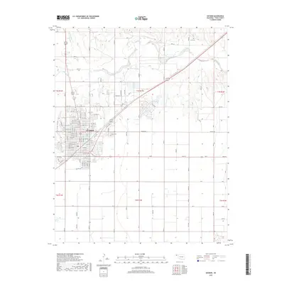
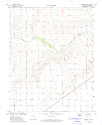
2018 Map of Guymon
USGS Topo · Published 2018About this map
The High Plains city of Guymon serves as the focal point of this Oklahoma Panhandle survey, showing a well-ordered grid of streets and growing residential developments. The city's northern expansion is evident in neighborhoods named for desert flora, featuring roads like Yucca Blvd, Tumbleweed Dr, and Cactus Dr. The landscape is defined by the ephemeral waters of the Beaver River and drainage features like Dry Sand Draw and Three Seeds Draw Cr, which carve through the surrounding agricultural sections. Local heritage is grounded in sites such as Elmhurst Cem on the city's edge and the more remote Carter Cem to the northeast. Recreational and ecological interest is centered on Sunset Lake in the southwest, while the broader township-and-range system is clearly marked by Mile roads and section boundaries like t3n r15e, reflecting the region's enduring land management patterns.
Find a feature on this map
111 named features on this map. Tap any name to fly to it.
Don’t see what you’re looking for? This feature index may not catch every label — zoom into the map to look around manually.
Map Details
Editions of this 2018 Guymon Map
This is the sole edition of this map. No revisions or reprints were ever made.
Other maps of this area

1954 · Perryton
USGS Topo · 1:250,000

1958 · Perryton
USGS Topo · 1:250,000
1967 · Straight SW
USGS Topo · 1:24,000
1967 · Optima
USGS Topo · 1:24,000
1968 · Guymon
USGS Topo · 1:24,000
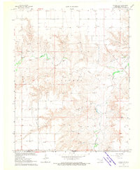
1968 · Guymon SW
USGS Topo · 1:24,000
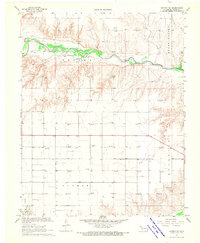
1968 · Guymon NE
USGS Topo · 1:24,000
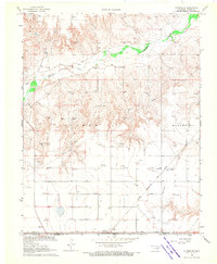
1968 · Guymon SE
USGS Topo · 1:24,000
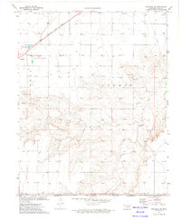
1973 · Goodwell SE
USGS Topo · 1:24,000
1973 · Goodwell NE
USGS Topo · 1:24,000