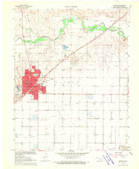
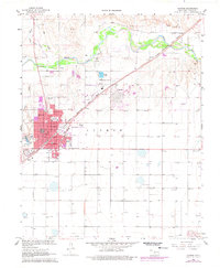
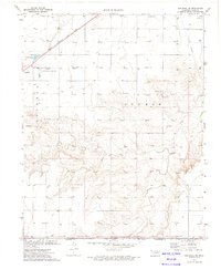
1968 Map of Guymon
USGS Topo · Published 1970About this map
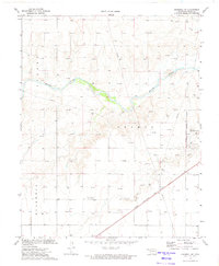
Guymon serves as the bustling hub of the Oklahoma Panhandle in this late 1960s survey, defined by its grid of residential streets and essential civic structures like City Hall and the Post Office. The town's development is closely tied to the Chicago Rock Island and Pacific railroad, which cuts diagonally through the landscape. Educational history is preserved here through several local institutions, including Academy School, Salyer School, and Long School.
Find a feature on this map
27 named features on this map. Tap any name to fly to it.
Don’t see what you’re looking for? This feature index may not catch every label — zoom into the map to look around manually.
Map Details
Editions of this 1968 Guymon Map
2 editions found
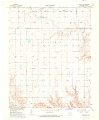
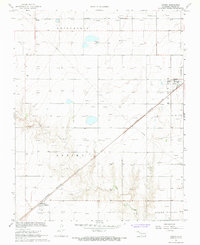
Other maps of this area

1954 · Perryton
USGS Topo · 1:250,000

1958 · Perryton
USGS Topo · 1:250,000
1967 · Straight SW
USGS Topo · 1:24,000
1967 · Optima
USGS Topo · 1:24,000
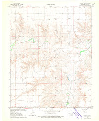
1968 · Guymon SW
USGS Topo · 1:24,000
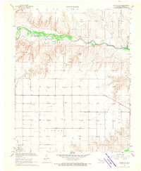
1968 · Guymon NE
USGS Topo · 1:24,000
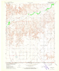
1968 · Guymon SE
USGS Topo · 1:24,000
1973 · Goodwell SE
USGS Topo · 1:24,000
1973 · Goodwell NE
USGS Topo · 1:24,000
1973 · Hough
USGS Topo · 1:24,000