2000s (21st Century) Maps of Guymon, Oklahoma
Explore 10 historic maps of Guymon from the 2000s (21st Century). These maps offer a rare glimpse into what life looked like during the 2000s — showing old roads, neighborhoods, homes, and landmarks that have changed or disappeared over time.
Whether you're researching your family's past, planning a metal detecting trip, or studying how Guymon's landscape evolved across the 2000s, these high-resolution maps are a powerful tool for exploring the history of this region.
- Focus on a specific era: All maps on this page are from the 2000s, giving you a focused view of this time period.
- See what’s changed: Compare century-old streets, trails, and buildings to today's modern landscape using overlays and satellite layers.
- Research with precision: Use these maps for genealogy, historical research, land use analysis, or educational projects.
- View, download, or print: Maps are fully viewable online in high resolution, and can be downloaded or printed for your own records.
Start exploring Guymon's history through authentic maps from the 2000s. This is your window into the past.
Guymon, OK maps
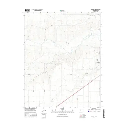
(10)- 2010 Map of Guymon, 2010 Print
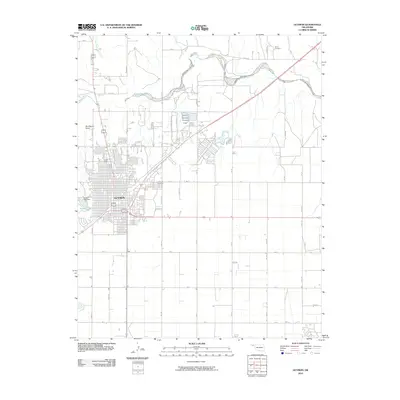 2010 Guymon2010 Print · USGSCovers Guymon, including Texas County, United States, and other nearby areas
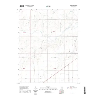
 - 2010 Map of Goodwell NE, 2010 Print
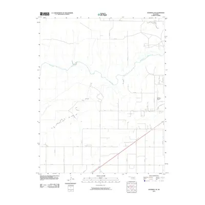 2010 Goodwell NE2010 Print · USGSCovers Guymon, including Texas County, United States, and other nearby areas
 - 2012 Map of Goodwell NE, 2012 Print
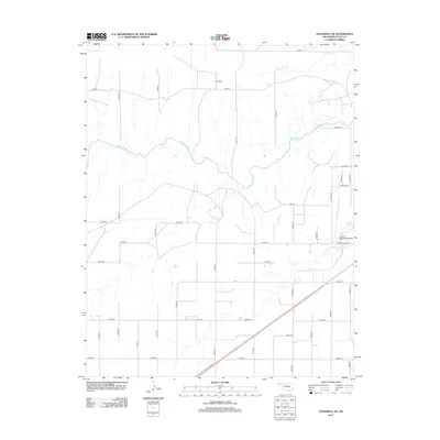 2012 Goodwell NE2012 Print · USGSCovers Guymon, including Texas County, United States, and other nearby areas
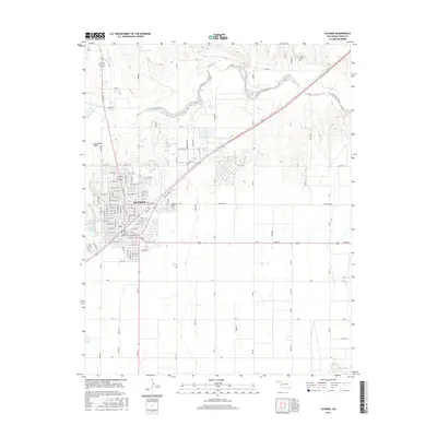
 - 2012 Map of Guymon, 2012 Print
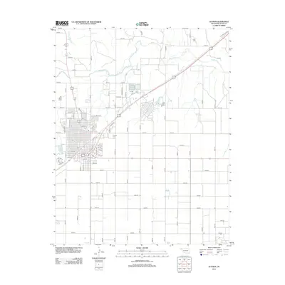 2012 Guymon2012 Print · USGSCovers Guymon, including Texas County, United States, and other nearby areas
 - 2016 Map of Goodwell NE, 2016 Print
 2016 Goodwell NE2016 Print · USGSCovers Guymon, including Texas County, United States, and other nearby areas
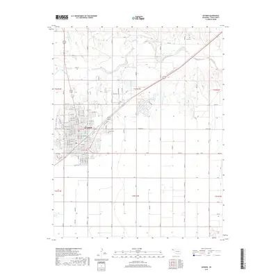
 - 2016 Map of Guymon, 2016 Print
 2016 Guymon2016 Print · USGSCovers Guymon, including Texas County, United States, and other nearby areas
 - 2018 Map of Goodwell NE, 2018 Print
 2018 Goodwell NE2018 Print · USGSCovers Guymon, including Texas County, United States, and other nearby areas
 - 2018 Map of Guymon, 2018 Print
 2018 Guymon2018 Print · USGSCovers Guymon, including Texas County, United States, and other nearby areas
 - 2022 Map of Guymon, 2022 Print
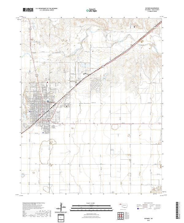 2022 Guymon2022 Print · USGSGuymon and the surrounding Oklahoma Panhandle landscape are captured here in 2022, showing the city's growth and its vital river connections. Local historians can trace the town's grid from the Texas County Courthouse out to landmarks like Elmhurst Cem and the Beaver River.
 - 2022 Map of Goodwell NE, 2022 Print
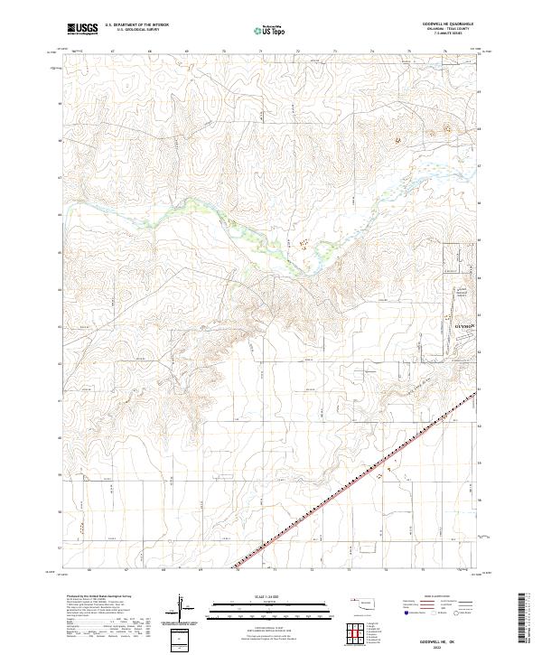 2022 Goodwell NE2022 Print · USGSTexas County, Oklahoma, in the early 2020s shows the expanding northern reaches of the county seat. You can trace the path of the Beaver River and locate the Guymon Municipal Airport amidst the rural road grid.
End of results
Showing maps 1-10 of 10
Top cities near Guymon
Frequently asked questions
- What are the different types of historical maps available for Guymon?
- What is the oldest map of Guymon?
- Where can I purchase historical maps of Guymon for my home or office?
- Where can I download high-res historical maps of Guymon?
- Are there historical topographic maps available for Guymon?
- Is there historical aerial imagery available for Guymon?
- Where are historical maps of Guymon sourced from?