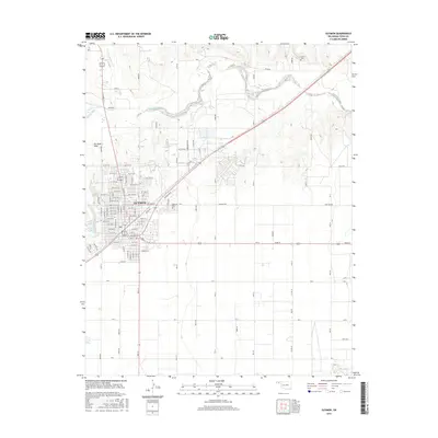
2016 Map of Guymon
USGS Topo · Published 2016About this map
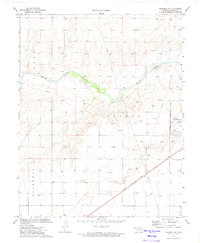
Guymon serves as the focal point of this High Plains landscape, situated at a major crossroads in the Oklahoma Panhandle. The city's residential and commercial grid is extensively detailed, showing the expansion of neighborhoods through streets like Yucca Blvd and Cactus Dr. The Beaver River meanders across the northern portion of the quadrangle, flanked by ephemeral drainage features such as Dry Sand Draw and Three Seeds Draw Cr. Local history and genealogy are well-represented by the inclusion of Elmhurst Cem on the edge of town and the more distant Carter Cem to the northeast. Near the city center, Sunset Lake provides a notable recreational landmark. The surrounding landscape is defined by a rigid section-line road network, reflecting the area's agricultural foundations and the vast, open character of Texas County.
Find a feature on this map
90 named features on this map. Tap any name to fly to it.
Don’t see what you’re looking for? This feature index may not catch every label — zoom into the map to look around manually.
Map Details
Editions of this 2016 Guymon Map
This is the sole edition of this map. No revisions or reprints were ever made.
Other maps of this area

1954 · Perryton
USGS Topo · 1:250,000

1958 · Perryton
USGS Topo · 1:250,000
1967 · Straight SW
USGS Topo · 1:24,000
1967 · Optima
USGS Topo · 1:24,000
1968 · Guymon
USGS Topo · 1:24,000
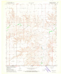
1968 · Guymon SW
USGS Topo · 1:24,000
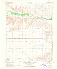
1968 · Guymon NE
USGS Topo · 1:24,000
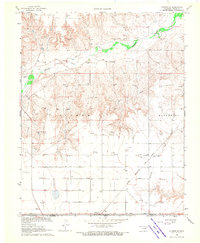
1968 · Guymon SE
USGS Topo · 1:24,000
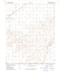
1973 · Goodwell SE
USGS Topo · 1:24,000
1973 · Goodwell NE
USGS Topo · 1:24,000