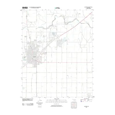
2010 Map of Guymon
USGS Topo · Published 2010About this map
Guymon serves as the central hub of this High Plains landscape, where the urban grid meets the winding course of the Beaver River. The city's 2010 footprint shows significant expansion, particularly in residential areas like North Ridge and near the industrial corridors in the south and east. Water management is a defining characteristic of the local geography, evidenced by the Sunset Lake Dam and the recreational waters of Sunset Lake on the western edge of the settlement.
Find a feature on this map
39 named features on this map. Tap any name to fly to it.
Don’t see what you’re looking for? This feature index may not catch every label — zoom into the map to look around manually.
Map Details
Editions of this 2010 Guymon Map
This is the sole edition of this map. No revisions or reprints were ever made.
Other maps of this area

1954 · Perryton
USGS Topo · 1:250,000

1958 · Perryton
USGS Topo · 1:250,000

1967 · Straight SW
USGS Topo · 1:24,000

1967 · Optima
USGS Topo · 1:24,000

1968 · Guymon
USGS Topo · 1:24,000

1968 · Guymon SW
USGS Topo · 1:24,000

1968 · Guymon NE
USGS Topo · 1:24,000

1968 · Guymon SE
USGS Topo · 1:24,000

1973 · Goodwell SE
USGS Topo · 1:24,000

1973 · Goodwell NE
USGS Topo · 1:24,000