Old Maps of Hollister, Oklahoma
Explore 14 old maps of Hollister, spanning from 1955 to today. These high-resolution historic maps reveal how streets, neighborhoods, landmarks, and natural features evolved over time — perfect for genealogy, metal detecting, research, and local history exploration.
What you can do with these maps:
- See how Hollister changed over time: Compare historical maps to modern-day views to trace roads, homesites, rail lines & more.
- View detailed metadata: Each map includes creators, publishers, year, scale, and archive source.
- Overlay maps with satellite & LiDAR: Visualize the past alongside modern tools to explore terrain & human change.
- Trusted historical sources: Maps sourced from the USGS, Library of Congress, and other archives.
- Access maps your way: View online, download high-res files, or order prints for personal or research use.
Start exploring old maps of Hollister to uncover forgotten places, hidden landmarks, and the deep history beneath your feet.
Hollister, OK maps
(14)- 1955 Map of Lawton, 1958 Print
 1955 Lawton1958 Print · USGSSouthwestern Oklahoma and North Texas are shown here in the mid-fifties, dominated by the Wichita Mountains and the vital Red River watershed. Genealogists and historians can trace the foundations of Lawton alongside rural landmarks like Rainy Mountain Church and Pleasant Hill School.5 unique versions available
 - 1974 Map of Hackberry Flat, 1977 Print
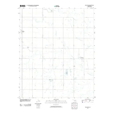
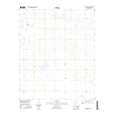
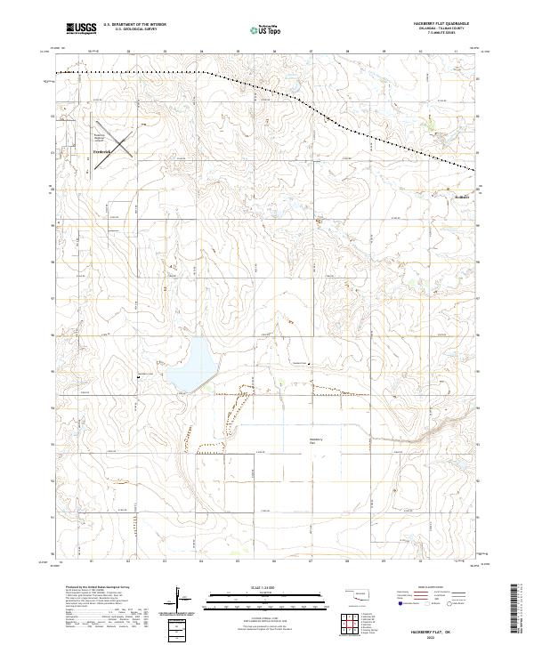
 1974 Hackberry Flat1977 Print · USGSTillman County in the mid-1970s shows a landscape shaped by petroleum and rail transport. Genealogists and local historians can locate Hackberry Cem, Dunkard Cem, and the Missouri-Kansas-Texas rail line.
 - 1974 Map of Hollister, 1977 Print
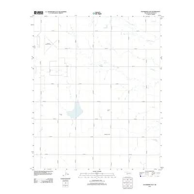
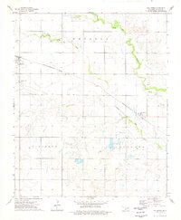 1974 Hollister1977 Print · USGSTillman County's agricultural heartland is captured in the mid-seventies, showing the rail-dependent layout of the plains. Trace family ties at Hollister Cem and Loveland Cem, or follow the path of the Missouri-Kansas-Texas railroad.
 - 1985 Map of Burkburnett, 1986 Print
 1985 Burkburnett1986 Print · USGSThe Red River valley and North Texas oil fields are captured here in the mid-eighties, showing the vital connection between military hubs and rail towns. Researchers can trace the path of the Missouri Kansas Texas railroad through Burkburnett or locate Waurika Lake and Sheppard Air Force Base.2 unique versions available
 - 2010 Map of Hollister, 2010 Print
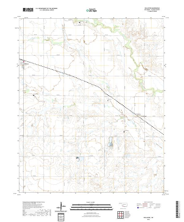
 2010 Hollister2010 Print · USGSCovers Hollister, including Loveland, Tillman County, and other nearby areas
 - 2010 Map of Hackberry Flat, 2010 Print
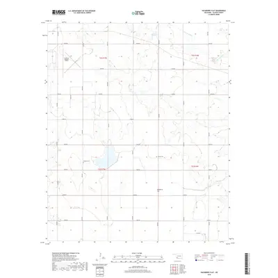
 2010 Hackberry Flat2010 Print · USGSCovers Hollister, including Frederick, Tillman County, and other nearby areas
 - 2012 Map of Hollister, 2012 Print
 2012 Hollister2012 Print · USGSCovers Hollister, including Loveland, Tillman County, and other nearby areas
 - 2012 Map of Hackberry Flat, 2012 Print
 2012 Hackberry Flat2012 Print · USGSCovers Hollister, including Frederick, Tillman County, and other nearby areas
 - 2016 Map of Hollister, 2016 Print
 2016 Hollister2016 Print · USGSCovers Hollister, including Loveland, Tillman County, and other nearby areas
 - 2016 Map of Hackberry Flat, 2016 Print
 2016 Hackberry Flat2016 Print · USGSCovers Hollister, including Frederick, Tillman County, and other nearby areas
 - 2018 Map of Hollister, 2018 Print
 2018 Hollister2018 Print · USGSCovers Hollister, including Loveland, Tillman County, and other nearby areas
 - 2018 Map of Hackberry Flat, 2018 Print
 2018 Hackberry Flat2018 Print · USGSCovers Hollister, including Frederick, Tillman County, and other nearby areas
 - 2022 Map of Hollister, 2022 Print
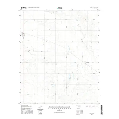
 2022 Hollister2022 Print · USGSTillman County's agricultural heartland is documented here in the early twenty-first century, showing the enduring layouts of small prairie towns. Genealogists can locate several local burial sites, including Hollister Cemetery and Loveland Cemetery, alongside the winding Little Deep Red Creek.
 - 2022 Map of Hackberry Flat, 2022 Print
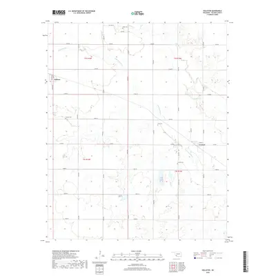
 2022 Hackberry Flat2022 Print · USGSOklahoma's southwestern plains come alive in this recent survey of Tillman County's rural townships. Local historians can trace family ties at Hackberry Cem and Dunkard Cem or explore the landscape around Frederick and Hollister.
End of results
Showing maps 1-14 of 14
Top cities near Hollister
- Frederick historical maps
- Grandfield historical maps
- Chattanooga historical maps
- Davidson historical maps
- Manitou historical maps
- Loveland historical maps
Frequently asked questions
- What are the different types of historical maps available for Hollister?
- What is the oldest map of Hollister?
- Where can I purchase historical maps of Hollister for my home or office?
- Where can I download high-res historical maps of Hollister?
- Are there historical topographic maps available for Hollister?
- Is there historical aerial imagery available for Hollister?
- Where are historical maps of Hollister sourced from?