Old Maps of Manitou, Oklahoma for Metal Detecting
Plan your next treasure hunt with 11 historic maps of Manitou. Find old homesites, ghost towns, trails, and gathering spots that may be lost to time — perfect for identifying promising metal detecting locations.
- Locate forgotten sites: Uncover places like long-lost settlements, abandoned rail lines, or gathering spots.
- Plan better hunts: Use map overlays combined with LiDAR or satellite views to narrow in on historically rich areas.
- Made for detectorists: Thousands of hobbyists use these maps to discover relics, coins, and hidden history.
Use these historic maps to boost your research and find new opportunities beneath the surface of Manitou.
Manitou, OK maps
(11)- 1950 Map of Snyder, 1953 Print
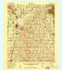
 1950 Snyder1953 Print · USGSKiowa and Tillman Counties come into focus during the early fifties, showing a landscape where the granite peaks of the Wichita Mountains meet the Oklahoma prairie. Genealogists can locate numerous rural landmarks like Richland Sch, Maple Grove Ch, and the Oklahoma Cem.2 unique versions available
 - 1955 Map of Lawton, 1958 Print
 1955 Lawton1958 Print · USGSSouthwestern Oklahoma and North Texas are shown here in the mid-fifties, dominated by the Wichita Mountains and the vital Red River watershed. Genealogists and historians can trace the foundations of Lawton alongside rural landmarks like Rainy Mountain Church and Pleasant Hill School.5 unique versions available
 - 1956 Map of Manitou, 1959 Print
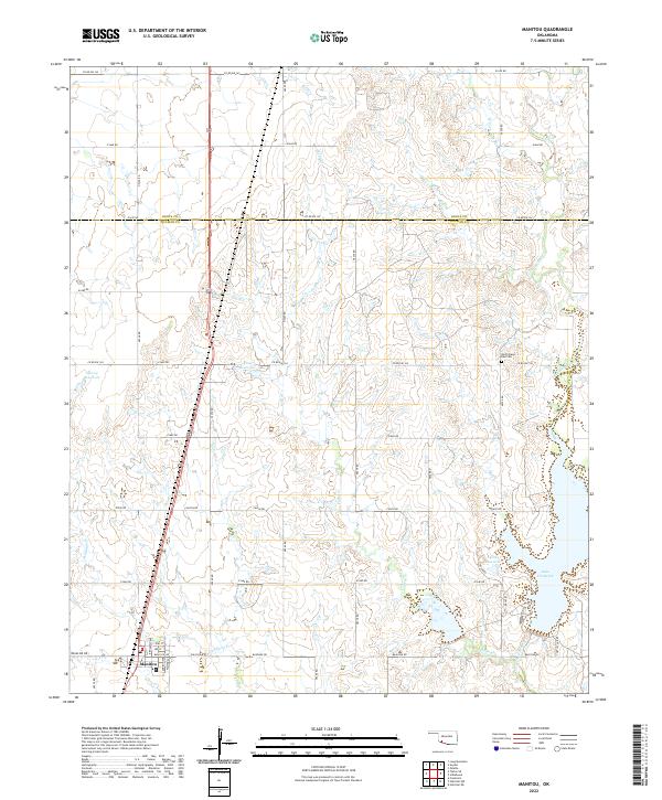
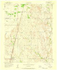 1956 Manitou1959 Print · USGSIn the Oklahoma plains during the mid-fifties, Manitou stood as a key rail stop along the St Louis San Francisco line. Genealogists and local historians can trace the rural landscape across the Kiowa and Tillman County line to find Deep Red Cemetery and the winding course of Deep Red Creek.
 - 1956 Map of Snyder, 1960 Print
 1956 Snyder1960 Print · USGSSouthwestern Oklahoma's agricultural and mountain landscapes meet in the mid-1950s as the rail lines connect growing prairie towns. Researchers can locate family sites at Sopefield Cemetery, Oak Mission School, or the rural Pilgrim Church.
 - 1981 Map of Lawton
 1981 Lawton1981 Print · USGSSouthwestern Oklahoma in the early eighties shows a landscape shaped by military history and the rising peaks of the Wichitas. Researchers can trace the boundaries of the Fort Sill Military Reservation and locate early settlements like Meers, Chattanooga, and Richards Spur.
 - 1991 Map of Manitou, 1992 Print
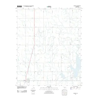
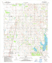 1991 Manitou1992 Print · USGSThe southwestern Oklahoma plains near the Kiowa and Tillman county line are captured here in the early nineties. Genealogists and local historians can trace the town grid of Manitou, locate the North Deep Red Cem, or explore the shoreline of Lake Frederick.
 - 2010 Map of Manitou, 2010 Print
 2010 Manitou2010 Print · USGSCovers Manitou, including Tillman County, Kiowa County, and other nearby areas
 - 2012 Map of Manitou, 2012 Print
 2012 Manitou2012 Print · USGSCovers Manitou, including Tillman County, Kiowa County, and other nearby areas
 - 2016 Map of Manitou, 2016 Print
 2016 Manitou2016 Print · USGSCovers Manitou, including Tillman County, Kiowa County, and other nearby areas
 - 2018 Map of Manitou, 2018 Print
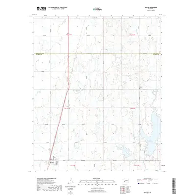 2018 Manitou2018 Print · USGSCovers Manitou, including Tillman County, Kiowa County, and other nearby areas
 - 2022 Map of Manitou, 2022 Print
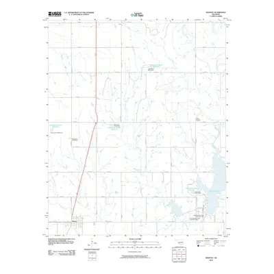
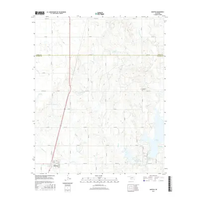
 2022 Manitou2022 Print · USGSIn the open country along the Tillman and Kiowa county line, this modern survey shows the town of Manitou and its surrounding water systems. Genealogists can locate North Deep Red Cem while researchers trace the flow of Deep Red Creek into Lake Frederick.
End of results
Showing maps 1-11 of 11
Top cities near Manitou
- Frederick historical maps
- Snyder historical maps
- Tipton historical maps
- Mountain Park historical maps
- Indiahoma historical maps
- Headrick historical maps
See more
Frequently asked questions
- What are the different types of historical maps available for Manitou?
- What is the oldest map of Manitou?
- Where can I purchase historical maps of Manitou for my home or office?
- Where can I download high-res historical maps of Manitou?
- Are there historical topographic maps available for Manitou?
- Is there historical aerial imagery available for Manitou?
- Where are historical maps of Manitou sourced from?