2020s Maps of Tulsa County, Oklahoma
Explore 22 historic maps of Tulsa County from the 2020s. These maps offer a rare glimpse into what life looked like during the 2020s — showing old roads, neighborhoods, homes, and landmarks that have changed or disappeared over time.
Whether you're researching your family's past, planning a metal detecting trip, or studying how Tulsa County's landscape evolved across the 2020s, these high-resolution maps are a powerful tool for exploring the history of this region.
- Focus on a specific era: All maps on this page are from the 2020s, giving you a focused view of this time period.
- See what’s changed: Compare century-old streets, trails, and buildings to today's modern landscape using overlays and satellite layers.
- Research with precision: Use these maps for genealogy, historical research, land use analysis, or educational projects.
- View, download, or print: Maps are fully viewable online in high resolution, and can be downloaded or printed for your own records.
Start exploring Tulsa County's history through authentic maps from the 2020s. This is your window into the past.
Tulsa County, OK maps
(22)- 2022 Map of Spanish Peak, 2022 Print
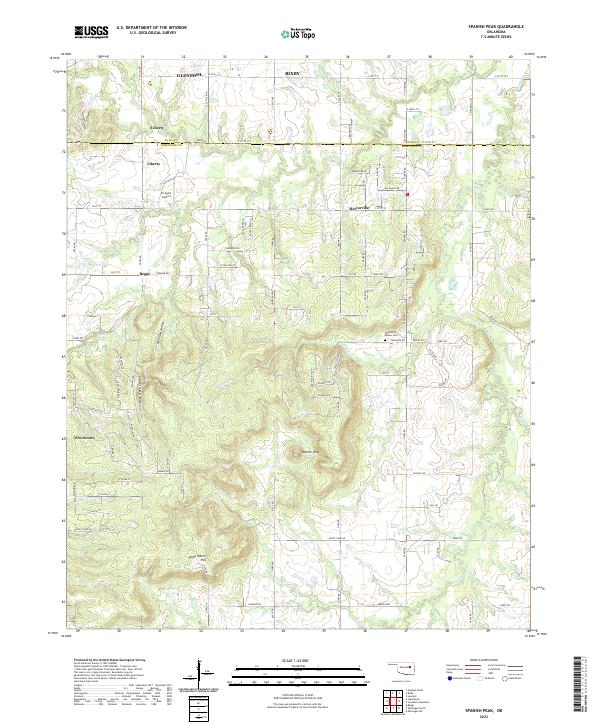 2022 Spanish Peak2022 Print · USGSThe Oklahoma borderlands of Tulsa and Okmulgee counties appear here in the early 2020s, showing a mix of growing suburban fringes and rural cattle country. Family history researchers can locate the Fleetwood Bruner Cemetery or trace the geography around Hectorville and Spanish Peak.
 - 2022 Map of Vera, 2022 Print
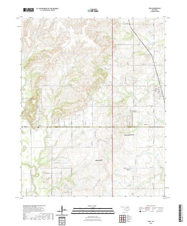 2022 Vera2022 Print · USGSThe northern reaches of Tulsa County and Washington County meet here in the early twenty-first century. Researchers can trace family sites near Hillside Mission Cem or follow the paths of Bird Creek and Nellie Bly Cr.
 - 2022 Map of Avant, 2022 Print
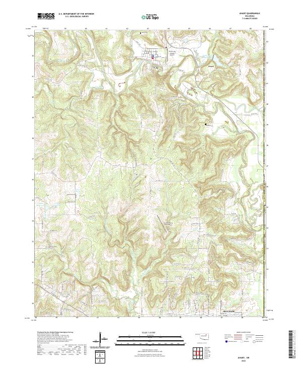 2022 Avant2022 Print · USGSOsage County in the early twenty-first century reveals a landscape of winding creek bottoms and rural holdings near the Tulsa County line. Researchers can locate family heritage sites at Avant Cem and Lombard Cem or trace water features like Bird Creek.
 - 2022 Map of Bixby, 2022 Print
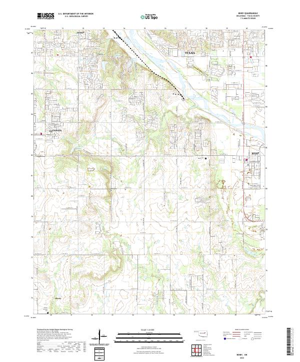 2022 Bixby2022 Print · USGSBixby and the southern Tulsa suburbs are captured here during a period of modern expansion along the Arkansas River. Researchers can trace local family history at Bixby Cemetery or explore the rural-to-suburban transition near Liberty and Applegate Hill.
 - 2022 Map of Lake Boren, 2022 Print
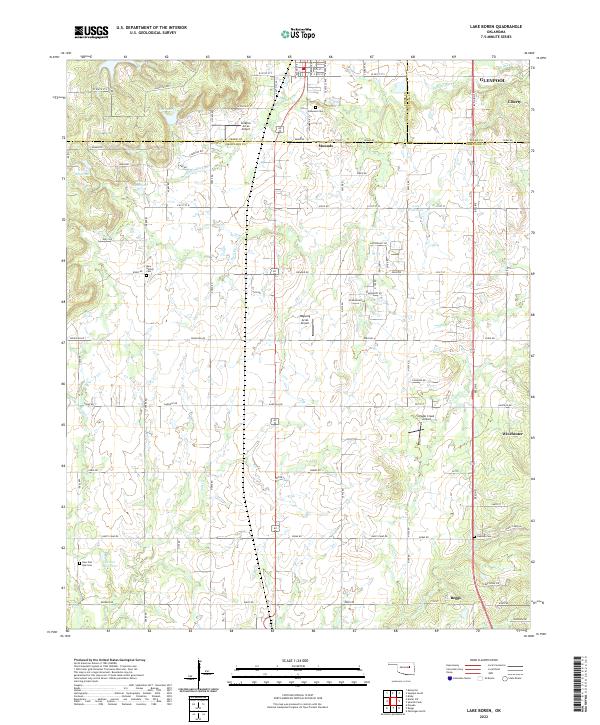 2022 Lake Boren2022 Print · USGSThe borderlands of Creek and Okmulgee Counties are captured here in a moment of continued rural-to-suburban transition. Local researchers can trace family landmarks like Oakwood Cem and Oakdale Cem, or locate aviation sites like Ragwing Acres Airport near Mounds.
 - 2022 Map of Sapulpa South, 2022 Print
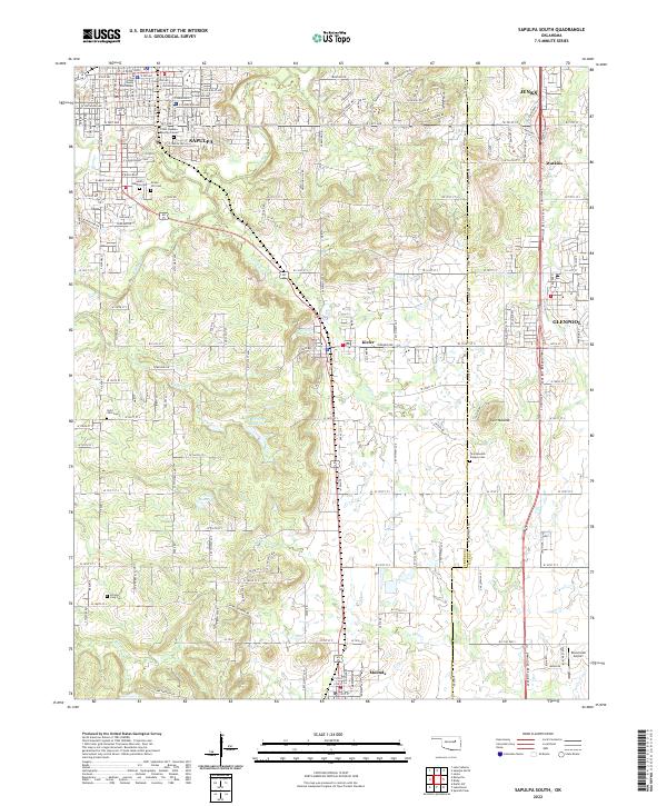 2022 Sapulpa South2022 Print · USGSCreek County south of Sapulpa exhibits a landscape of deep local history and energy development during the early twenty-first century. Genealogists and researchers can locate several notable burial sites including the Chief Sapulpa Burying Ground, Saint John Cem, and the historic Twin Mounds Pioneer Cem.
 - 2022 Map of Leonard, 2022 Print
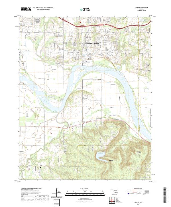 2022 Leonard2022 Print · USGSThe river valley south of Tulsa is captured here as modern residential growth meets the rural landscape of the Arkansas River. Genealogists can trace family footprints across several burial sites, including Snake Creek Cem, Sanger Cem, and the community of Leonard.
 - 2022 Map of Concharty Mountain, 2022 Print
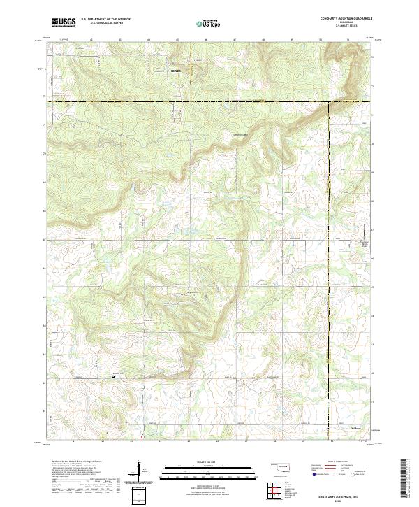 2022 Concharty Mountain2022 Print · USGSThe borderlands of Okmulgee and Tulsa counties are captured here in the early twenty-first century, showing a landscape of high ridges and rural homesteads. Genealogists and hikers can trace landmarks like Bald Hill Cem, Concharty Mtn, and the small community of Midway.
 - 2022 Map of Broken Arrow, 2022 Print
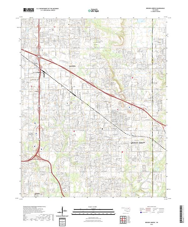 2022 Broken Arrow2022 Print · USGSBroken Arrow and southeast Tulsa are shown here at the start of the 2020s, revealing a landscape of rapid suburban growth. Researchers can locate Floral Haven Cem, the Tulsa Tech Center, and the winding course of Haikey Cr.
 - 2022 Map of Wekiwa, 2022 Print
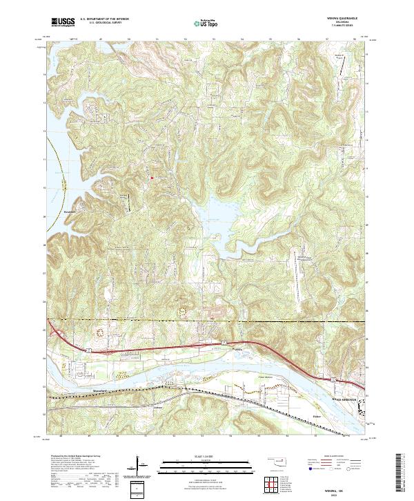 2022 Wekiwa2022 Print · USGSThe riverbanks and lakefronts of the Oklahoma interior are captured in this recent survey of the lands between the Arkansas River and Keystone Lake. Researchers can trace local development around Westport, Mannford, and the rural community of Lotsee.
 - 2022 Map of Sand Springs, 2022 Print
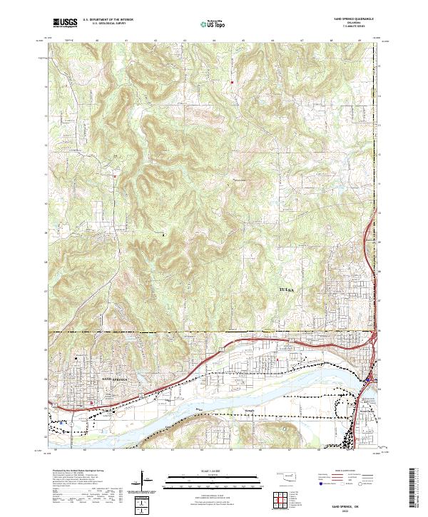 2022 Sand Springs2022 Print · USGSThe riverfront communities of Sand Springs and Tulsa appear here in detail during their modern development along the Arkansas River. Genealogists and historians can trace local landmarks such as Hellard Cem or the industrial corridors of the BNSF Railway.
 - 2022 Map of Sapulpa North, 2022 Print
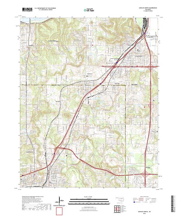 2022 Sapulpa North2022 Print · USGSCreek County and Tulsa County meet in this modern survey of the urban-suburban corridor between Sapulpa and Jenks. Researchers can locate family sites at Little Cussetah Cem, track the BNSF Railway, and find local landmarks like Lookout Mtn.
 - 2022 Map of Mingo, 2022 Print
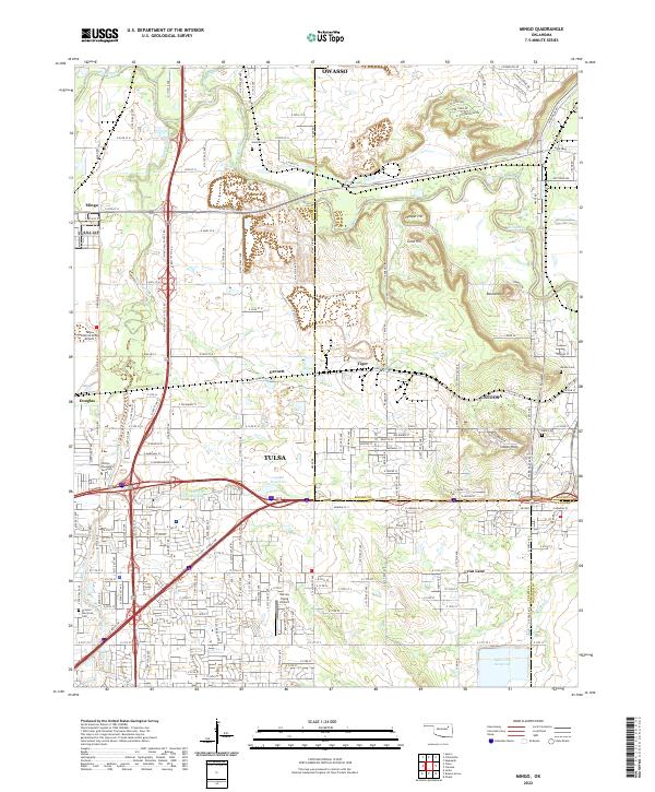 2022 Mingo2022 Print · USGSGreater Tulsa and Catoosa are shown during a period of modern expansion at the Rogers County line. Genealogists and researchers can locate legacy landmarks like Harlow Cem, the Harvey Young Airport, and the Rock Quarry.
 - 2022 Map of Avant SE, 2022 Print
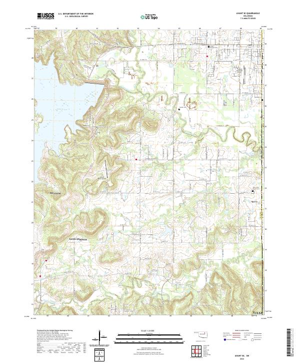 2022 Avant SE2022 Print · USGSThe Osage and Tulsa County line area is captured here during a period of suburban transition and aviation growth. Researchers can locate family roots at Osage Gardens Cem or trace the rural landscape near Skiatook Municipal Airport and Hominy Creek.
 - 2022 Map of Collinsville NE, 2022 Print
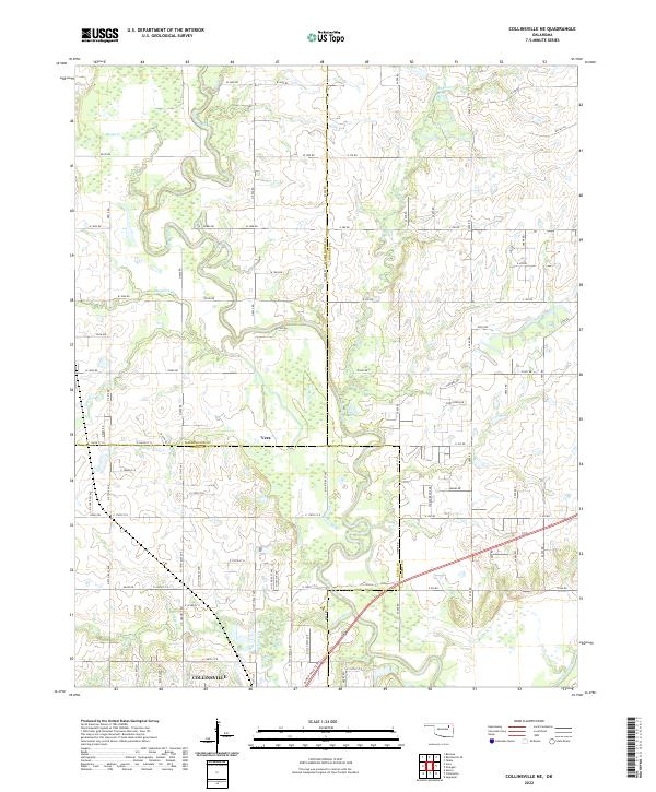 2022 Collinsville NE2022 Print · USGSNortheastern Oklahoma's prairie and river bottoms are captured here as they appeared recently, showing the intersection of three counties. Genealogists and local historians can trace the rural layouts surrounding Vera and Collinsville, along with the winding course of the Caney River.
 - 2022 Map of Collinsville, 2022 Print
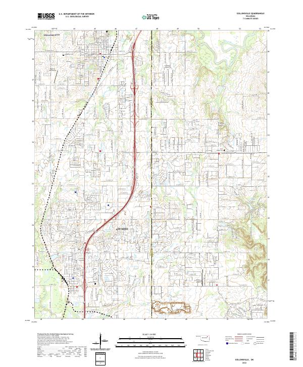 2022 Collinsville2022 Print · USGSThe growing suburban corridor between Collinsville and Owasso is captured here during the early 2020s. Local researchers can trace family sites at Victory Indian Cem or locate regional landmarks like Sandridge Airpark Inc and Ward Lake.
 - 2022 Map of Lake Sahoma, 2022 Print
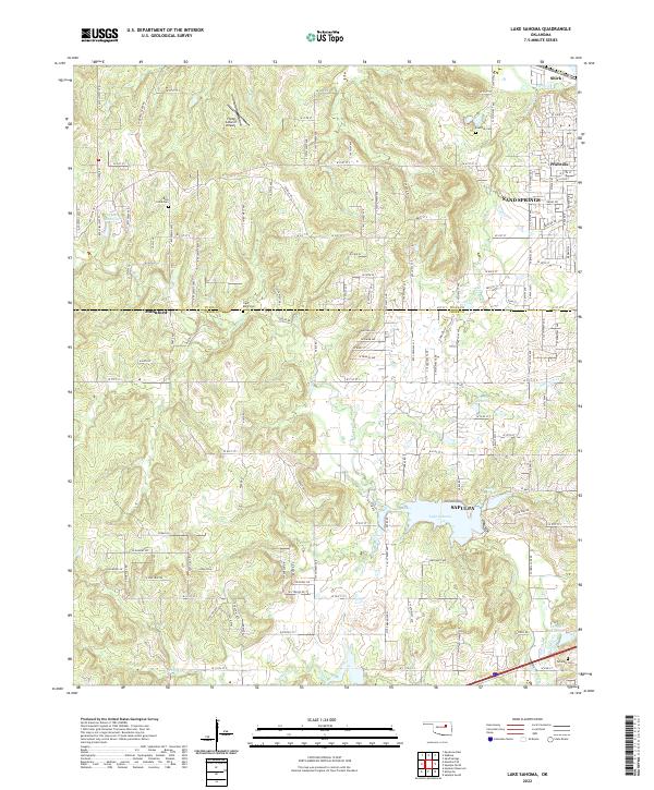 2022 Lake Sahoma2022 Print · USGSThe borderlands of Creek and Tulsa Counties come into focus here during the early 2020s, where suburban expansion meets rural landscapes. Genealogists and local historians can trace family locations through sites like Rock Creek Cem, Tiger Bone Cem, and the neighborhoods surrounding Lake Sahoma.
 - 2022 Map of Jenks, 2022 Print
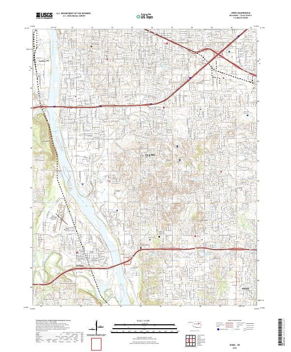 2022 Jenks2022 Print · USGSGreater Tulsa and the riverside community of Jenks are shown here during a period of sustained suburban growth in the early 2020s. Genealogists and local historians can locate established landmarks such as Oral Roberts University, Turkey Mountain, and several historical sites like the Rentie Grove Community Cemetery.
 - 2022 Map of Keystone Dam, 2022 Print
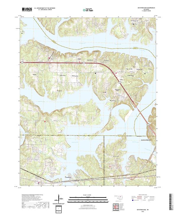 2022 Keystone Dam2022 Print · USGSThe intricate shoreline of Keystone Lake and the Arkansas River define this corner of Oklahoma in 2022. Researchers can trace local landmarks like Westport Airport, family burial sites at Prairie View Cem, and the layout of Mannford.
 - 2022 Map of Tulsa, 2022 Print
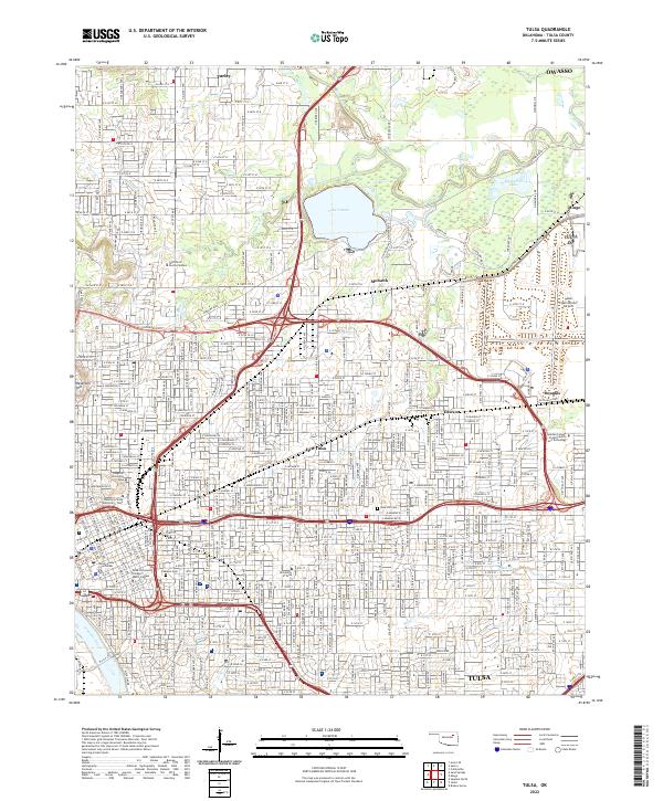 2022 Tulsa2022 Print · USGSTulsa's urban core and northern reaches are detailed in this recent survey, capturing the city’s complex academic and industrial infrastructure. Researchers can trace historic neighborhoods like Dawson and Mohawk, or locate local landmarks such as Rose Hill Cem and the University of Tulsa.
 - 2022 Map of Mannford SE, 2022 Print
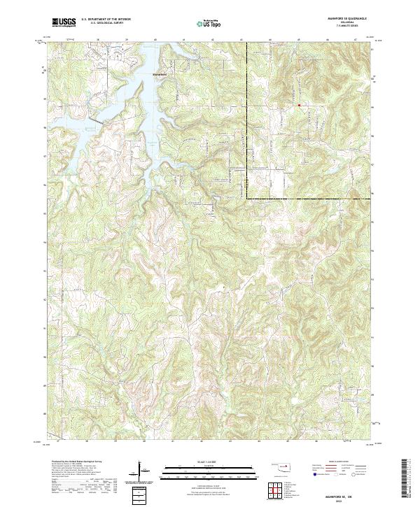 2022 Mannford SE2022 Print · USGSMannford and the shores of Keystone Lake are captured here in the early twenty-first century as the area continued to develop along the Creek and Tulsa County line. Local historians can trace family land via the township grids or follow the winding paths of Turkey Creek and Euchee Creek.
 - 2022 Map of Sperry, 2022 Print
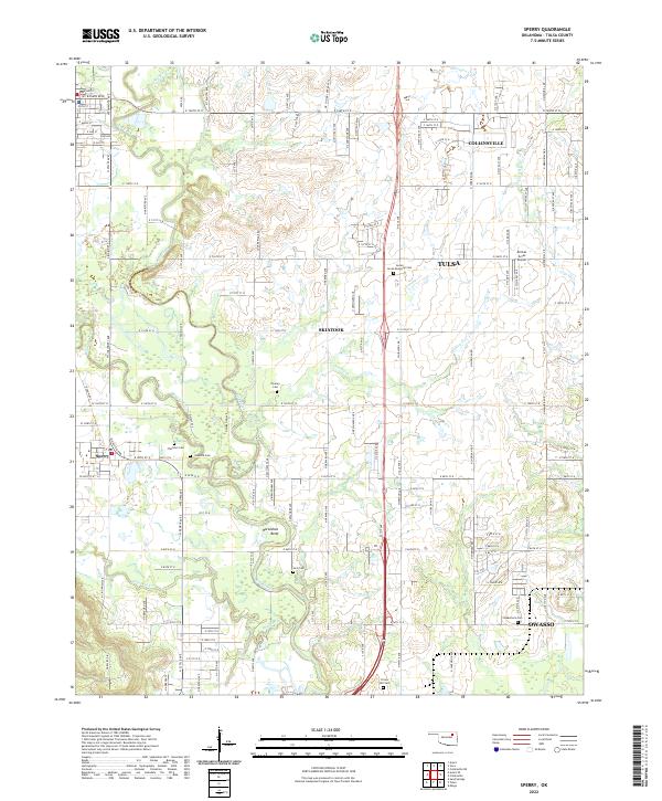 2022 Sperry2022 Print · USGSSperry and the northern Tulsa suburbs are captured here in the early 2020s, a period of steady residential expansion among the winding creek beds. Researchers can locate numerous local burial sites like Skybuck Cem and Chisholm Cem or trace the curves of Hominy Creek.
End of results
Showing maps 1-22 of 22
Top cities of Tulsa County
- Tulsa historical maps
- Broken Arrow historical maps
- Bixby historical maps
- Sand Springs historical maps
- Jenks historical maps
- Glenpool historical maps
See more
Frequently asked questions
- What are the different types of historical maps available for Tulsa County?
- What is the oldest map of Tulsa County?
- Where can I purchase historical maps of Tulsa County for my home or office?
- Where can I download high-res historical maps of Tulsa County?
- Are there historical topographic maps available for Tulsa County?
- Is there historical aerial imagery available for Tulsa County?
- Where are historical maps of Tulsa County sourced from?