2010s Maps of Wagoner County, Oklahoma
Explore 84 historic maps of Wagoner County from the 2010s. These maps offer a rare glimpse into what life looked like during the 2010s — showing old roads, neighborhoods, homes, and landmarks that have changed or disappeared over time.
Whether you're researching your family's past, planning a metal detecting trip, or studying how Wagoner County's landscape evolved across the 2010s, these high-resolution maps are a powerful tool for exploring the history of this region.
- Focus on a specific era: All maps on this page are from the 2010s, giving you a focused view of this time period.
- See what’s changed: Compare century-old streets, trails, and buildings to today's modern landscape using overlays and satellite layers.
- Research with precision: Use these maps for genealogy, historical research, land use analysis, or educational projects.
- View, download, or print: Maps are fully viewable online in high resolution, and can be downloaded or printed for your own records.
Start exploring Wagoner County's history through authentic maps from the 2010s. This is your window into the past.
Wagoner County, OK maps
(84)- 2010 Map of Neodesha, 2010 Print
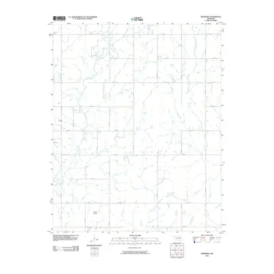 2010 Neodesha2010 Print · USGSWagoner County is shown at the turn of the decade as a rural network of farm-to-market roads and quiet creek valleys. Genealogists and local historians can locate Willow Cemetery, trace the path of Billy Creek, and identify the unique landform of Osage Mound.
 - 2010 Map of Taft, 2010 Print
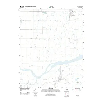 2010 Taft2010 Print · USGSWagoner County at the start of the twenty-first century is defined by its rural road network and the broad Arkansas River. Genealogists can trace family ties at Choska Cemetery or Blackjack Cemetery, while exploring the lowlands of Choska Bottom.
 - 2010 Map of Hulbert, 2010 Print
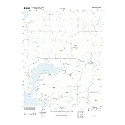 2010 Hulbert2010 Print · USGSHulbert and the surrounding Cherokee County highlands are captured here during the first decade of the 2000s. Researchers can locate numerous family-named landmarks and rural burial grounds, including Hare Cemetery, Waford Mountain, and Peckerwood Hill.
 - 2010 Map of Oneta, 2010 Print
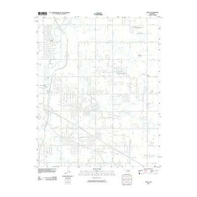 2010 Oneta2010 Print · USGSTulsa’s eastern suburban frontier comes into focus during this period of rapid expansion and highway growth. Genealogists and local historians can trace family roots at Smith Cemetery or Bailey Cemetery while following the paths of Adams Creek and the Creek Tpke.
 - 2010 Map of Inola, 2010 Print
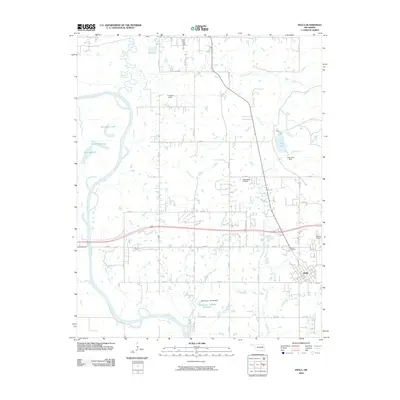 2010 Inola2010 Print · USGSInola and its surrounding Rogers County ranchlands are captured here at the start of the 2010s. Researchers can trace family ties at Sweeten Cemetery or explore the river-driven landscape around Horseshoe Lake and the Verdigris River.
 - 2010 Map of Catoosa SE, 2010 Print
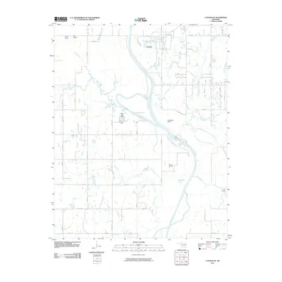 2010 Catoosa SE2010 Print · USGSInola, Oklahoma, and the Verdigris River valley are shown here just after the first decade of the millennium. Researchers can trace the river's path through Snake Den Bluff or locate local landmarks like Childers Cemetery and Lock and Dam 18.
 - 2010 Map of Concharty Mountain, 2010 Print
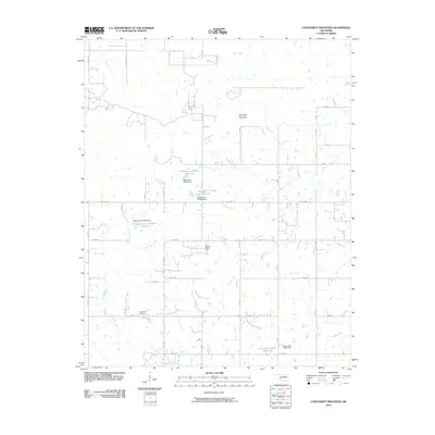 2010 Concharty Mountain2010 Print · USGSOklahoma's rural landscape south of Bixby is defined here by the elevations of Concharty Mountain and a web of prairie tributaries. Genealogists and historians can trace local landmarks like Bald Hill Cemetery and the many reservoirs along Rock Creek.
 - 2010 Map of Broken Arrow, 2010 Print
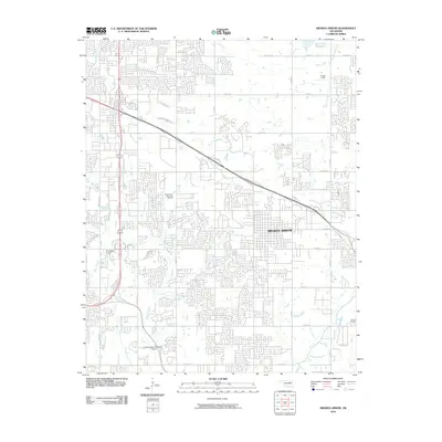 2010 Broken Arrow2010 Print · USGSOklahoma's suburban growth is on full display in the early 2000s as the residential networks of Broken Arrow expand. Genealogists and local historians can trace the development of Floral Haven Memorial Gardens or locate the specialized Silverwood Ultralight Airport.
 - 2010 Map of Haskell, 2010 Print
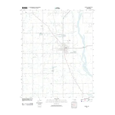 2010 Haskell2010 Print · USGSOklahoma's river valley landscape near the turn of the millennium shows the town of Haskell as a central hub for transport and community. Researchers can trace family history through many local burial grounds like Mount Zion Cemetery and Gibson Cemetery or locate landmarks like Gary Bridge over the Arkansas River.
 - 2010 Map of Wagoner West, 2010 Print
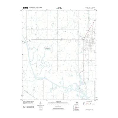 2010 Wagoner West2010 Print · USGSWagoner County at the start of the 2010s shows a landscape shaped by river transport and rural heritage. Genealogists and local historians can locate Grayson Cemetery, the Port of Dunkin along the Verdigris River, and the landmark Blue Mound.
 - 2010 Map of Leonard, 2010 Print
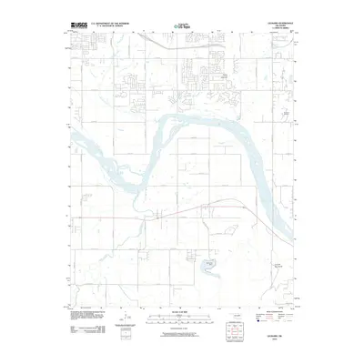 2010 Leonard2010 Print · USGSThe Arkansas River valley south of Broken Arrow is shown here as it appeared in the early twenty-first century. Genealogists and local historians can locate the Simmons Cemetery, trace the course of Snake Creek, and see the infrastructure of the Bixhoma Dam.
 - 2010 Map of Rocky Point, 2010 Print
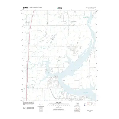 2010 Rocky Point2010 Print · USGSThe Neosho River corridor in Wagoner County is captured here just over a decade ago, showing a landscape defined by its winding waterways and reservoirs. Trace local history at the Union Mission Cemetery or follow the path of Poindexter Ferry Rd toward the Big Bend.
 - 2010 Map of Red Bird, 2010 Print
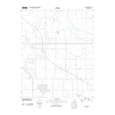 2010 Red Bird2010 Print · USGSWagoner County at the start of the 2010s shows a landscape of rural tradition meeting modern transit routes. Genealogists can locate several local burial sites like Hawkins Cemetery and Beck Cemetery near the winding Verdigris River.
 - 2010 Map of Northeast Muskogee, 2010 Print
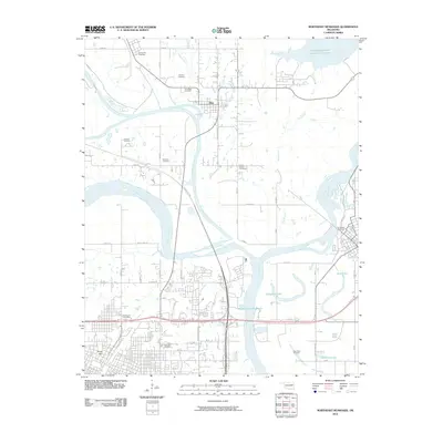 2010 Northeast Muskogee2010 Print · USGSMuskogee and its surrounding river valleys are captured here in the early twenty-first century, showing the meeting of the Arkansas, Neosho, and Verdigris Rivers. Genealogists and local historians can trace burial sites like Marshall Cemetery and New Hope Cemetery or locate the landmark Fort Gibson Stockade.
 - 2010 Map of Northwest Muskogee, 2010 Print
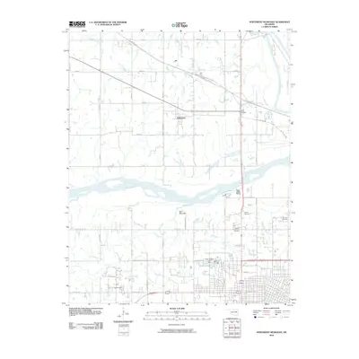 2010 Northwest Muskogee2010 Print · USGSMuskogee County in the early twenty-first century reveals a landscape where major river confluences meet growing residential hillsides. Researchers can trace family history through sites like the Booker T Washington Cemetery and Tullahassee, or explore the geography near Fern Mountain.
 - 2010 Map of Fort Gibson Dam, 2010 Print
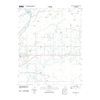 2010 Fort Gibson Dam2010 Print · USGSFort Gibson and the Neosho River valley appear in high detail during the early twenty-first century. Genealogists and historians can locate numerous burial sites, including the Fort Gibson National Cemetery, Walker Cemetery, and Starnes Cemetery.
 - 2010 Map of Wagoner East, 2010 Print
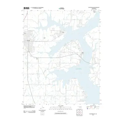 2010 Wagoner East2010 Print · USGSWagoner County at the start of the 2010s shows a landscape defined by the expansive waters of the Neosho River. Genealogists and local historians can locate Elmwood Cemetery, the Wagoner Airstrip, and the lakeside community of Taylor Ferry.
 - 2010 Map of Coweta, 2010 Print
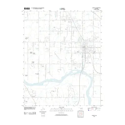 2010 Coweta2010 Print · USGSWagoner County at the start of the 2010s shows a landscape of river-bottom farming and growing townships. Genealogists can trace family footprints across numerous sites like Tiger Cemetery, Bird Cemetery, and Stonebluff along the Arkansas River.
 - 2010 Map of Catoosa, 2010 Print
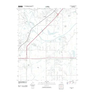 2010 Catoosa2010 Print · USGSThe industrial and riverfront corridor of northeast Oklahoma comes into focus here at the start of the 2010s. Genealogists can locate several family burial sites including Marshall Cemetery and River Hill Cemetery near the bustling Port of Catoosa.
 - 2010 Map of Mingo, 2010 Print
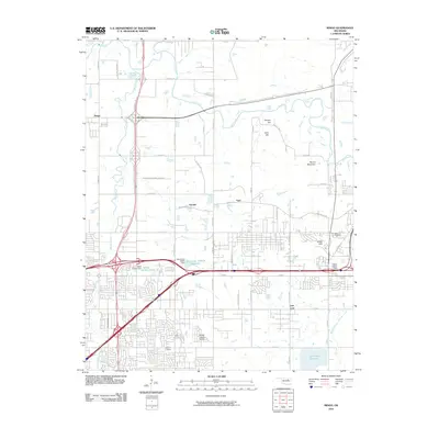 2010 Mingo2010 Print · USGSTulsa's northeastern outskirts are documented here in the early 21st century, showing the intersection of residential growth and regional infrastructure. Researchers can locate family landmarks like Duck Cemetery and trace the development of Garnett, Indian Hills, and the Harvey Young Airport.
 - 2010 Map of Cedar Crest, 2010 Print
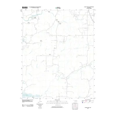 2010 Cedar Crest2010 Print · USGSCedar Crest and the surrounding hollows of Mayes County appear here in the early twenty-first century. Genealogists and local historians can locate Gray Cemetery and Downing Cemetery, or trace the winding courses of Spring Creek and Little Clear Creek through the wooded terrain.
 - 2012 Map of Oneta, 2012 Print
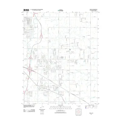 2012 Oneta2012 Print · USGSThe outskirts of Tulsa and the community of Oneta are shown here as they appeared during the early twenty-first century. Genealogists and local historians can trace rural family plots at Smith Cem and Bailey Cem along the banks of Adams Cr.
 - 2012 Map of Broken Arrow, 2012 Print
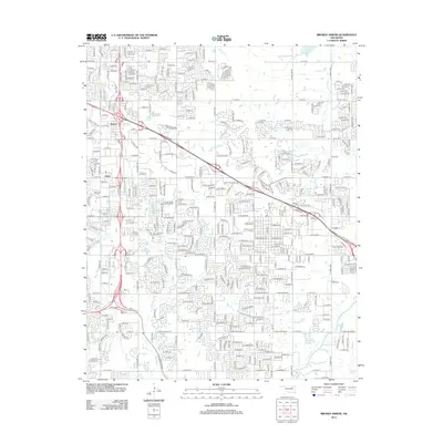 2012 Broken Arrow2012 Print · USGSBroken Arrow and eastern Tulsa are captured here in a moment of rapid suburban growth and transit development. Genealogists and local historians can trace the expanding residential grid around Alsuma, the grounds of Floral Haven Memorial Gardens, and the path of Spunky Cr.
 - 2012 Map of Catoosa, 2012 Print
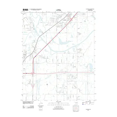 2012 Catoosa2012 Print · USGSCatoosa and the Verdigris River valley are shown in detail during a period of significant suburban expansion east of Tulsa. Researchers can locate local burial grounds like Timber Ridge Cem and family-named landmarks including Rascal Flat and Sam Riggs Airpark.
 - 2012 Map of Neodesha, 2012 Print
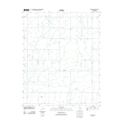 2012 Neodesha2012 Print · USGSWagoner County in the early twenty-first century maintains its rural character through a geometric grid of country roads and prairie creeks. Researchers can locate Willow Cem and identify the distinctive Osage Mound alongside the settlements of Neodesha and Keith.
Showing maps 1-25 of 84
Top cities of Wagoner County
- Coweta historical maps
- Wagoner historical maps
- Okay historical maps
- Porter historical maps
- Tullahassee historical maps
Frequently asked questions
- What are the different types of historical maps available for Wagoner County?
- What is the oldest map of Wagoner County?
- Where can I purchase historical maps of Wagoner County for my home or office?
- Where can I download high-res historical maps of Wagoner County?
- Are there historical topographic maps available for Wagoner County?
- Is there historical aerial imagery available for Wagoner County?
- Where are historical maps of Wagoner County sourced from?