Old Maps of Wilsonville, Oregon for Metal Detecting
Plan your next treasure hunt with 29 historic maps of Wilsonville. Find old homesites, ghost towns, trails, and gathering spots that may be lost to time — perfect for identifying promising metal detecting locations.
- Locate forgotten sites: Uncover places like long-lost settlements, abandoned rail lines, or gathering spots.
- Plan better hunts: Use map overlays combined with LiDAR or satellite views to narrow in on historically rich areas.
- Made for detectorists: Thousands of hobbyists use these maps to discover relics, coins, and hidden history.
Use these historic maps to boost your research and find new opportunities beneath the surface of Wilsonville.
Wilsonville, OR maps
(29)- 1914 Map of Oregon City
 1914 Oregon City1914 Print · USGSThe Willamette Valley at the start of the twentieth century was a landscape of rapid rail expansion and river-based industry. Researchers can trace early rural life through Wichita School and Lions Mill, or explore the growth of Oswego and Milwaukie.4 unique versions available
 - 1916 Map of Tualatin
 1916 Tualatin1916 Print · USGSThe northern Willamette Valley in the mid-1910s is a landscape of orchards and rail spurs, where river ferries still compete with new electric lines. Trace family roots at Champoeg Monument or explore old school sites like Grabel School and St Pauls School.5 unique versions available
 - 1939 Map of Oregon City, 1958 Print
 1939 Oregon City1958 Print · USGSThe Willamette Valley during the late thirties shows a landscape defined by river industry and competing rail lines. Genealogists and historians can trace family-named sites and rural institutions like the Ten O'clock Church, Linns Mill, and Reed College.
 - 1939 Map of Tualatin, 1958 Print
 1939 Tualatin1958 Print · USGSThe Tualatin Valley and Willamette River corridor are captured here before mid-century growth transformed the region. Genealogists can trace family footprints through dozens of rural landmarks, from Miners Landing and Butteville Sta to Mountainside School.
 - 1940 Map of Tualatin
 1940 Tualatin1940 Print · USGSThe Tualatin Valley comes into sharp focus during the late 1930s, showing the early footprints of Beaverton and Tigard amid a vast network of rail lines. Researchers can trace historic family schoolhouses like Witch Hazel School and locate the original path of Boones Ferry Road near Wilsonville.
 - 1941 Map of Oregon City
 1941 Oregon City1941 Print · USGSThe Lower Willamette Valley thrived on a mix of river power and rail transit in the early 1940s. Genealogists can trace family footprints across dozens of local school districts, from Petes Mountain School to Harmony School, and locate landmarks like Willamette Falls and the Ten O'clock Church.
 - 1948 Map of Vancouver, 1957 Print
 1948 Vancouver1957 Print · USGSPost-war growth transforms the river valleys of the Pacific Northwest as the timber and rail economy thrives. Trace family roots in Tillamook or Oregon City, and locate vanished landmarks like the spit at Bayocean or the Skamania Mine.
 - 1950 Map of Vancouver
 1950 Vancouver1950 Print · USGSCoastal Oregon and the lower Columbia River valley are captured in detail just after the war. Researchers can trace historic rail routes like the Southern Pacific or locate early settlements such as Vernonia, Gaston, and the Grand Ronde Indian Reservation.
 - 1950 Map of Vancouver, 1951 Print
 1950 Vancouver1951 Print · USGSThe Pacific Northwest urban corridor meets the rugged coast in the years following the war, showing the expansion of Portland and Vancouver. Genealogists and historians can trace the reach of the Southern Pacific RR and locate coastal communities like Tillamook, Seaside, and Tolovana Park.
 - 1954 Map of Sherwood, 1957 Print
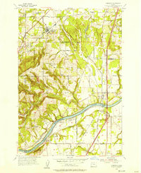 1954 Sherwood1957 Print · USGSThe northern Willamette Valley comes to life in the mid-1950s as the rail-and-river economy transitions toward highway development. Genealogists and local historians can trace family roots through the Pleasant Hill Cemetery, St Paul School, and the early riverfront layout of Butteville.
 - 1954 Map of Canby, 1957 Print
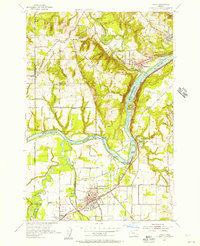 1954 Canby1957 Print · USGSThe north Willamette Valley is captured here in the mid-fifties, showing a landscape defined by its river forks and developing towns. Genealogists can locate family sites at Robert Bird Cemetery, Zoar Cemetery, or the rural crossroads of Advance.
 - 1958 Map of Vancouver, 1968 Print
 1958 Vancouver1968 Print · USGSThe Lower Columbia and Willamette valleys thrive in the late sixties as major rail and river hubs. Genealogists and historians can trace the development of Portland, identify the grounds of Camp Withycombe, and locate coastal landmarks from Tillamook Head to Garibaldi.3 unique versions available
 - 1961 Map of Canby
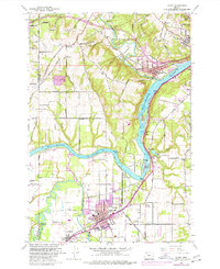 1961 Canby1961 Print · USGSThe riverfront communities south of Portland were thriving rail and water hubs in the early sixties. Researchers can trace family sites at the Robert Bird Cemetery or locate the historic Eccles Sch and New Era settlement along the Southern Pacific tracks.4 unique versions available
 - 1961 Map of Sherwood
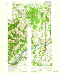 1961 Sherwood1961 Print · USGSThe northern Willamette Valley in the early sixties is a landscape of thriving river towns and developing highways. Genealogists and historians can locate Butteville Cem, the Dammasch State Hospital, and rail stops like Butteville Station.5 unique versions available
 - 1961 Map of Oregon City, 1963 Print
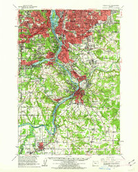 1961 Oregon City1963 Print · USGSThe Willamette River corridor south of Portland is seen here in the early sixties as suburban growth meets long-standing river towns. Genealogists and historians can trace the foundations of Oregon City, Milwaukie, and Canemah, alongside landmarks like Willamette National Cem and Camp Withycombe.
 - 1961 Map of Beaverton, 1963 Print
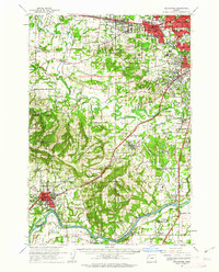 1961 Beaverton1963 Print · USGSWashington County undergoes a post-war transition in the early sixties as suburban grids meet the farms of the Tualatin Valley. Researchers can trace family roots through numerous country schools like Witch Hazel Sch or find regional landmarks like Dammasch State Hospital and Champoeg State Park.
 - 1964 Map of Vancouver
 1964 Vancouver1964 Print · USGSThe Pacific Northwest interior and coast are shown here in the 1960s, from the Portland metropolitan hub to the rugged Pacific shoreline. Researchers can trace the legacy of the Grand Ronde Indian Reservation, the early layout of McMinnville, and the maritime approaches near Tillamook Head.
 - 1975 Map of Canby, 1977 Print
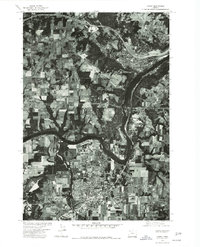 1975 Canby1977 Print · USGSThe northern Willamette Valley in the mid-seventies reveals a mix of riverside industry and expanding orchard lands. Trace the development of Canby and West Linn along the banks of the Willamette River and the Tualatin River.
 - 1982 Map of Oregon City, 1983 Print
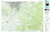 1982 Oregon City1983 Print · USGSGreater Portland and the Willamette Valley are shown in the early eighties as the region's urban and rural landscapes converged. Genealogists and historians can trace family-named sites across French Prairie, visit St Paul Ch, or locate the grounds of Dammasch State Hospital.
 - 2011 Map of Sherwood, 2011 Print
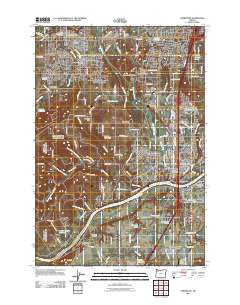 2011 Sherwood2011 Print · USGSThe northern Willamette Valley at the start of the twenty-first century reveals a blend of historic river crossings and rapid suburban development. Researchers can trace the heritage of local families through Butteville Cemetery, the site of Boones Ferry, and the unique terrain of the Tonquin Scablands.
 - 2011 Map of Canby, 2011 Print
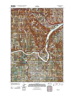 2011 Canby2011 Print · USGSThe Willamette and Molalla rivers meet in Clackamas County during this period of modern suburban expansion and rural preservation. Genealogists can trace family roots at Baker Prairie Cemetery or Zoar Cemetery, while industrial historians can locate the Canby Ferry and Union Pacific rail lines.
 - 2014 Map of Sherwood, 2014 Print
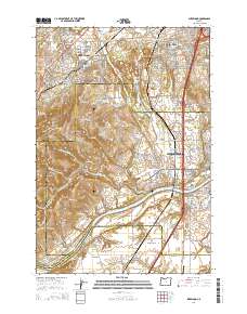 2014 Sherwood2014 Print · USGSThe Tualatin Valley and northern Willamette River corridor meet in this 2014 survey of a rapidly growing agricultural and suburban landscape. Researchers can locate historic local landmarks like Butteville Cem, the Boones Ferry Landing Boat Ramp, and the old crossroads at Six Corners.
 - 2014 Map of Canby, 2014 Print
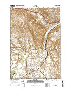 2014 Canby2014 Print · USGSThe confluence of the Willamette and Molalla Rivers defined this Clackamas County region during the early twenty-first century. Genealogists and historians can trace riverside heritage through the Barlow Pioneer Cem, the historic Canby Ferry Landing North, and the Clackamas County Fairgrounds.
 - 2017 Map of Sherwood, 2017 Print
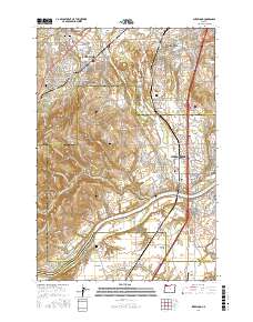 2017 Sherwood2017 Print · USGSThe Willamette Valley comes into sharp focus during this period of suburban growth and agricultural preservation. Genealogists and local historians can trace family roots through Saint Paul Lutheran Cem, locate the old settlement at Middleton, or explore the river landings near Butteville.
 - 2017 Map of Canby, 2017 Print
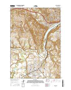 2017 Canby2017 Print · USGSThe Willamette River valley south of Oregon City comes into sharp focus during this period of suburban and industrial development. Researchers can trace family history through numerous landmarks like the Robert Bird Cem and Baker Prairie Cem, or follow the rail-and-road paths connecting Canby and Barlow.
Showing maps 1-25 of 29
Top cities near Wilsonville
- Portland historical maps
- Hillsboro historical maps
- Beaverton historical maps
- Tigard historical maps
- Lake Oswego historical maps
- Oregon City historical maps
See more
Top neighborhoods of Wilsonville
- Canyon Creek historical maps
- Villebois historical maps
- Wilsonville Town Center historical maps
- Charbonneau historical maps
- Old Town historical maps
Frequently asked questions
- What are the different types of historical maps available for Wilsonville?
- What is the oldest map of Wilsonville?
- Where can I purchase historical maps of Wilsonville for my home or office?
- Where can I download high-res historical maps of Wilsonville?
- Are there historical topographic maps available for Wilsonville?
- Is there historical aerial imagery available for Wilsonville?
- Where are historical maps of Wilsonville sourced from?