Old Maps of Fields, Oregon for Hiking & Exploration
Hike through history with 10 historic maps of Fields. Explore old trails, ghost towns, and forgotten backroads — perfect for outdoor adventurers and local explorers.
- Rediscover forgotten places: Map out old mining camps, roads, and footpaths that no longer exist on modern maps.
- Layer with modern tools: Combine with LiDAR or satellite views to plan hikes through historical terrain.
- Made for exploration: Popular among hikers, overlanders, and local history lovers.
Use these maps to find adventure and explore the hidden past of Fields.
Fields, OR maps
(10)- 1955 Map of Adel, 1971 Print
 1955 Adel1971 Print · USGSSoutheast Oregon in the mid-fifties remains a landscape of vast alkaline basins and high mountain scarps, anchored by remote outposts. Researchers can trace historic ranching routes through Catlow Valley and locate landmarks like Beatys Butte or the small settlement of Blitzen.2 unique versions available
 - 1957 Map of Adel
 1957 Adel1957 Print · USGSSoutheast Oregon in the mid-fifties reveals a high-desert landscape of sprawling ranches and vast wildlife refuges before modern development. Genealogists and researchers can trace the remote outposts of the region, from the Red Point School to historic headquarters like the Guano Ranch and Frenchglen.
 - 1958 Map of Adel
 1958 Adel1958 Print · USGSSoutheastern Oregon in the mid-fifties is captured here, showing a vast territory of high desert basins and isolated ranching outposts. Genealogists and researchers can trace the locations of the Red Point School, Frenchglen, and remote sites like Guano Ranch.2 unique versions available
 - 1962 Map of Adel, 1963 Print
 1962 Adel1963 Print · USGSSoutheastern Oregon in the early sixties reveals a landscape of massive basins, remote ranches, and expansive wildlife refuges. Researchers can locate vanished rural infrastructure like the Trout Creek School or trace early routes through Adel and Frenchglen.
 - 1971 Map of Fields, 1974 Print
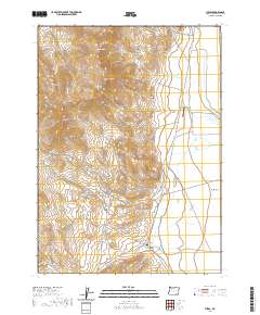
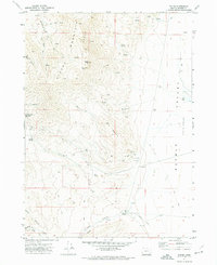 1971 Fields1974 Print · USGSHigh-desert ranching and mining operations define the Harney County landscape in the early seventies as the Pueblo Valley meets the Steens Mountain range. Geologists and local historians can locate mineral claims like the Lucky Star Mine and Mogul Mine or trace the early footprint of Fields.3 unique versions available
 - 1982 Map of Alvord Lake, 1983 Print
 1982 Alvord Lake1983 Print · USGSHarney County's high-desert landscape is captured in the early 1980s, showcasing the transition from the Alvord Desert to the Steens Mountain range. Genealogists and historians can trace the remote outposts of Andrews and Fields or locate industrial sites like the Opalite Mine.3 unique versions available
 - 2011 Map of Fields, 2011 Print
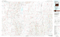
 2011 Fields2011 Print · USGSCovers Fields, including Harney County, United States, and other nearby areas
 - 2017 Map of Fields, 2017 Print
 2017 Fields2017 Print · USGSCovers Fields, including Harney County, United States, and other nearby areas
 - 2020 Map of Fields, 2020 Print
 2020 Fields2020 Print · USGSCovers Fields, including Harney County, United States, and other nearby areas
 - 2024 Map of Fields, 2024 Print
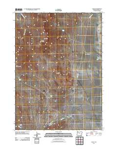
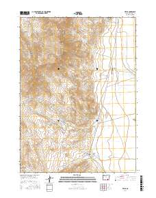
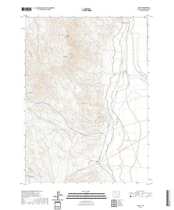 2024 Fields2024 Print · USGSSoutheast Oregon rangeland meets the high peaks of the Steens Mountain Wilderness in this recent topographical study. Genealogists and historians can trace the remote settlement of Fields, the El Rancho Airport, and the path of the Desert Trail.
End of results
Showing maps 1-10 of 10
Frequently asked questions
- What are the different types of historical maps available for Fields?
- What is the oldest map of Fields?
- Where can I purchase historical maps of Fields for my home or office?
- Where can I download high-res historical maps of Fields?
- Are there historical topographic maps available for Fields?
- Is there historical aerial imagery available for Fields?
- Where are historical maps of Fields sourced from?