
1971 Map of Fields
USGS Topo · Published 1974About this map
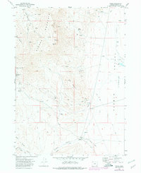
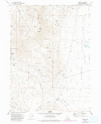
Fields serves as the primary outpost in this remote basin during the early 1970s, situated at the junction of routes leading toward the Nevada border. The geography is dominated by the dramatic rise of the Steens Mountain Peaks to the west, including landmarks such as Alvord Peak and Buckwilder Pass. These highlands overlook the Pueblo Valley, a landscape shaped by arid basins and seasonal water sources like O'Keefe Spring and Pedro Spring.
Find a feature on this map
34 named features on this map. Tap any name to fly to it.
Don’t see what you’re looking for? This feature index may not catch every label — zoom into the map to look around manually.
Map Details
Editions of this 1971 Fields Map
3 editions found
Other maps of this area

1955 · Adel
USGS Topo · 1:250,000

1957 · Adel
USGS Topo · 1:250,000

1958 · Adel
USGS Topo · 1:250,000

1962 · Adel
USGS Topo · 1:250,000

1971 · Fields Basin
USGS Topo · 1:24,000

1971 · Andrews
USGS Topo · 1:24,000

1971 · V Lake
USGS Topo · 1:24,000

1971 · Borax Lake
USGS Topo · 1:24,000
1971 · Skull Creek Butte
USGS Topo · 1:24,000
1981 · Tumtum Lake
USGS Topo · 1:24,000