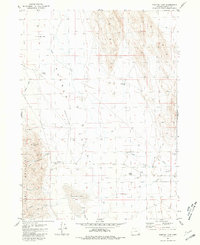
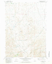
1981 Map of Tumtum Lake
USGS Topo · Published 1981About this map
Pueblo Valley dominates this high desert landscape, characterized by its complex network of seasonal drainages and scattered ranching outposts. Grounded in the late 1970s land use of Harney County, the area shows a clear reliance on water management for livestock, evidenced by numerous wells and the winding course of Trout Creek. Settlement is sparse, represented by locations like Trout Creek Ranch and the Lower Roux Place, while the presence of a Cem and Ruins suggest a longer history of habitation than the modern surface suggests.
Find a feature on this map
24 named features on this map. Tap any name to fly to it.
Don’t see what you’re looking for? This feature index may not catch every label — zoom into the map to look around manually.
Map Details
Editions of this 1981 Tumtum Lake Map
This is the sole edition of this map. No revisions or reprints were ever made.
Other maps of this area

1955 · Adel
USGS Topo · 1:250,000

1957 · Adel
USGS Topo · 1:250,000

1958 · Adel
USGS Topo · 1:250,000

1962 · Adel
USGS Topo · 1:250,000

1971 · Fields
USGS Topo · 1:24,000

1971 · Borax Lake
USGS Topo · 1:24,000
1980 · Windy Point
USGS Topo · 1:24,000
1981 · Colony Ranch
USGS Topo · 1:24,000
1981 · Van Horn Basin
USGS Topo · 1:24,000
1981 · Ladycomb Peak
USGS Topo · 1:24,000