Old Maps of Williams, Oregon for Academic Research
Study the evolution of Williams with 13 high-resolution historic maps. Whether you're teaching, researching, or modeling changes in land use, these maps provide essential visual documentation of urban, environmental, and geographic change.
- Analyze long-term change: Track patterns in development, transportation, and natural features.
- Ideal for environmental or urban studies: Support academic projects with primary historical map data.
- Use in the classroom or lab: Educators and researchers rely on these maps to bring historical context to life.
These maps are a powerful tool for teaching, research, and visualizing how Williams has changed over the decades.
Williams, OR maps
(13)- 1908 Map of Grants Pass
 1908 Grants Pass1908 Print · USGSThe Rogue River valley and Siskiyou Mountains are shown here during a peak era of mineral extraction and rail expansion. Researchers can trace historic claims like the Granite Hill Mine or find early settlements such as Woodville and Wilderville before modern development altered the landscape.5 unique versions available
 - 1954 Map of Oregon Caves, 1956 Print
 1954 Oregon Caves1956 Print · USGSThe Siskiyou Mountains come alive in the mid-1950s, showing a landscape defined by high-altitude mining and the early infrastructure of Oregon Caves National Monument. Genealogists and historians can trace old homesteads and mining sites like Browntown, Watts Cem, and Tiger Springs California Bar.3 unique versions available
 - 1955 Map of Medford, 1964 Print
 1955 Medford1964 Print · USGSSouthern Oregon's valley towns and high peaks are captured here in the mid-1950s, showing the region before the completion of the modern interstate system. Genealogists and historians can trace the development of timber and mining outposts from Wolf Creek to Butte Falls and the early roads to Crater Lake.3 unique versions available
 - 1957 Map of Medford
 1957 Medford1957 Print · USGSSouthern Oregon during the mid-fifties is captured here as a region of growing valley cities and vast timberlands. Genealogists and historians can trace the rail-and-road corridors connecting Medford, Jacksonville, and Grants Pass to more remote locales like Wolf Creek or Butte Falls.
 - 1958 Map of Medford
 1958 Medford1958 Print · USGSSouthern Oregon's Rogue River valley thrived in the 1950s as a crossroads of rail and road. Researchers can trace the legacy of timber and tourism through Southern Pacific RR lines and landmarks like Crater Lake and Oregon Caves National Monument.
 - 1986 Map of Williams
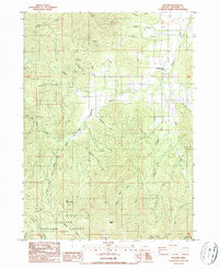 1986 Williams1986 Print · USGSThe northern reaches of the Siskiyou and Rogue River national forests are documented here during the mid-eighties, centered on the community of Williams. Local history researchers can trace the footprint of the Red Rose Mine, find the Jones Marble Quarry, and locate Caves Camp (Site) along the mountain forks.
 - 1989 Map of Grants Pass, 1990 Print
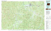 1989 Grants Pass1990 Print · USGSSouthern Oregon's river valleys and mountain ranges are captured here in the late eighties, just as the region’s recreation and transit networks were maturing. Local historians can trace old settlements like Waldo and Holland or follow the Southern Pacific line through Grants Pass.
 - 1996 Map of Williams, 1999 Print
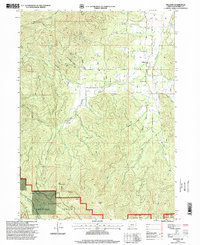 1996 Williams1999 Print · USGSThe Josephine County backcountry comes into focus in the mid-1990s as the community of Williams transitions into the protected forest lands. Genealogists and historians can trace old resource sites like the Red Rose Mine, the Jones Marble Quarry, and the former location of Caves Camp.
 - 2011 Map of Williams, 2011 Print
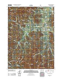 2011 Williams2011 Print · USGSWilliams and the surrounding Josephine County valleys are shown here in the early twenty-first century, revealing a landscape shaped by mining and timber. Researchers can locate the Williams Post Office, family plots like Sparlin Cemetery, and historic sites including Browns Mill and the Red Rose Mine.
 - 2014 Map of Williams, 2014 Print
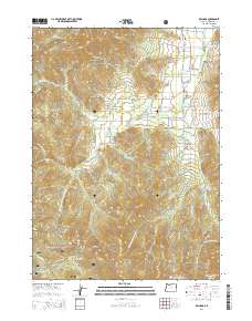 2014 Williams2014 Print · USGSThe community of Williams in Josephine County appears here during a period of modern ranching and forest management. Researchers can locate local burial grounds like Gotcher Cem or trace water rights through Remey Reservoir and Whittier Reservoir.
 - 2017 Map of Williams, 2017 Print
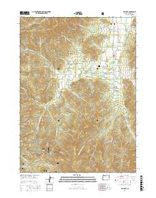 2017 Williams2017 Print · USGSThe Williams Valley in the mid-2010s reveals a complex landscape of small-scale agriculture and timber lands at the edge of the national forest. Genealogists and historians can locate family burial sites at Gotcher Cem and Hartley Cem while tracing the local water history through Katzenbach Reservoir.
 - 2020 Map of Williams, 2020 Print
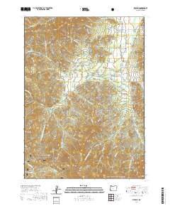 2020 Williams2020 Print · USGSIn the Josephine County valley of the 2020s, the rural community of Williams remains anchored by its local creeks and small-scale reservoirs. Genealogists and hikers can trace family sites like Hartley Cem or explore the high-elevation terrain near Little Sugarloaf Peak and Grayback Glades.
 - 2024 Map of Williams, 2024 Print
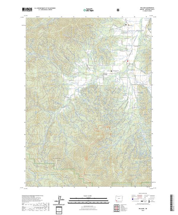 2024 Williams2024 Print · USGSThe rural community of Williams and the surrounding Applegate Valley are captured in this modern survey of Josephine County. Researchers can trace ancestral roots at Hartley Cem and Sparlin Cem or follow the historic logging and access routes into the Siskiyou National Forest.
End of results
Showing maps 1-13 of 13
Top cities near Williams
Frequently asked questions
- What are the different types of historical maps available for Williams?
- What is the oldest map of Williams?
- Where can I purchase historical maps of Williams for my home or office?
- Where can I download high-res historical maps of Williams?
- Are there historical topographic maps available for Williams?
- Is there historical aerial imagery available for Williams?
- Where are historical maps of Williams sourced from?