Old Maps of Crescent, Oregon for Metal Detecting
Plan your next treasure hunt with 14 historic maps of Crescent. Find old homesites, ghost towns, trails, and gathering spots that may be lost to time — perfect for identifying promising metal detecting locations.
- Locate forgotten sites: Uncover places like long-lost settlements, abandoned rail lines, or gathering spots.
- Plan better hunts: Use map overlays combined with LiDAR or satellite views to narrow in on historically rich areas.
- Made for detectorists: Thousands of hobbyists use these maps to discover relics, coins, and hidden history.
Use these historic maps to boost your research and find new opportunities beneath the surface of Crescent.
Crescent, OR maps
(14)- 1935 Map of Chemult
 1935 Chemult1935 Print · USGSUpper Klamath County in the mid-1930s was a landscape defined by industrial logging camps and high-desert rail sidings. Researchers can locate vanished timber operations like Pelican Bay Lumber Co Camp No 2 and remote outposts such as Rosedale and Paunina.5 unique versions available
 - 1941 Map of Chemult
 1941 Chemult1941 Print · USGSUpper Klamath County in the mid-1930s is a landscape of high-altitude timber camps and critical rail junctions. Genealogy researchers can trace remote family holdings and logging outposts like Hoey Ranch, Beaver Marsh, and Lumber Camp 2 along the competing railroad lines.2 unique versions available
 - 1955 Map of Crescent, 1963 Print
 1955 Crescent1963 Print · USGSCentral Oregon in the mid-1950s was a landscape of dense national forests and high desert expanses. Researchers can trace timber-era settlements like Gilchrist and Crescent or locate remote outposts such as Stauffer and Millican near the Wagontire Mountains.3 unique versions available
 - 1957 Map of Crescent
 1957 Crescent1957 Print · USGSCentral Oregon’s high desert and volcanic rim are captured here in the late fifties, showing the region before the modernization of its wilderness corridors. Genealogists and local historians can trace rail-line outposts like Chemult and the early boundaries of the Klamath Indian Reservation.
 - 1958 Map of Crescent
 1958 Crescent1958 Print · USGSCentral Oregon’s volcanic high desert and timber country are captured here in the mid-fifties, from the peaks of the Cascades to the arid basins. Researchers can trace the lines of the Southern Pacific RR, the northern reaches of the Klamath Indian Reservation, and remote outposts like Fort Rock.
 - 1967 Map of Crescent, 1971 Print
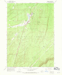 1967 Crescent1971 Print · USGSUpper Klamath County saw a unique intersection of timber and rail in the late sixties. Researchers can trace the industrial footprint of Gilchrist and Crescent, including the Great Northern R. R. and the Cinder Pit.
 - 1970 Map of Crescent, 1973 Print
 1970 Crescent1973 Print · USGSCentral Oregon in the early seventies reveals a landscape of volcanic peaks and timber outposts connected by the Southern Pacific rail line. Researchers can trace the layout of Christmas Valley, locate Cabin Lake Ranger Station, and explore the geological footprint of Newberry Crater.
 - 1979 Map of Crescent, 1994 Print
 1979 Crescent1994 Print · USGSHigh-altitude timber country and volcanic craters define this region of the Oregon interior during the late seventies. Researchers can trace the rail lines of the Southern Pacific and Burlington Northern past Chemult, Crescent, and the unique geological formation at Hole in the Ground.
 - 1999 Map of Crescent, 2002 Print
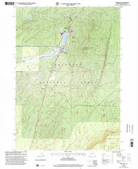 1999 Crescent2002 Print · USGSUpper Klamath County comes into focus in the late nineties as a center for the timber industry and forest recreation. Trace the development of Gilchrist and Crescent along the Little Deschutes River, including local landmarks like the High Sch and Crescent Butte.
 - 2011 Map of Crescent, 2011 Print
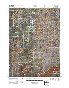 2011 Crescent2011 Print · USGSCovers Crescent, including Gilchrist, Klamath County, and other nearby areas
 - 2014 Map of Crescent, 2014 Print
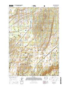 2014 Crescent2014 Print · USGSCovers Crescent, including Gilchrist, Klamath County, and other nearby areas
 - 2017 Map of Crescent, 2017 Print
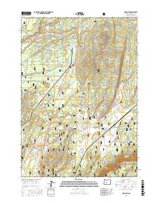 2017 Crescent2017 Print · USGSCovers Crescent, including Gilchrist, Klamath County, and other nearby areas
 - 2020 Map of Crescent, 2020 Print
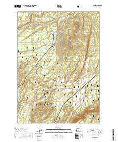 2020 Crescent2020 Print · USGSCovers Crescent, including Gilchrist, Klamath County, and other nearby areas
 - 2023 Map of Crescent, 2023 Print
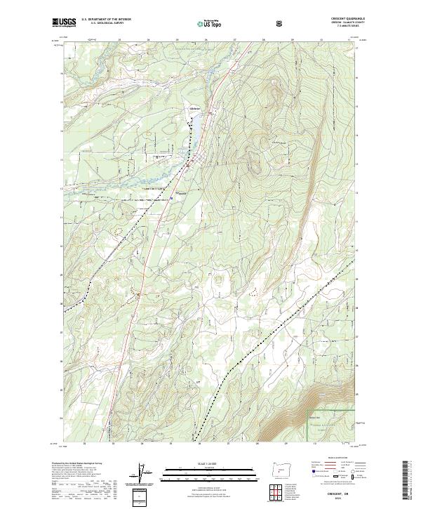 2023 Crescent2023 Print · USGSCrescent and Gilchrist appear as twin anchors of the timber country along the Little Deschutes River in the early twenty-first century. Researchers can trace forest access routes like Gilchrist Haul Rd and locate landmarks from Walker Rim to Odell Pasture.
End of results
Showing maps 1-14 of 14
Frequently asked questions
- What are the different types of historical maps available for Crescent?
- What is the oldest map of Crescent?
- Where can I purchase historical maps of Crescent for my home or office?
- Where can I download high-res historical maps of Crescent?
- Are there historical topographic maps available for Crescent?
- Is there historical aerial imagery available for Crescent?
- Where are historical maps of Crescent sourced from?