2000s (21st Century) Maps of Klamath Falls, Oregon
Explore 15 historic maps of Klamath Falls from the 2000s (21st Century). These maps offer a rare glimpse into what life looked like during the 2000s — showing old roads, neighborhoods, homes, and landmarks that have changed or disappeared over time.
Whether you're researching your family's past, planning a metal detecting trip, or studying how Klamath Falls's landscape evolved across the 2000s, these high-resolution maps are a powerful tool for exploring the history of this region.
- Focus on a specific era: All maps on this page are from the 2000s, giving you a focused view of this time period.
- See what’s changed: Compare century-old streets, trails, and buildings to today's modern landscape using overlays and satellite layers.
- Research with precision: Use these maps for genealogy, historical research, land use analysis, or educational projects.
- View, download, or print: Maps are fully viewable online in high resolution, and can be downloaded or printed for your own records.
Start exploring Klamath Falls's history through authentic maps from the 2000s. This is your window into the past.
Klamath Falls, OR maps
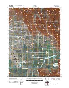
(15)- 2011 Map of Klamath Falls, 2011 Print
 2011 Klamath Falls2011 Print · USGSCovers Klamath Falls, including Stewart Lenox, Midland, and other nearby areas
 - 2011 Map of Wocus, 2011 Print
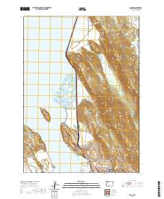
 2011 Wocus2011 Print · USGSCovers Klamath Falls, including Algoma, Shady Pine, and other nearby areas
 - 2011 Map of Altamont, 2011 Print
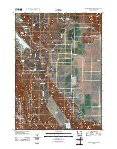
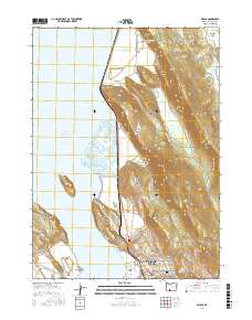
 2011 Altamont2011 Print · USGSCovers Klamath Falls, including Altamont, Olene, and other nearby areas
 - 2011 Map of Whiteline Reservoir, 2011 Print
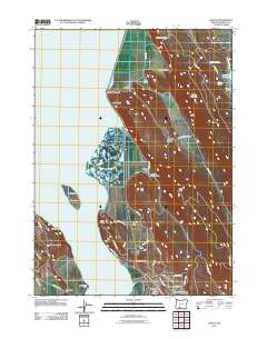
 2011 Whiteline Reservoir2011 Print · USGSCovers Klamath Falls, including Klamath County, United States, and other nearby areas
 - 2014 Map of Altamont, 2014 Print
 2014 Altamont2014 Print · USGSCovers Klamath Falls, including Altamont, Olene, and other nearby areas
 - 2014 Map of Wocus, 2014 Print
 2014 Wocus2014 Print · USGSCovers Klamath Falls, including Algoma, Shady Pine, and other nearby areas
 - 2017 Map of Whiteline Reservoir, 2017 Print
 2017 Whiteline Reservoir2017 Print · USGSCovers Klamath Falls, including Klamath County, United States, and other nearby areas
 - 2017 Map of Altamont, 2017 Print
 2017 Altamont2017 Print · USGSCovers Klamath Falls, including Altamont, Olene, and other nearby areas
 - 2017 Map of Wocus, 2017 Print
 2017 Wocus2017 Print · USGSCovers Klamath Falls, including Algoma, Shady Pine, and other nearby areas
 - 2020 Map of Wocus, 2020 Print
 2020 Wocus2020 Print · USGSCovers Klamath Falls, including Algoma, Shady Pine, and other nearby areas
 - 2020 Map of Klamath Falls, 2020 Print
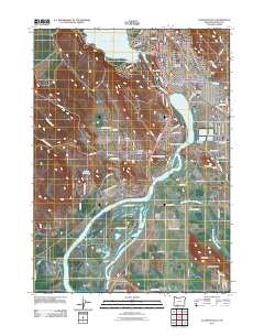
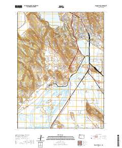 2020 Klamath Falls2020 Print · USGSCovers Klamath Falls, including Stewart Lenox, Midland, and other nearby areas
 - 2024 Map of Klamath Falls, 2024 Print
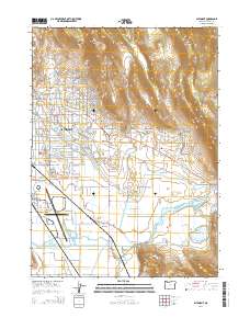
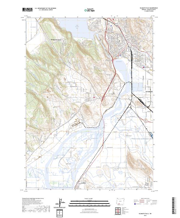 2024 Klamath Falls2024 Print · USGSKlamath Falls and the surrounding basin are shown in extensive detail as they appear today, featuring the complex interplay of irrigation and conservation. Genealogists can locate family sites near Linkville Cem or trace the development of Altamont and the Kingsley Field Cantonement Site 1.
 - 2024 Map of Altamont, 2024 Print
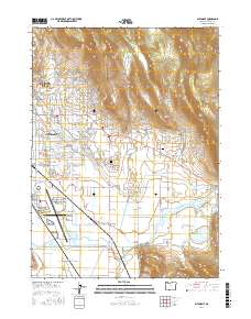
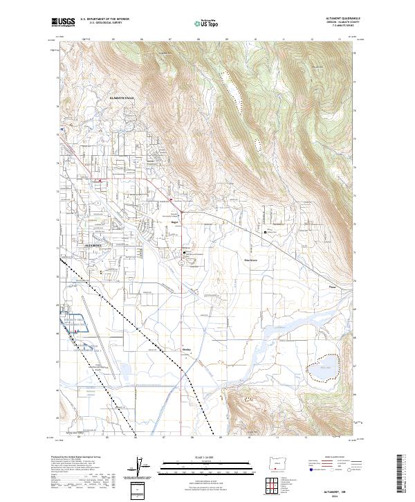 2024 Altamont2024 Print · USGSThe outskirts of Klamath Falls meet the High Desert in the early 2020s, showing a landscape defined by complex irrigation and aviation infrastructure. Researchers can trace the Lost River and its many man-made diversions near Kingsley Field and Hager.
 - 2024 Map of Wocus, 2024 Print
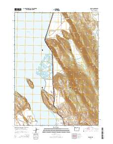
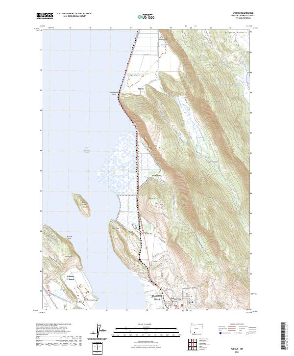 2024 Wocus2024 Print · USGSKlamath Falls and the Upper Klamath Lake shoreline are captured in this modern map of southern Oregon. Researchers can trace the layout of the Oregon Institute of Technology, the historic Algoma Incline, and settlements like Pelican City.
 - 2024 Map of Whiteline Reservoir, 2024 Print
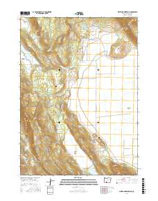
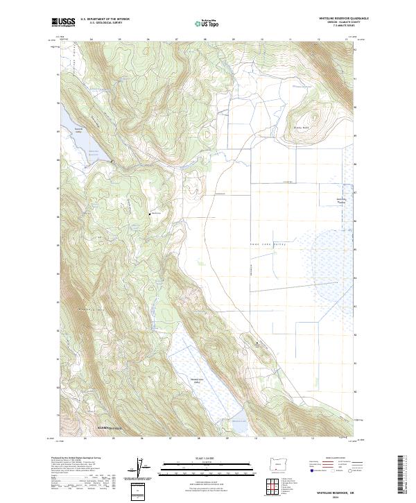 2024 Whiteline Reservoir2024 Print · USGSThe high desert and alpine valleys northeast of Klamath Falls are captured here in the mid-2020s, showing a land of reservoirs and cattle ranges. Genealogists and local historians can locate remote burial sites at Gabriel Cem and Hibbert Cem or trace old routes like Swan Lake Rd.
End of results
Showing maps 1-15 of 15
Top cities near Klamath Falls
Top neighborhoods of Klamath Falls
Frequently asked questions
- What are the different types of historical maps available for Klamath Falls?
- What is the oldest map of Klamath Falls?
- Where can I purchase historical maps of Klamath Falls for my home or office?
- Where can I download high-res historical maps of Klamath Falls?
- Are there historical topographic maps available for Klamath Falls?
- Is there historical aerial imagery available for Klamath Falls?
- Where are historical maps of Klamath Falls sourced from?