Old Maps of Mohawk, Oregon for Genealogy
Trace your family roots with 14 historic maps of Mohawk. These high-res maps reveal old neighborhoods, homesites, landmarks, and streets — helping you uncover where your ancestors lived and how the area evolved over time.
- Explore historic neighborhoods: Identify where your relatives may have lived in the 1800s or 1900s.
- Compare maps over time: Trace the changes in streets, buildings, and landmarks for multi-generational research.
- Perfect for genealogy & ancestry research: Used by family historians and researchers to map out lineage and migration.
These maps are an incredible resource for exploring your personal connection to Mohawk's past.
Mohawk, OR maps
(14)- 1950 Map of Marcola, 1955 Print
 1950 Marcola1955 Print · USGSLane County in the early fifties shows a transition from timber-town economies to suburban growth near the McKenzie River. Researchers can locate family landmarks like the Camp Creek Cemetery, the Mohawk PO, and the rails of the Southern Pacific.2 unique versions available
 - 1952 Map of Marcola
 1952 Marcola1952 Print · USGSThe Mohawk River valley and McKenzie River corridor are captured here in the early fifties, showing the logging and rail infrastructure of eastern Lane County. Trace the SOUTHERN PACIFIC line through Wendling or locate family sites like Yarnell Church and Mt Vernon Cem.
 - 1953 Map of Salem
 1953 Salem1953 Print · USGSMid-century Oregon comes to life through this detailed survey of the Willamette Valley and the adjacent Pacific coastline. Researchers can trace the rail lines of the Southern Pacific RR, visit rural hubs like Fairview School, or locate coastal landmarks like the Yaquina Head Lighthouse.
 - 1954 Map of Salem
 1954 Salem1954 Print · USGSMid-century Western Oregon is centered on the productive Willamette River valley as its cities and infrastructure expand toward the mountains. Genealogists and historians can trace the rail lines of the Southern Pacific RR and Oregon Electric Ry through towns like Dallas, Independence, and Brownsville.
 - 1960 Map of Salem, 1968 Print
 1960 Salem1968 Print · USGSThe Willamette Valley and the surrounding mountain ranges are shown here in the 1960s during a period of significant reservoir construction. Genealogists and historians can trace rail lines like the Oregon Electric and find communities from Lincoln City on the coast to Sweet Home and Mill City in the foothills.2 unique versions available
 - 1962 Map of Salem
 1962 Salem1962 Print · USGSThe Willamette Valley and the surrounding Oregon ranges are captured here in the early sixties, showing the vital growth of the state's primary agricultural and academic corridor. Researchers can trace the mid-century footprints of Oregon State University and the University of Oregon, alongside rural landmarks like Camp Adair and Black Butte Mine.
 - 1963 Map of Salem
 1963 Salem1963 Print · USGSMid-century Oregon comes into focus as the Willamette Valley’s timber and agricultural industries meet the growing campuses of Oregon State University and the University of Oregon. Researchers can trace old rail lines like the Oregon Electric Railway and locate family plots at Siletz Cem or Dallas Cem.
 - 1983 Map of Mc Kenzie River, 1984 Print
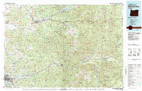 1983 Mc Kenzie River1984 Print · USGSLinn and Lane Counties are shown in the early 1980s as a hub of hydroelectric power and timber production. Researchers can trace the development of river-valley towns like Sweet Home and Marcola or locate recreation sites at Foster Lake and Cougar Reservoir.
 - 1988 Map of Mohawk
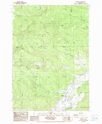 1988 Mohawk1988 Print · USGSThe Mohawk Valley and the steep Coburg Hills are captured here in the late eighties, showing a landscape of timbered ridges and river bottomland. Researchers can trace the path of the Mohawk River and locate local landmarks like the Rifle Range, Warner Lake, and several upland quarries.
 - 2011 Map of Mohawk, 2011 Print
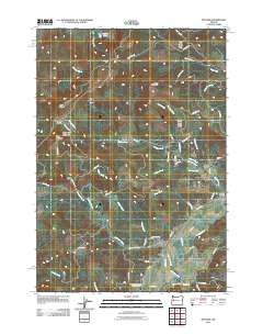 2011 Mohawk2011 Print · USGSThe Mohawk River valley and the steep slopes of the Coburg Hills are documented here in the early twenty-first century. Genealogists and local historians can locate the Mohawk Community Church Cemetery and Marcola Cemetery, or trace old timber routes like Boiler Creek Rd.
 - 2014 Map of Mohawk, 2014 Print
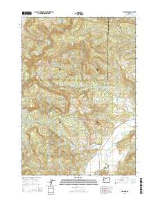 2014 Mohawk2014 Print · USGSThe Mohawk Valley in the mid-2010s reveals a landscape of timbered peaks and river-bottom settlements along the border of Linn and Lane counties. Researchers can locate family landmarks such as the Mohawk Community Church Cem and trace the paths of McGowan Cr and Parsons Cr.
 - 2017 Map of Mohawk, 2017 Print
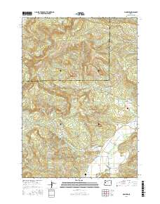 2017 Mohawk2017 Print · USGSThe Mohawk Valley in Lane County is captured here during the late 2010s, showing the settlement and its surrounding timberlands. Local researchers can trace family sites near Mohawk Cem, Mohawk Community Church, and along the winding Mohawk River.
 - 2020 Map of Mohawk, 2020 Print
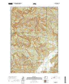 2020 Mohawk2020 Print · USGSThe Mohawk Valley in Lane County is shown here in the contemporary era as it transitions from river bottomlands to the timbered Cascades foothills. Researchers can locate the Mohawk Community Church Cem and trace old routes through the Coburg Hills and along the Mohawk River.
 - 2023 Map of Mohawk, 2023 Print
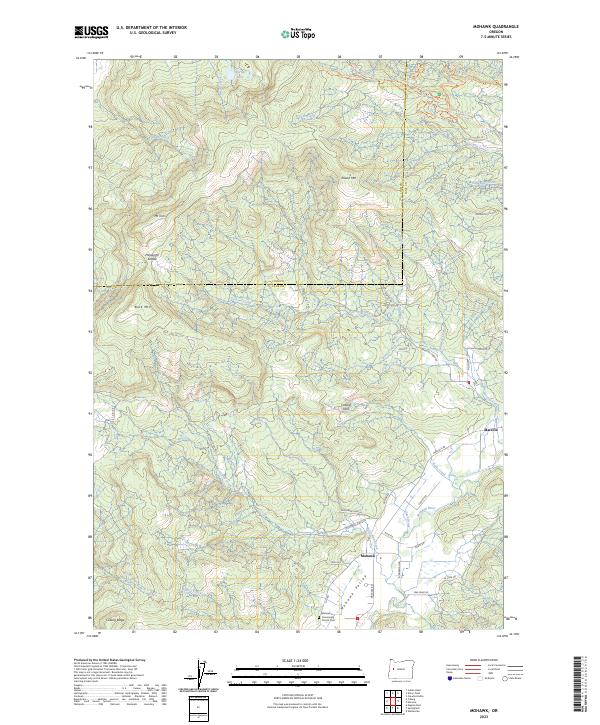 2023 Mohawk2023 Print · USGSThe Mohawk Valley at the start of the 2020s remains a landscape of river-bottom settlements and upland forests. Genealogists and historians can trace the community around Marcola, the Mohawk River, and the Mohawk Community Church Cem.
End of results
Showing maps 1-14 of 14
Top cities near Mohawk
- Eugene historical maps
- Springfield historical maps
- Creswell historical maps
- Coburg historical maps
- Lowell historical maps
Frequently asked questions
- What are the different types of historical maps available for Mohawk?
- What is the oldest map of Mohawk?
- Where can I purchase historical maps of Mohawk for my home or office?
- Where can I download high-res historical maps of Mohawk?
- Are there historical topographic maps available for Mohawk?
- Is there historical aerial imagery available for Mohawk?
- Where are historical maps of Mohawk sourced from?