Old Maps of Searose Beach, Oregon for Genealogy
Trace your family roots with 15 historic maps of Searose Beach. These high-res maps reveal old neighborhoods, homesites, landmarks, and streets — helping you uncover where your ancestors lived and how the area evolved over time.
- Explore historic neighborhoods: Identify where your relatives may have lived in the 1800s or 1900s.
- Compare maps over time: Trace the changes in streets, buildings, and landmarks for multi-generational research.
- Perfect for genealogy & ancestry research: Used by family historians and researchers to map out lineage and migration.
These maps are an incredible resource for exploring your personal connection to Searose Beach's past.
Searose Beach, OR maps
(15)- 1920 Map of Heceta Head
 1920 Heceta Head1920 Print · USGSThe Oregon coast at the end of the First World War shows a rugged landscape of isolated schoolhouses and coastal outposts. Genealogists and historians can locate early landmarks like the Coast Guard Station, Mercer School, and the historic trail at The Portage.4 unique versions available
 - 1942 Map of Heceta Head
 1942 Heceta Head1942 Print · USGSThe Oregon coast in the early 1940s reveals a landscape of isolated forest farms and vital maritime outposts. Researchers can locate long-standing rural landmarks like Big Creek Sch, the Coast Guard Station, and Clover Ridge Farm.2 unique versions available
 - 1953 Map of Salem
 1953 Salem1953 Print · USGSMid-century Oregon comes to life through this detailed survey of the Willamette Valley and the adjacent Pacific coastline. Researchers can trace the rail lines of the Southern Pacific RR, visit rural hubs like Fairview School, or locate coastal landmarks like the Yaquina Head Lighthouse.
 - 1954 Map of Salem
 1954 Salem1954 Print · USGSMid-century Western Oregon is centered on the productive Willamette River valley as its cities and infrastructure expand toward the mountains. Genealogists and historians can trace the rail lines of the Southern Pacific RR and Oregon Electric Ry through towns like Dallas, Independence, and Brownsville.
 - 1956 Map of Heceta Head, 1958 Print
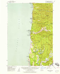 1956 Heceta Head1958 Print · USGSThe Lane County coast during the mid-fifties shows a rugged intersection of timberlands and Pacific shoreline. Researchers can trace the development of the Oregon Coast Highway past the Heceta Head Lighthouse, the Sea Lion Caves, and the small settlement at Heceta Junction.3 unique versions available
 - 1960 Map of Salem, 1968 Print
 1960 Salem1968 Print · USGSThe Willamette Valley and the surrounding mountain ranges are shown here in the 1960s during a period of significant reservoir construction. Genealogists and historians can trace rail lines like the Oregon Electric and find communities from Lincoln City on the coast to Sweet Home and Mill City in the foothills.2 unique versions available
 - 1962 Map of Salem
 1962 Salem1962 Print · USGSThe Willamette Valley and the surrounding Oregon ranges are captured here in the early sixties, showing the vital growth of the state's primary agricultural and academic corridor. Researchers can trace the mid-century footprints of Oregon State University and the University of Oregon, alongside rural landmarks like Camp Adair and Black Butte Mine.
 - 1963 Map of Salem
 1963 Salem1963 Print · USGSMid-century Oregon comes into focus as the Willamette Valley’s timber and agricultural industries meet the growing campuses of Oregon State University and the University of Oregon. Researchers can trace old rail lines like the Oregon Electric Railway and locate family plots at Siletz Cem or Dallas Cem.
 - 1980 Map of Waldport
 1980 Waldport1980 Print · USGSCoastal Oregon at the start of the 1980s reveals a landscape of rugged headlands and timbered ridges between Waldport and the Siuslaw River. Researchers can trace old beach communities and landmarks like the US Coast Guard Res Lighthouse at Heceta Head and Cape Perpetua.2 unique versions available
 - 1984 Map of Heceta Head
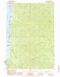 1984 Heceta Head1984 Print · USGSThe Oregon coast at the mid-eighties was a landscape of protected wilderness and maritime history, where the Oregon Coast Highway linked isolated seaside settlements. Researchers can locate the iconic Heceta Head Light House, the quiet 2 Grave Sites, and the industrial remains of the North Fork Quarry (Aban).2 unique versions available
 - 2011 Map of Heceta Head, 2011 Print
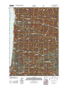 2011 Heceta Head2011 Print · USGSThe Oregon coast in Lane County is shown here in the early twenty-first century, as the landscape rises sharply from the sea into the Coast Range. Local historians can trace coastal features like Heceta Head and Searose Beach alongside interior landmarks like North Fork Quarry and Fairview Mountain.
 - 2014 Map of Heceta Head, 2014 Print
 2014 Heceta Head2014 Print · USGSAlong the Pacific coast in the early twenty-first century, this map shows the intersection of the maritime shoreline and the deep woods. Trace the highway as it passes Searose Beach or find landmarks like Cape Creek Tunnel 3961 and Fairview Mtn.
 - 2017 Map of Heceta Head, 2017 Print
 2017 Heceta Head2017 Print · USGSThe Oregon coast at Searose Beach is captured in this survey of its protected wilderness and steep timberlands. Researchers can locate the Stonefield Beach Burials and trace the passage of the coastal highway through Cape Creek Tunnel 3961 near the prominent Heceta Head.
 - 2020 Map of Heceta Head, 2020 Print
 2020 Heceta Head2020 Print · USGSThe Oregon coast at the start of the 2020s shows a landscape of steep ridges and secluded shorelines where the forest meets the sea. Genealogists and researchers can locate the Stonefield Beach Burials and the small coastal settlement of Searose Beach.
 - 2024 Map of Heceta Head, 2024 Print
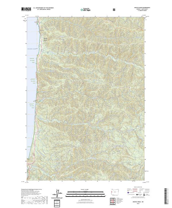 2024 Heceta Head2024 Print · USGSThe Lane County coast near the Heceta Head vicinity appears here as a preserved wilderness landscape during the early 2020s. Researchers can trace the coastal corridor from Searose Beach down the Oregon Coast Highway, passing through the Rock Creek Wilderness and Siuslaw National Forest.
End of results
Showing maps 1-15 of 15
Top cities near Searose Beach
Frequently asked questions
- What are the different types of historical maps available for Searose Beach?
- What is the oldest map of Searose Beach?
- Where can I purchase historical maps of Searose Beach for my home or office?
- Where can I download high-res historical maps of Searose Beach?
- Are there historical topographic maps available for Searose Beach?
- Is there historical aerial imagery available for Searose Beach?
- Where are historical maps of Searose Beach sourced from?