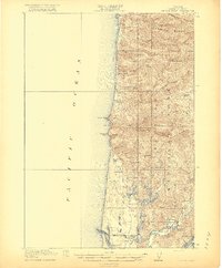
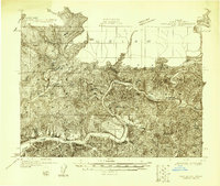
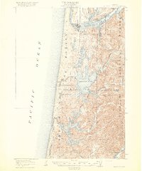
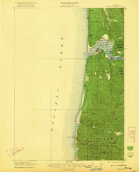
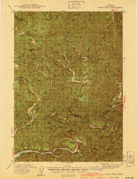
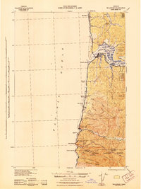
1920 Map of Heceta Head
USGS Topo · Published 1920About this map
Heceta Head and its prominent coastal landmarks define this 1920 survey of the Oregon shoreline. The landscape transitions from the steep, forested slopes of the Siuslaw National Forest to a complex network of coastal freshwater lakes and dunes. Notable local infrastructure includes the Coast Guard Station near the southern boundary and several rural schoolhouses such as Big Creek School and Mercer School that served early 20th-century families.
Find a feature on this map
44 named features on this map. Tap any name to fly to it.
Don’t see what you’re looking for? This feature index may not catch every label — zoom into the map to look around manually.
Map Details
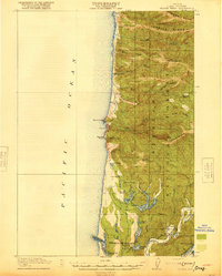
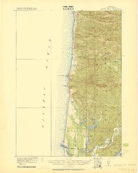
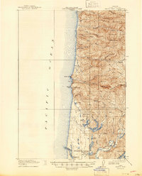
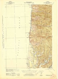
Editions of this 1920 Heceta Head Map
4 editions found
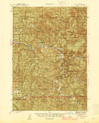
Other maps of this area
1918 · Mapleton
USGS Topo · 1:48,000

1919 · Earl
USGS Topo · 1:48,000
1920 · Siltcoos Lake
USGS Topo · 1:62,500
1922 · Waldport
USGS Topo · 1:62,500
1940 · Mapleton
USGS Topo · 1:62,500

1941 · Siltcoos Lake
USGS Topo · 1:62,500
1942 · Waldport
USGS Topo · 1:62,500
1942 · Heceta Head
USGS Topo · 1:62,500

1942 · Siltcoos Lake
USGS Topo · 1:62,500
1942 · Tidewater
USGS Topo · 1:62,500