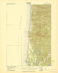
1920 Map of Heceta Head
USGS Topo · Published 1920About this map
The rugged coastline of Lane County is meticulously documented in this 1918 military survey, revealing a landscape defined by dramatic headlands and a complex network of coastal lakes. Heceta Head serves as a prominent maritime landmark, situated just north of the Coast Guard Station and Cape Cove. The interior is characterized by the dense timberlands of the Siuslaw National Forest, where steep ridges like Cummins Ridge and Clover Ridge tower over isolated creek valleys.
Find a feature on this map
52 named features on this map. Tap any name to fly to it.
Don’t see what you’re looking for? This feature index may not catch every label — zoom into the map to look around manually.
Map Details
Editions of this 1920 Heceta Head Map
4 editions found
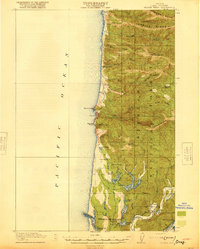
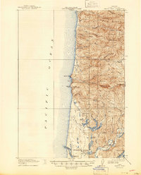
Other maps of this area

1918 · Mapleton
USGS Topo · 1:48,000

1919 · Earl
USGS Topo · 1:48,000

1920 · Siltcoos Lake
USGS Topo · 1:62,500

1920 · Heceta Head
USGS Topo · 1:62,500

1922 · Waldport
USGS Topo · 1:62,500

1940 · Mapleton
USGS Topo · 1:62,500

1941 · Siltcoos Lake
USGS Topo · 1:62,500

1942 · Waldport
USGS Topo · 1:62,500

1942 · Heceta Head
USGS Topo · 1:62,500

1942 · Siltcoos Lake
USGS Topo · 1:62,500