2000s (21st Century) Maps of Ontario, Oregon
Explore 10 historic maps of Ontario from the 2000s (21st Century). These maps offer a rare glimpse into what life looked like during the 2000s — showing old roads, neighborhoods, homes, and landmarks that have changed or disappeared over time.
Whether you're researching your family's past, planning a metal detecting trip, or studying how Ontario's landscape evolved across the 2000s, these high-resolution maps are a powerful tool for exploring the history of this region.
- Focus on a specific era: All maps on this page are from the 2000s, giving you a focused view of this time period.
- See what’s changed: Compare century-old streets, trails, and buildings to today's modern landscape using overlays and satellite layers.
- Research with precision: Use these maps for genealogy, historical research, land use analysis, or educational projects.
- View, download, or print: Maps are fully viewable online in high resolution, and can be downloaded or printed for your own records.
Start exploring Ontario's history through authentic maps from the 2000s. This is your window into the past.
Ontario, OR maps
(10)- 2011 Map of Payette, 2011 Print
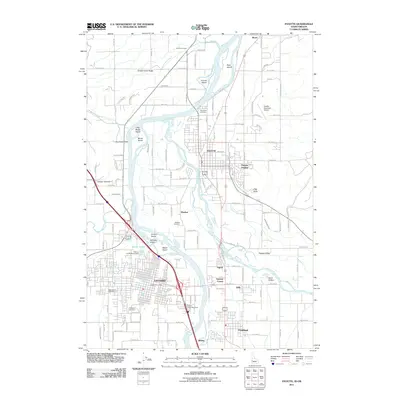 2011 Payette2011 Print · USGSCovers Ontario, including Payette, Fruitland, and other nearby areas
 - 2011 Map of Malheur Butte, 2011 Print
 2011 Malheur Butte2011 Print · USGSCovers Ontario, including Ontario Heights, Malheur County, and other nearby areas
 - 2013 Map of Payette, 2013 Print
 2013 Payette2013 Print · USGSCovers Ontario, including Payette, Fruitland, and other nearby areas
 - 2014 Map of Malheur Butte, 2014 Print
 2014 Malheur Butte2014 Print · USGSCovers Ontario, including Ontario Heights, Malheur County, and other nearby areas
 - 2017 Map of Malheur Butte, 2017 Print
 2017 Malheur Butte2017 Print · USGSCovers Ontario, including Ontario Heights, Malheur County, and other nearby areas
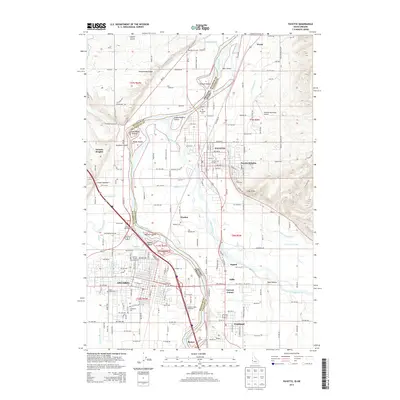
 - 2017 Map of Payette, 2017 Print
 2017 Payette2017 Print · USGSCovers Ontario, including Payette, Fruitland, and other nearby areas
 - 2020 Map of Malheur Butte, 2020 Print
 2020 Malheur Butte2020 Print · USGSCovers Ontario, including Ontario Heights, Malheur County, and other nearby areas
 - 2020 Map of Payette, 2020 Print
 2020 Payette2020 Print · USGSCovers Ontario, including Payette, Fruitland, and other nearby areas
 - 2023 Map of Malheur Butte, 2023 Print
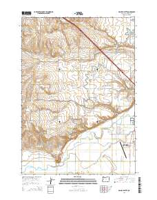
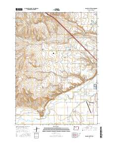
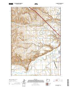
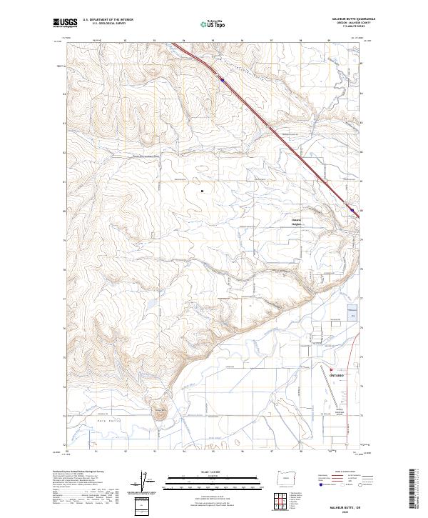 2023 Malheur Butte2023 Print · USGSThe western edge of Ontario and the rising profile of Malheur Butte characterize this contemporary look at Malheur County's high-desert landscape. Local historians can trace water engineering through the Owyhee Canal and Malheur Siphon alongside the Malheur River.
 - 2024 Map of Payette, 2024 Print
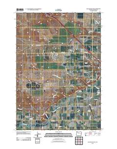
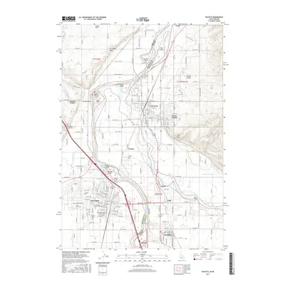
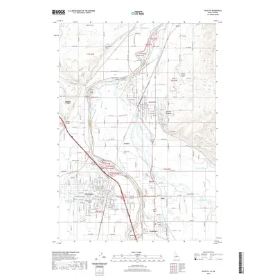
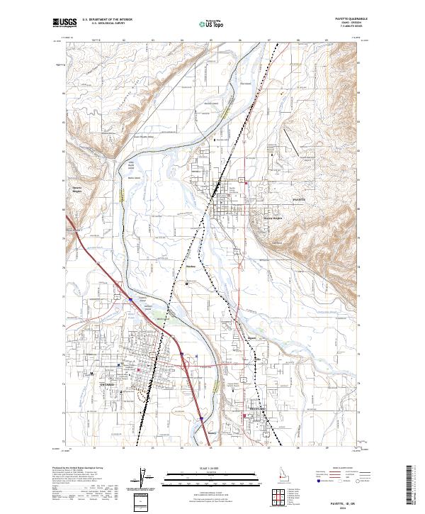 2024 Payette2024 Print · USGSThe interstate border along the Snake River comes alive in the mid-2020s, showing the agricultural and civic growth of Payette and Ontario. Researchers can trace local history through sites like the Payette County Courthouse, Washoe Cem, and the Owyhee Canal.
End of results
Showing maps 1-10 of 10
Top cities near Ontario
- Payette historical maps
- Fruitland historical maps
- Weiser historical maps
- Nyssa historical maps
- New Plymouth historical maps
Frequently asked questions
- What are the different types of historical maps available for Ontario?
- What is the oldest map of Ontario?
- Where can I purchase historical maps of Ontario for my home or office?
- Where can I download high-res historical maps of Ontario?
- Are there historical topographic maps available for Ontario?
- Is there historical aerial imagery available for Ontario?
- Where are historical maps of Ontario sourced from?