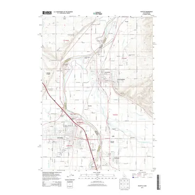
2013 Map of Payette
USGS Topo · Published 2013About this map
Ontario and Payette stand as dual anchors on either side of the Snake River, marking a busy interstate corridor where the Malheur River joins from the west. This 2013 survey details the complex hydraulic landscape of the Lower Payette Valley, crisscrossed by irrigation infrastructure like the Dead Ox Canal, Washoe Ditch, and Lower Payette Ditch. These waterways support the agricultural character of the region, from the 4 D J Farm in the north down to Fruitland and Ramey in the south.
Find a feature on this map
184 named features on this map. Tap any name to fly to it.
Don’t see what you’re looking for? This feature index may not catch every label — zoom into the map to look around manually.
Map Details
Editions of this 2013 Payette Map
This is the sole edition of this map. No revisions or reprints were ever made.
Other maps of this area

1897 · Weiser
USGS Topo · 1:125,000

1898 · Nampa
USGS Topo · 1:125,000

1906 · Mitchell Butte
USGS Topo · 1:125,000

1951 · Moores Hollow
USGS Topo · 1:24,000

1951 · Malheur Butte
USGS Topo · 1:24,000

1951 · Moores Hollow
USGS Topo · 1:62,500

1951 · Payette
USGS Topo · 1:24,000

1951 · Weiser South
USGS Topo · 1:24,000

1952 · Weiser Cove
USGS Topo · 1:24,000

1952 · Birding Island
USGS Topo · 1:24,000