2000s (21st Century) Maps of Keizer, Oregon
Explore 11 historic maps of Keizer from the 2000s (21st Century). These maps offer a rare glimpse into what life looked like during the 2000s — showing old roads, neighborhoods, homes, and landmarks that have changed or disappeared over time.
Whether you're researching your family's past, planning a metal detecting trip, or studying how Keizer's landscape evolved across the 2000s, these high-resolution maps are a powerful tool for exploring the history of this region.
- Focus on a specific era: All maps on this page are from the 2000s, giving you a focused view of this time period.
- See what’s changed: Compare century-old streets, trails, and buildings to today's modern landscape using overlays and satellite layers.
- Research with precision: Use these maps for genealogy, historical research, land use analysis, or educational projects.
- View, download, or print: Maps are fully viewable online in high resolution, and can be downloaded or printed for your own records.
Start exploring Keizer's history through authentic maps from the 2000s. This is your window into the past.
Keizer, OR maps
(11)- 2011 Map of Gervais, 2011 Print
 2011 Gervais2011 Print · USGSCovers Keizer, including Salem, Gervais, and other nearby areas
 - 2011 Map of Mission Bottom, 2011 Print
 2011 Mission Bottom2011 Print · USGSCovers Keizer, including Salem, Hopewell, and other nearby areas
 - 2011 Map of Salem West, 2011 Print
 2011 Salem West2011 Print · USGSCovers Keizer, including Salem, Eola, and other nearby areas
 - 2014 Map of Gervais, 2014 Print
 2014 Gervais2014 Print · USGSCovers Keizer, including Salem, Gervais, and other nearby areas
 - 2014 Map of Salem West, 2014 Print
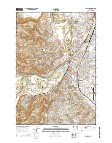 2014 Salem West2014 Print · USGSCovers Keizer, including Salem, Eola, and other nearby areas
 - 2017 Map of Mission Bottom, 2017 Print
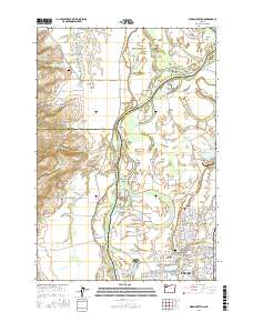 2017 Mission Bottom2017 Print · USGSCovers Keizer, including Salem, Hopewell, and other nearby areas
 - 2020 Map of Salem West, 2020 Print
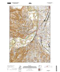 2020 Salem West2020 Print · USGSCovers Keizer, including Salem, Eola, and other nearby areas
 - 2023 Map of Salem West, 2023 Print
 2023 Salem West2023 Print · USGSCovers Keizer, including Salem, Eola, and other nearby areas
 - 2024 Map of Gervais, 2024 Print
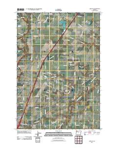
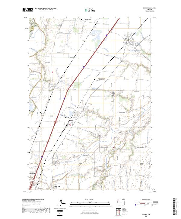 2024 Gervais2024 Print · USGSThe fertile reaches of the Willamette Valley are captured in this recent survey of northern Marion County as it appeared in the early 2020s. Researchers can locate historic burial sites like the Gervais Masonic Pioneer Cem and trace the drainage of Lake Labish through the surrounding prairies.
 - 2024 Map of Salem West, 2024 Print
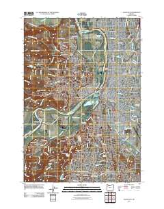
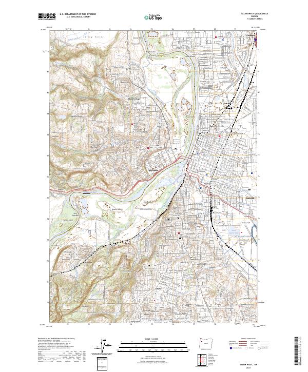
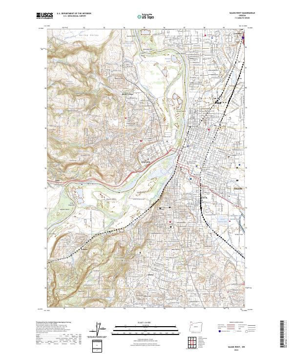 2024 Salem West2024 Print · USGSSalem and its western riverbanks are documented here during a period of modern growth and civic stability. Researchers can trace the layout of Willamette University or locate family plots in Pioneer Cem and Lee Mission Cem.
 - 2024 Map of Mission Bottom, 2024 Print
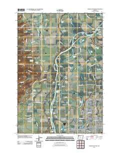
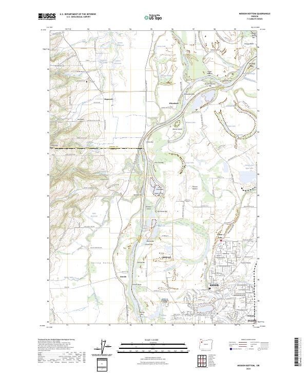 2024 Mission Bottom2024 Print · USGSThe Willamette River forms a winding border through this agricultural landscape in the 2020s. Researchers can trace rural cemeteries like Hopewell Cem and named river features from Snaggy Bend to French Prairie.
End of results
Showing maps 1-11 of 11
Top cities near Keizer
- Salem historical maps
- McMinnville historical maps
- Woodburn historical maps
- Monmouth historical maps
- Silverton historical maps
- Independence historical maps
See more
Top neighborhoods of Keizer
Frequently asked questions
- What are the different types of historical maps available for Keizer?
- What is the oldest map of Keizer?
- Where can I purchase historical maps of Keizer for my home or office?
- Where can I download high-res historical maps of Keizer?
- Are there historical topographic maps available for Keizer?
- Is there historical aerial imagery available for Keizer?
- Where are historical maps of Keizer sourced from?