2020s Maps of Portland, Oregon
Explore 20 historic maps of Portland from the 2020s. These maps offer a rare glimpse into what life looked like during the 2020s — showing old roads, neighborhoods, homes, and landmarks that have changed or disappeared over time.
Whether you're researching your family's past, planning a metal detecting trip, or studying how Portland's landscape evolved across the 2020s, these high-resolution maps are a powerful tool for exploring the history of this region.
- Focus on a specific era: All maps on this page are from the 2020s, giving you a focused view of this time period.
- See what’s changed: Compare century-old streets, trails, and buildings to today's modern landscape using overlays and satellite layers.
- Research with precision: Use these maps for genealogy, historical research, land use analysis, or educational projects.
- View, download, or print: Maps are fully viewable online in high resolution, and can be downloaded or printed for your own records.
Start exploring Portland's history through authentic maps from the 2020s. This is your window into the past.
Portland, OR maps
(20)- 2020 Map of Vancouver, 2020 Print
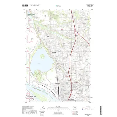 2020 Vancouver2020 Print · USGSVancouver and the Columbia River riverfront are shown here during a period of significant suburban and academic expansion. Researchers can find deep history at the Fort Vancouver National Historic Site and trace family roots through sites like Salmon Creek Cem or Mother Joseph Catholic Cem.
- 2020 Map of Gladstone, 2020 Print
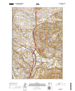 2020 Gladstone2020 Print · USGSGreater Portland and the Clackamas River valley are captured in this recent survey during a period of significant suburban expansion. Genealogists and local historians can trace the borders of Johnson City, Battin, and the historic Cristilla Pioneer Cem.
- 2020 Map of Lake Oswego, 2020 Print
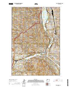 2020 Lake Oswego2020 Print · USGSThe southern suburbs of Portland are captured in the early 2020s, showing the dense residential growth surrounding the Willamette River. Researchers can trace institutional footprints from Reed College to Marylhurst University or locate family plots in Riverview Cem and Milwaukie Pioneer Cem.
- 2020 Map of Portland, 2020 Print
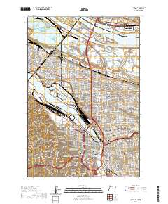 2020 Portland2020 Print · USGSPortland and Vancouver are shown during a period of modern urban density, highlighting the vital bridges and riverfront industry of the Willamette. Researchers can trace historic neighborhood boundaries from Saint Johns to Laurelhurst or locate ancestors at Lone Fir Cem.
- 2020 Map of Beaverton, 2020 Print
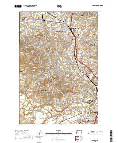 2020 Beaverton2020 Print · USGSThe southwestern Portland suburbs and the Tualatin River valley are shown here in modern detail. Researchers can trace family sites at Patton Cem and Winona Cem or locate local landmarks like Sexton Mtn and the Schamberg Bridge.
- 2020 Map of Mount Tabor, 2020 Print
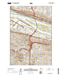 2020 Mount Tabor2020 Print · USGSThe eastern neighborhoods of Portland and Vancouver are captured here in the early twenty-first century as they flank the Columbia River. Local historians can trace the urban footprint across Parkrose and Montavilla, or locate landmarks like Rocky Butte and Rose City Cem.
- 2020 Map of Damascus, 2020 Print
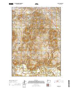 2020 Damascus2020 Print · USGSThe Clackamas River valley meets the southern suburbs of Portland in this 2020 record of the region's expanding residential and rural landscape. Genealogists can locate several historic burial grounds including Damascus Pioneer Cem, while landmarks like Barton Bridge and Gresham Butte anchor the local geography.
- 2020 Map of Linnton, 2020 Print
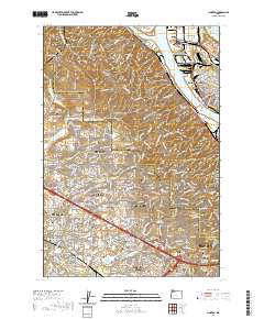 2020 Linnton2020 Print · USGSPortland and its western suburbs show a mix of industrial riverfront and residential expansion in the early twenty-first century. Genealogists can trace family names at Phillips Cem, Gatton Cem, and the German Presbyterian Cem.
- 2020 Map of Sauvie Island, 2020 Print
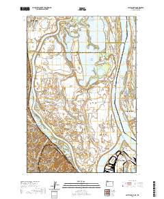 2020 Sauvie Island2020 Print · USGSThe Columbia River confluence and the fertile lowlands of Sauvie Island are shown here in detail during the early twenty-first century. Genealogists and local researchers can trace historic sites like Moar Cem, the location of Fort William Bend, and small hillside communities like Burlington.
- 2020 Map of Camas, 2020 Print
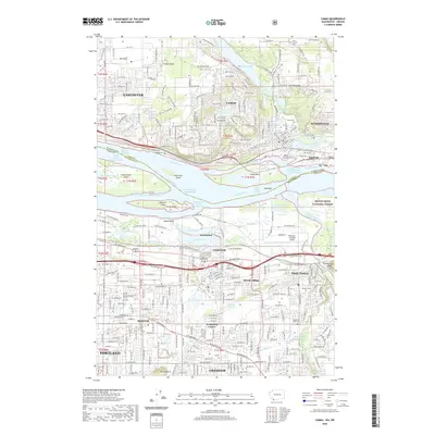 2020 Camas2020 Print · USGSThe Columbia River corridor is captured here at the dawn of the 2020s, showing the intricate boundary between Washington and Oregon. Genealogists and historians can trace local landmarks like Fern Prairie Cem, Fisher Quarry, and the campus of Mount Hood College.
- 2023 Map of Vancouver, 2023 Print
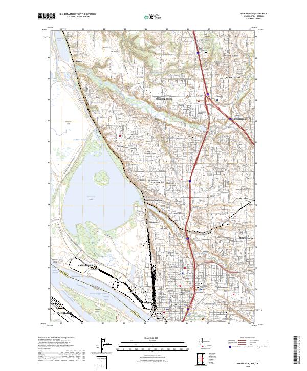 2023 Vancouver2023 Print · USGSVancouver and its surrounding Clark County suburbs are shown in detail during a period of significant modern growth along the Columbia River. Local historians can trace the boundaries of the Fort Vancouver National Historic Site or locate family plots in the Old Vancouver City Cemetery and Salmon Creek Cemetery.
- 2023 Map of Camas, 2023 Print
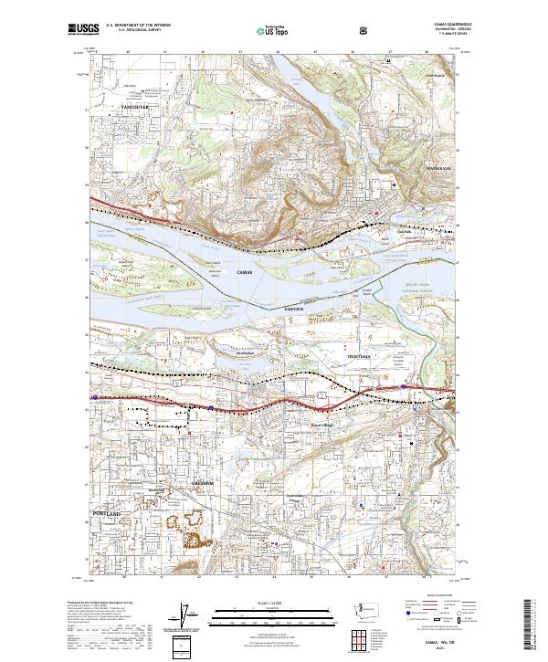 2023 Camas2023 Print · USGSThe interstate border along the Columbia River is captured here as the modern outskirts of Vancouver and Portland meet. Researchers can trace land use from the industrial waterfronts of Camas to local burial sites like Fern Prairie Cem and the Mountain View Stark Cem.
- 2023 Map of Damascus, 2023 Print
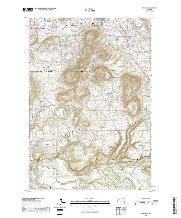 2023 Damascus2023 Print · USGSThe Clackamas and Multnomah county line area shows a maturing landscape of volcanic buttes and river valleys in the 2020s. Researchers can trace local history through numerous burial grounds like Gresham Pioneer Cem and Barton Cem or follow the waters of the Clackamas River.
- 2024 Map of Beaverton, 2024 Print
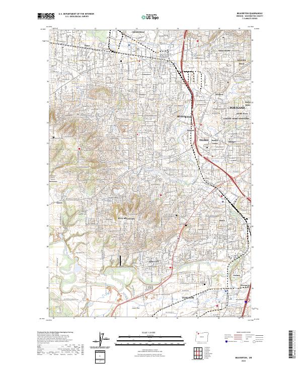 2024 Beaverton2024 Print · USGSBeaverton and the Tualatin River valley show a mature suburban landscape in the early twenty-first century. Genealogists and local historians can locate several historic burial grounds like Patton Cem and Sunset Pioneer Cem alongside modern landmarks like Meyer Riverside Airpark.
- 2024 Map of Linnton, 2024 Print
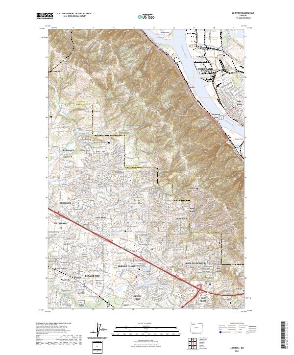 2024 Linnton2024 Print · USGSThe northern reaches of the Portland area meet the Tualatin Valley in this contemporary survey of the riverfront and suburban hills. Researchers can trace historic burial grounds like Bethany Pioneer Cem and the riverfront character of Linnton and Saint Johns.
- 2024 Map of Gladstone, 2024 Print
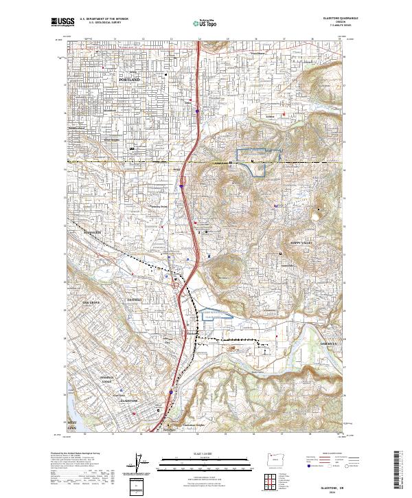 2024 Gladstone2024 Print · USGSThe confluence of the Clackamas and Willamette rivers provides the backdrop for this modern look at the Portland suburbs. Genealogists can trace family sites at Willamette National Cemetery or the Israel and Shaarie Torah Cem.
- 2024 Map of Mount Tabor, 2024 Print
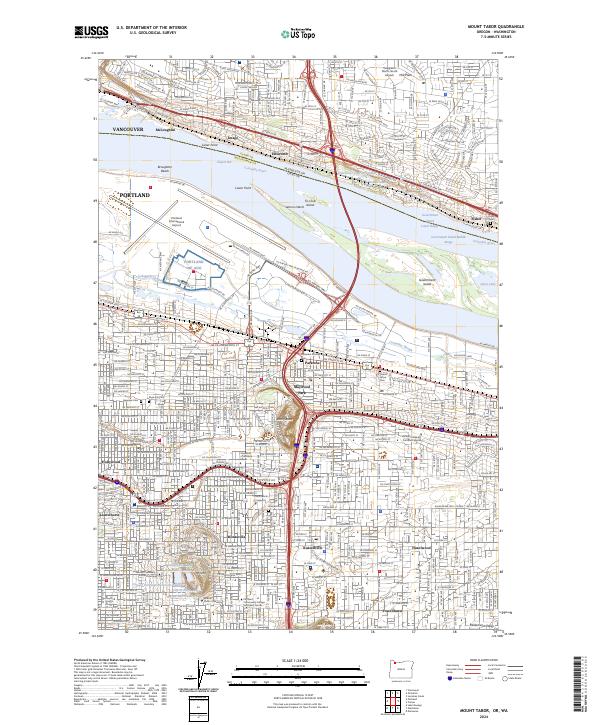 2024 Mount Tabor2024 Print · USGSEast Portland and Vancouver are documented here in the early 2020s, showing the intersection of urban growth and river geography. Trace family history and local landmarks like Japanese Cem, Rocky Butte, and Multnomah University.
- 2024 Map of Lake Oswego, 2024 Print
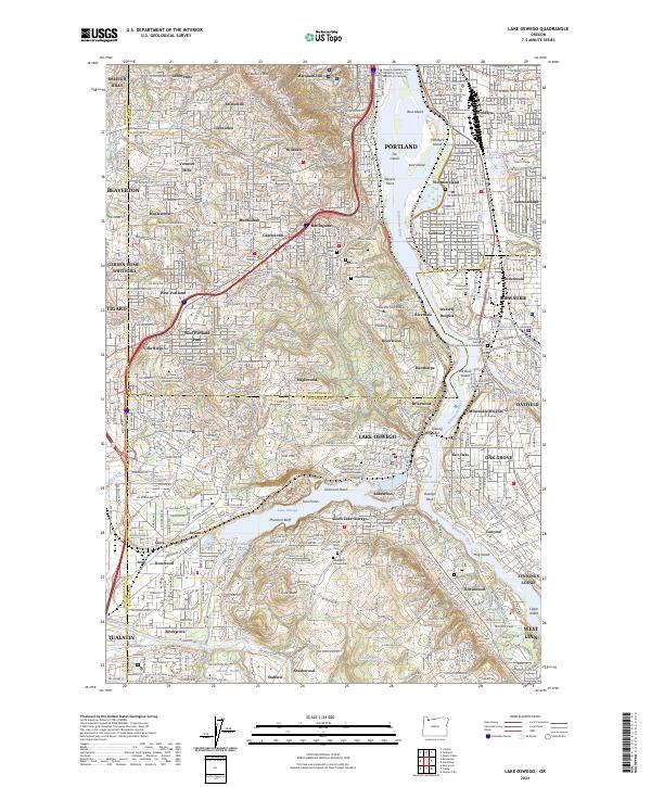 2024 Lake Oswego2024 Print · USGSThe Willamette River corridor and its surrounding hills are shown during a period of modern suburban density. Genealogists and historians can trace family plots at Beth Israel Cem or locate the historic Oswego Pioneer Cem near Iron Mtn.
- 2024 Map of Portland, 2024 Print
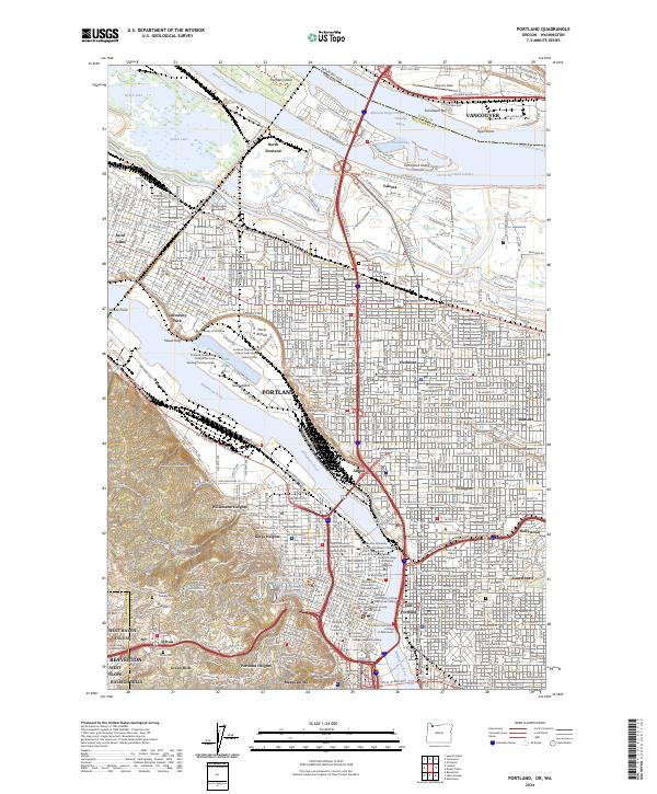 2024 Portland2024 Print · USGSPortland and Vancouver meet at the Columbia River in this detailed modern survey of the urban corridor. Genealogists and historians can trace neighborhood boundaries and find sites like Historic Columbian Cem, Pearson Field, and Swan Island.
- 2024 Map of Sauvie Island, 2024 Print
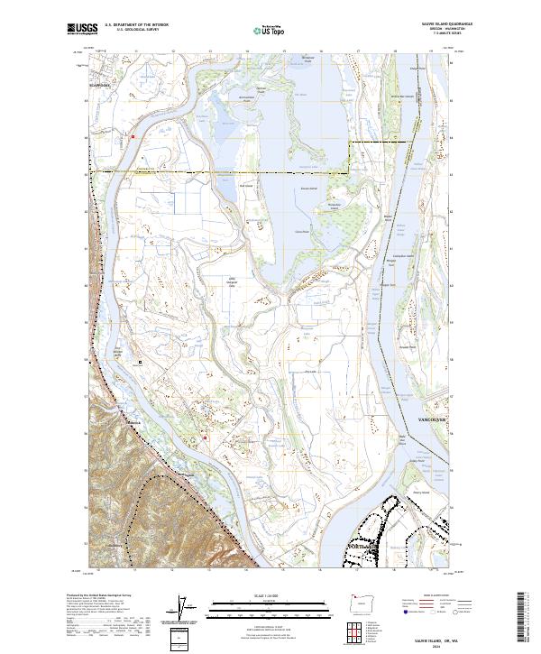 2024 Sauvie Island2024 Print · USGSSauvie Island and the Columbia River confluence are shown in high detail during the 2020s, highlighting the unique river-island geography of the Pacific Northwest. Genealogists and local historians can locate Moar Cem and trace the original settlement footprints at Burlington, Holbrook, and Folkenberg.
End of results
Showing maps 1-20 of 20
Top cities near Portland
- Vancouver historical maps
- Gresham historical maps
- Hillsboro historical maps
- Beaverton historical maps
- Tigard historical maps
- Lake Oswego historical maps
See more
Top neighborhoods of Portland
- Harborton historical maps
- Maplewood historical maps
- Brooklyn historical maps
- Reed historical maps
- Bridlemile historical maps
- Eastmoreland historical maps
See more
Frequently asked questions
- What are the different types of historical maps available for Portland?
- What is the oldest map of Portland?
- Where can I purchase historical maps of Portland for my home or office?
- Where can I download high-res historical maps of Portland?
- Are there historical topographic maps available for Portland?
- Is there historical aerial imagery available for Portland?
- Where are historical maps of Portland sourced from?