Old Maps of Rufus, Oregon for Metal Detecting
Plan your next treasure hunt with 19 historic maps of Rufus. Find old homesites, ghost towns, trails, and gathering spots that may be lost to time — perfect for identifying promising metal detecting locations.
- Locate forgotten sites: Uncover places like long-lost settlements, abandoned rail lines, or gathering spots.
- Plan better hunts: Use map overlays combined with LiDAR or satellite views to narrow in on historically rich areas.
- Made for detectorists: Thousands of hobbyists use these maps to discover relics, coins, and hidden history.
Use these historic maps to boost your research and find new opportunities beneath the surface of Rufus.
Rufus, OR maps
(19)- 1953 Map of The Dalles, 1965 Print
 1953 The Dalles1965 Print · USGSThe Columbia River Gorge at mid-century shows a region being transformed by massive hydroelectric dams and a growing highway network. Researchers can trace the development of The Dalles Dam, locate the Maryhill Museum, and find old rail stops in Rufus, Wishram, and Arlington.3 unique versions available
 - 1956 Map of The Dalles
 1956 The Dalles1956 Print · USGSThe Columbia River Gorge and the high Cascades are captured in the mid-1950s, showing a vital corridor of rail and road. Researchers can trace the original path of The Old Oregon Trail or locate historical landmarks like the Maryhill Museum and Mount Hood.
 - 1957 Map of The Dalles
 1957 The Dalles1957 Print · USGSThe Columbia River Gorge and the high plateaus of the mid-1950s come alive on this detailed survey of northern Oregon and southern Washington. Researchers can trace the path of the Oregon Trail and The Old Barlow Road alongside river towns like The Dalles and Wishram.
 - 1957 Map of Wasco, 1959 Print
 1957 Wasco1959 Print · USGSSherman County and the Columbia River frontier are captured in the late fifties, showing the vital rail and water routes of the Inland Empire. Researchers can trace historic settlements from Wasco to Klondike and locate family landmarks like Sunrise Cemetery.2 unique versions available
 - 1957 Map of Wishram, 1959 Print
 1957 Wishram1959 Print · USGSThe Columbia Gorge in the late fifties was a powerhouse of rail transport and river management. Trace the junction of the S P & S and Union Pacific railroads near Wishram, and find rural landmarks like the Stonehenge Memorial and Douglas Hollow School.2 unique versions available
 - 1971 Map of Rufus, 1973 Print
 1971 Rufus1973 Print · USGSThe Columbia River corridor is captured here in the early seventies, just as the John Day Dam transformed the region's geography. Trace the industrial landscape from Rufus to Cliffs, along with rail lines like the Union Pacific and deep canyons like China Hollow.
 - 1977 Map of Biggs Junction, 1978 Print
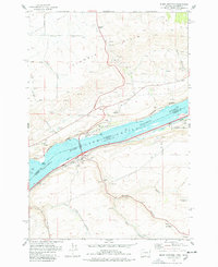 1977 Biggs Junction1978 Print · USGSThe Columbia River gorge in the late 1970s reveals a landscape shaped by rail, water, and unique monuments. Researchers can trace the legacy of the Maryhill area through the Stonehenge Memorial, the tracks of the Union Pacific, and the small settlement at Thornberry.
 - 1980 Map of Goldendale, 1981 Print
 1980 Goldendale1981 Print · USGSThe Columbia River corridor in the 1980s was a critical junction of rail, water, and highway commerce between Washington and Oregon. Genealogists and historians can trace riverside settlements like Wishram, high-country towns like Bickleton, and the grounds of the Maryhill Museum.
 - 1994 Map of Biggs Junction, 1995 Print
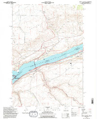 1994 Biggs Junction1995 Print · USGSThe Columbia River corridor is captured here in the mid-nineties, showing the vital connection between Maryhill, Washington and Biggs Junction, Oregon. Trace the cultural and transit history of the gorge through landmarks like the Stonehenge Memorial, the Maryhill Museum, and the rail-and-road hub at Rufus.
 - 2011 Map of Biggs Junction, 2011 Print
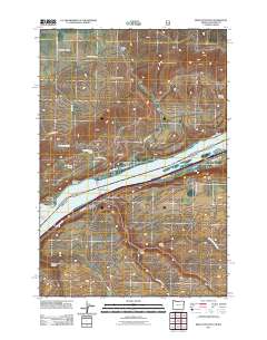 2011 Biggs Junction2011 Print · USGSThe Columbia River Gorge region comes into focus during the early twenty-first century, highlighting the vital transportation corridors near the Oregon-Washington border. Researchers can trace the infrastructure of Biggs Junction and the Sam Hill Memorial Bridge or locate landmarks like Maryhill and Spanish Hollow.
 - 2011 Map of Rufus, 2011 Print
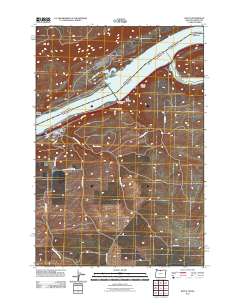 2011 Rufus2011 Print · USGSThe Oregon riverfront town of Rufus is documented here during the early twenty-first century as it sits between the Columbia and the high plateau. Genealogists and researchers can trace local landmarks like the Rufus Post Office and the winding course of China Hollow Creek through Hellroaring Canyon.
 - 2014 Map of Rufus, 2014 Print
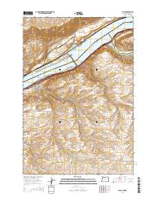 2014 Rufus2014 Print · USGSThe Columbia River Gorge shoreline comes into sharp focus during this mid-2010s survey of the river's south bank and its rugged canyon hinterlands. Map researchers can trace local landmarks like Preachers Eddy and the winding paths of Scott Canyon Rd and China Hollow Rd.
 - 2014 Map of Biggs Junction, 2014 Print
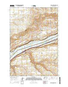 2014 Biggs Junction2014 Print · USGSThe Columbia River gorge at the turn of the 21st century serves as a vital corridor between Oregon and Washington. Researchers can trace local landmarks like the Sam Hill Memorial Bridge and the settlements of Maryhill, Biggs Junction, and Rufus.
 - 2017 Map of Biggs Junction, 2017 Print
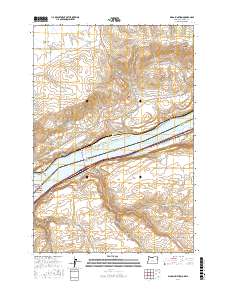 2017 Biggs Junction2017 Print · USGSThe Columbia River Gorge comes into focus in the late 2010s, centered on the interstate crossing at the Washington-Oregon border. Genealogists and local historians can trace the roads around Maryhill, locate the small community of Thornberry, and identify landmarks like Biggs Arch.
 - 2017 Map of Rufus, 2017 Print
 2017 Rufus2017 Print · USGSThe riverfront community of Rufus stands at the confluence of the Columbia River and John Day River during the late twenty-tens. Map collectors can trace the steep canyon walls of Gerking Canyon or locate local landmarks like The Nook and China Hollow.
 - 2020 Map of Rufus, 2020 Print
 2020 Rufus2020 Print · USGSThe Columbia River corridor near Rufus appears in high detail during this contemporary era of dam-regulated waterways. Researchers can trace the rugged drainage of Hellroaring Canyon, locate family-named landmarks like Gerking Canyon, and see the confluence at The Nook.
 - 2020 Map of Biggs Junction, 2020 Print
 2020 Biggs Junction2020 Print · USGSThe Columbia River gorge at the turn of the decade serves as a vital transportation corridor linking Oregon and Washington. Researchers can trace the legacy of the Hill family and regional commerce through landmarks like the Sam Hill Memorial Bridge, Maryhill, and Biggs Junction.
 - 2023 Map of Biggs Junction, 2023 Print
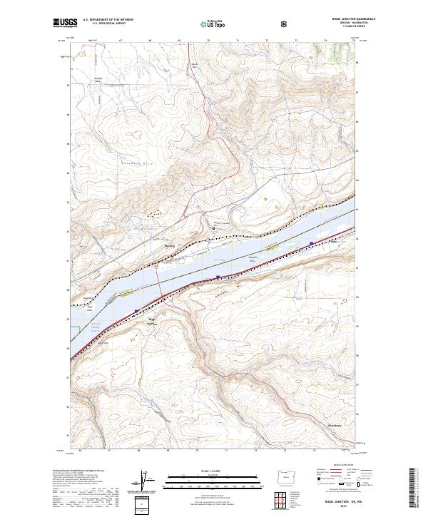 2023 Biggs Junction2023 Print · USGSThe Columbia River Gorge shoreline comes alive in this contemporary record of the Oregon and Washington border. Genealogists and historians can trace the foundations of Maryhill and Rufus, or locate family sites near the Maryhill - Columbus Cem and the old Maryhill Ferry.
 - 2024 Map of Rufus, 2024 Print
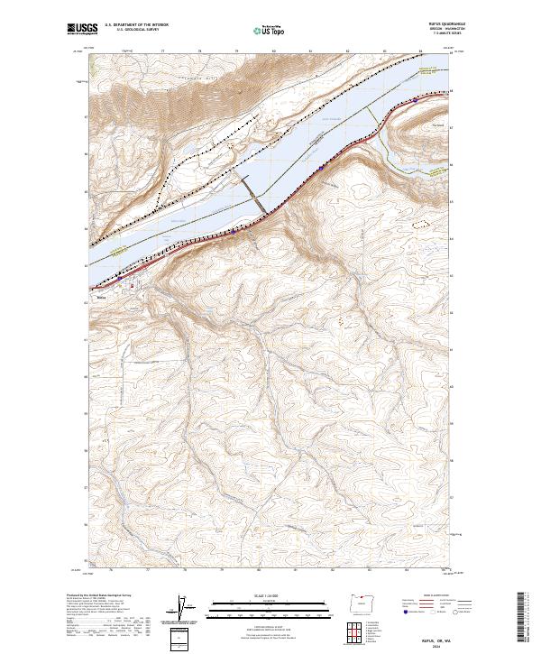 2024 Rufus2024 Print · USGSRufus and the Sherman County riverfront are shown in detail as they appear today along the Columbia Gorge. Trace the rugged terrain from Preachers Eddy on the Columbia River to local landmarks like Pioneer Spring and the depths of Hellroaring Canyon.
End of results
Showing maps 1-19 of 19
Top cities near Rufus
Frequently asked questions
- What are the different types of historical maps available for Rufus?
- What is the oldest map of Rufus?
- Where can I purchase historical maps of Rufus for my home or office?
- Where can I download high-res historical maps of Rufus?
- Are there historical topographic maps available for Rufus?
- Is there historical aerial imagery available for Rufus?
- Where are historical maps of Rufus sourced from?