Old Maps of Cold Springs, Oregon for Genealogy
Trace your family roots with 11 historic maps of Cold Springs. These high-res maps reveal old neighborhoods, homesites, landmarks, and streets — helping you uncover where your ancestors lived and how the area evolved over time.
- Explore historic neighborhoods: Identify where your relatives may have lived in the 1800s or 1900s.
- Compare maps over time: Trace the changes in streets, buildings, and landmarks for multi-generational research.
- Perfect for genealogy & ancestry research: Used by family historians and researchers to map out lineage and migration.
These maps are an incredible resource for exploring your personal connection to Cold Springs's past.
Cold Springs, OR maps
(11)- 1908 Map of Umatilla
 1908 Umatilla1908 Print · USGSEastern Oregon at the turn of the century shows a landscape being transformed by early irrigation and competing rail lines. Genealogists and researchers can trace the growth of Hermiston, Echo, and Pine City or follow the path of the Stage Road and the Furnish Ditch.3 unique versions available
 - 1953 Map of Pendleton, 1957 Print
 1953 Pendleton1957 Print · USGSNortheastern Oregon and the Columbia River frontier are captured here in the early fifties, a time of massive federal infrastructure projects. Researchers can trace the historic route of The Old Oregon Trail as it passes near the Umatilla Ordnance Depot and the new McNary Dam.4 unique versions available
 - 1956 Map of Pendleton
 1956 Pendleton1956 Print · USGSNortheastern Oregon’s high plateau and timbered peaks appear here in the mid-fifties, during a time of major military and hydroelectric development. Trace the path of The Old Oregon Trail alongside modern landmarks like McNary Dam and the Umatilla Ordnance Depot.
 - 1962 Map of Hat Rock, 1963 Print
 1962 Hat Rock1963 Print · USGSThe Columbia River shoreline in the early sixties reveals a landscape of massive water projects and rail infrastructure. Trace the river's edge through Berrian or explore the landmarks of Hat Rock State Park and the Cold Springs National Wildlife Refuge.3 unique versions available
 - 1984 Map of Hermiston
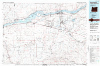 1984 Hermiston1984 Print · USGSThe Columbia River basin in the 1980s reveals a landscape of massive infrastructure, from hydroelectric dams to expansive military depots. Researchers can trace the industrial footprint of the Umatilla Ordnance Depot or locate historic rail hubs at Hinkle and Stanfield.2 unique versions available
 - 1993 Map of Hat Rock
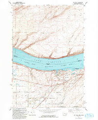 1993 Hat Rock1993 Print · USGSThe Columbia River shoreline near the Oregon-Washington border is captured here in the early nineties, showing a landscape defined by water management and transit. Researchers can trace the river's path past Hat Rock State Park, the Union Pacific tracks, and the Cold Springs National Wildlife Refuge.
 - 2011 Map of Hat Rock, 2011 Print
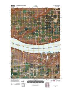 2011 Hat Rock2011 Print · USGSThe Columbia River corridor in the early twenty-first century shows a landscape of riverside recreation and industrial agriculture. Genealogists and local historians can trace the road networks around Cold Springs or explore the riverfront at Hat Rock State Park.
 - 2014 Map of Hat Rock, 2014 Print
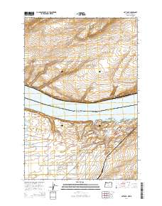 2014 Hat Rock2014 Print · USGSThe Columbia River frontier near Umatilla comes to life in the early twenty-first century, showing the meeting of Washington and Oregon at Lake Wallula. Researchers can trace the modern crossroads at Cold Springs Junction or locate riverside landmarks like Hat Rock and Boat Rock.
 - 2017 Map of Hat Rock, 2017 Print
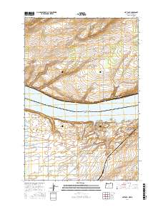 2017 Hat Rock2017 Print · USGSThe Columbia River shoreline near Umatilla comes into focus in this modern era survey of the Oregon-Washington border. Researchers can trace the local landscape through landmarks like Hat Rock, the small settlement of River View, and the waters of Lake Wallula.
 - 2020 Map of Hat Rock, 2020 Print
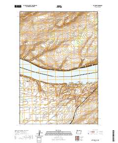 2020 Hat Rock2020 Print · USGSThe Columbia River corridor near the Oregon-Washington border is captured here during its modern era of water management and rural growth. Researchers can trace land patterns around the distinctive basalt formation of Hat Rock, the settlement at Berrian, and Cold Springs Junction.
 - 2024 Map of Hat Rock, 2024 Print
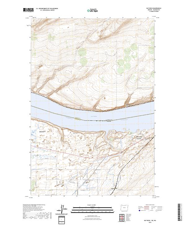 2024 Hat Rock2024 Print · USGSThe high desert along the Columbia River comes into focus in this contemporary survey of the Oregon-Washington border. Researchers can trace the local water economy through the T Canal and irrigation drains, or locate settlements like Berrian and River View.
End of results
Showing maps 1-11 of 11
Top cities near Cold Springs
Frequently asked questions
- What are the different types of historical maps available for Cold Springs?
- What is the oldest map of Cold Springs?
- Where can I purchase historical maps of Cold Springs for my home or office?
- Where can I download high-res historical maps of Cold Springs?
- Are there historical topographic maps available for Cold Springs?
- Is there historical aerial imagery available for Cold Springs?
- Where are historical maps of Cold Springs sourced from?