2000s (21st Century) Maps of Milton-Freewater, Oregon
Explore 9 historic maps of Milton-Freewater from the 2000s (21st Century). These maps offer a rare glimpse into what life looked like during the 2000s — showing old roads, neighborhoods, homes, and landmarks that have changed or disappeared over time.
Whether you're researching your family's past, planning a metal detecting trip, or studying how Milton-Freewater's landscape evolved across the 2000s, these high-resolution maps are a powerful tool for exploring the history of this region.
- Focus on a specific era: All maps on this page are from the 2000s, giving you a focused view of this time period.
- See what’s changed: Compare century-old streets, trails, and buildings to today's modern landscape using overlays and satellite layers.
- Research with precision: Use these maps for genealogy, historical research, land use analysis, or educational projects.
- View, download, or print: Maps are fully viewable online in high resolution, and can be downloaded or printed for your own records.
Start exploring Milton-Freewater's history through authentic maps from the 2000s. This is your window into the past.
Milton-Freewater, OR maps
(9)- 2011 Map of Bowlus Hill, 2011 Print
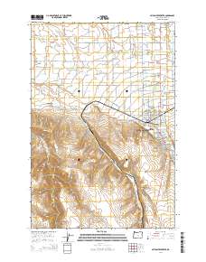
 2011 Bowlus Hill2011 Print · USGSCovers Milton-Freewater, including Spofford, Umatilla County, and other nearby areas
 - 2011 Map of Milton-Freewater, 2011 Print
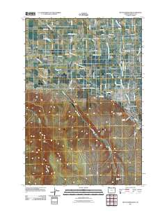 2011 Milton-Freewater2011 Print · USGSCovers Milton-Freewater, including Umapine, Ferndale, and other nearby areas
 - 2014 Map of Milton-Freewater, 2014 Print
 2014 Milton-Freewater2014 Print · USGSCovers Milton-Freewater, including Umapine, Ferndale, and other nearby areas
 - 2017 Map of Bowlus Hill, 2017 Print
 2017 Bowlus Hill2017 Print · USGSCovers Milton-Freewater, including Spofford, Umatilla County, and other nearby areas
 - 2017 Map of Milton-Freewater, 2017 Print
 2017 Milton-Freewater2017 Print · USGSCovers Milton-Freewater, including Umapine, Ferndale, and other nearby areas
 - 2020 Map of Bowlus Hill, 2020 Print
 2020 Bowlus Hill2020 Print · USGSCovers Milton-Freewater, including Spofford, Umatilla County, and other nearby areas
 - 2020 Map of Milton-Freewater, 2020 Print
 2020 Milton-Freewater2020 Print · USGSCovers Milton-Freewater, including Umapine, Ferndale, and other nearby areas
 - 2023 Map of Bowlus Hill, 2023 Print
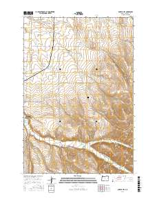
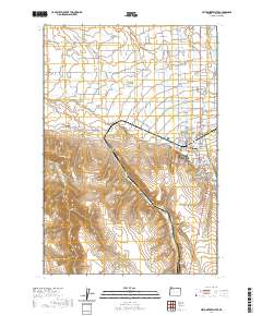
 2023 Bowlus Hill2023 Print · USGSUmatilla County's eastern foothills come into sharp focus here as the Walla Walla Valley meets the Blue Mountains. Genealogists and local historians can trace family-named landmarks like Bowlus Cem, Bowlus Hill, and the lower reaches of Pumpkin Hollow.
 - 2023 Map of Milton-Freewater, 2023 Print
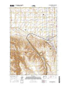
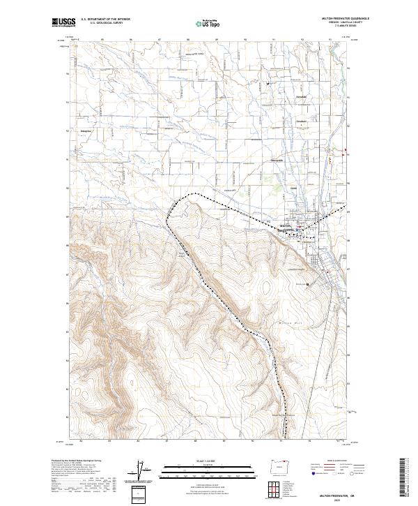 2023 Milton-Freewater2023 Print · USGSUmatilla County's fertile orchard lands are meticulously detailed in this recent survey of the Walla Walla Valley. Researchers can trace the lineage of water rights and settlements through features like the Milton Ditch, Old City Cem, and the community of Ferndale.
End of results
Showing maps 1-9 of 9
Top cities near Milton-Freewater
- Walla Walla historical maps
- College Place historical maps
- Athena historical maps
- Weston historical maps
- Adams historical maps
Top neighborhoods of Milton-Freewater
Frequently asked questions
- What are the different types of historical maps available for Milton-Freewater?
- What is the oldest map of Milton-Freewater?
- Where can I purchase historical maps of Milton-Freewater for my home or office?
- Where can I download high-res historical maps of Milton-Freewater?
- Are there historical topographic maps available for Milton-Freewater?
- Is there historical aerial imagery available for Milton-Freewater?
- Where are historical maps of Milton-Freewater sourced from?