Old Maps of North Junction, Oregon
Explore 12 old maps of North Junction, spanning from 1928 to today. These high-resolution historic maps reveal how streets, neighborhoods, landmarks, and natural features evolved over time — perfect for genealogy, metal detecting, research, and local history exploration.
What you can do with these maps:
- See how North Junction changed over time: Compare historical maps to modern-day views to trace roads, homesites, rail lines & more.
- View detailed metadata: Each map includes creators, publishers, year, scale, and archive source.
- Overlay maps with satellite & LiDAR: Visualize the past alongside modern tools to explore terrain & human change.
- Trusted historical sources: Maps sourced from the USGS, Library of Congress, and other archives.
- Access maps your way: View online, download high-res files, or order prints for personal or research use.
Start exploring old maps of North Junction to uncover forgotten places, hidden landmarks, and the deep history beneath your feet.
North Junction, OR maps
(12)- 1928 Map of Madras, 1956 Print
 1928 Madras1956 Print · USGSJefferson County was a landscape of high plateaus and deep river canyons in the late twenties, where new highways met tribal lands. Genealogists can trace family footprints at Hebe Mill, Simnasho, and rural schoolhouses like Mountain View Sch.
 - 1931 Map of Madras
 1931 Madras1931 Print · USGSCentral Oregon ranching and rail life come into focus in the late twenties, centering on the Warm Springs Agency. Trace the river-level rail stops at Mecca and Kaskela or locate early rural schoolhouses like New Era Sch and Lyle Gap Sch.2 unique versions available
 - 1955 Map of Bend, 1964 Print
 1955 Bend1964 Print · USGSCentral Oregon was undergoing significant growth in the mid-1960s as irrigation and infrastructure transformed the high desert. Researchers can trace the path of the Oregon Trunk Line, locate old stops like Gateway, and find landmarks like Lava Butte or the Grange.3 unique versions available
 - 1957 Map of Bend
 1957 Bend1957 Print · USGSCentral Oregon in the mid-fifties is a landscape of transition between the high Cascades and the arid volcanic plateau. Local historians can trace the rail corridors of the Oregon Trunk and locate early settlements like Ashwood, Odin Falls, and Camp Sherman.
 - 1958 Map of Bend
 1958 Bend1958 Print · USGSCentral Oregon in the late fifties was a land of high desert ranching and growing mountain towns. Researchers can trace the rail lines of the Oregon Trunk Railroad, find established settlements like Madras and Sisters, or locate landmarks such as Smith Rock and Lava Butte.
 - 1962 Map of Kaskela, 1964 Print
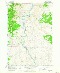 1962 Kaskela1964 Print · USGSThe Deschutes River canyon in the early 1960s serves as a busy rail corridor where the Spokane Portland and Seattle and Oregon Trunk meet. Researchers can trace small settlements and landmarks like Kaskela, North Junction (Davidson), and Jersey Sch.2 unique versions available
 - 1983 Map of Madras
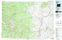 1983 Madras1983 Print · USGSJefferson County and the Warm Springs Indian Reservation are shown in detail during the early 1980s, from the Cascade peaks to the high desert. Researchers can trace the legacy of tribal lands at Simnasho, find the Abbot Cemetery, or follow the rail lines through Madras Sta.
 - 2011 Map of Kaskela, 2011 Print
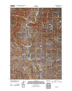 2011 Kaskela2011 Print · USGSThe Deschutes River canyon in Wasco County is shown here in the early twenty-first century as a landscape of isolated ranches and vital springs. Researchers can locate remote river points like North Junction and Kaskela or trace family holdings at Whiskey Dick Ranch.
 - 2014 Map of Kaskela, 2014 Print
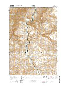 2014 Kaskela2014 Print · USGSThe Deschutes River canyon remains a central geographic feature of Wasco County in the early twenty-first century. Researchers can trace the river's path past the Kaskela settlement and identify vital water sources like Jersey School Spring and Boiling Spring.
 - 2017 Map of Kaskela, 2017 Print
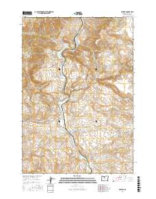 2017 Kaskela2017 Print · USGSThe Deschutes River canyon in Wasco County remains a land of rugged water gaps and high ridges during the late twenty-teens. Genealogists and historians can trace the settlement at Kaskela, the site of Jersey School, and the dangerous White Horse Rapids.
 - 2020 Map of Kaskela, 2020 Print
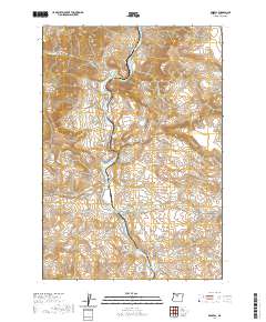 2020 Kaskela2020 Print · USGSThe Deschutes River canyon in northern Oregon is captured in detail as it appeared in 2020. Local researchers can trace the rugged topography from the Mutton Mountains to the settlement of Kaskela and landmarks like White Horse Rapids.
 - 2023 Map of Kaskela, 2023 Print
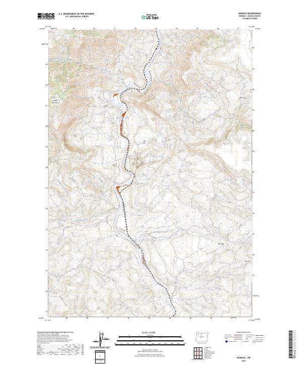 2023 Kaskela2023 Print · USGSWasco County landscape during the early twenty-first century is dominated by the winding course of the Deschutes River. Researchers can trace the rugged transition from the Mutton Mountains to the valley floor, identifying local landmarks like Jersey School Spring and White Horse Rapids.
End of results
Showing maps 1-12 of 12
Top cities near North Junction
Frequently asked questions
- What are the different types of historical maps available for North Junction?
- What is the oldest map of North Junction?
- Where can I purchase historical maps of North Junction for my home or office?
- Where can I download high-res historical maps of North Junction?
- Are there historical topographic maps available for North Junction?
- Is there historical aerial imagery available for North Junction?
- Where are historical maps of North Junction sourced from?