Old Maps of Simnasho, Oregon for Hiking & Exploration
Hike through history with 11 historic maps of Simnasho. Explore old trails, ghost towns, and forgotten backroads — perfect for outdoor adventurers and local explorers.
- Rediscover forgotten places: Map out old mining camps, roads, and footpaths that no longer exist on modern maps.
- Layer with modern tools: Combine with LiDAR or satellite views to plan hikes through historical terrain.
- Made for exploration: Popular among hikers, overlanders, and local history lovers.
Use these maps to find adventure and explore the hidden past of Simnasho.
Simnasho, OR maps
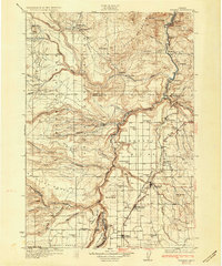
(11)- 1928 Map of Madras, 1956 Print
 1928 Madras1956 Print · USGSJefferson County was a landscape of high plateaus and deep river canyons in the late twenties, where new highways met tribal lands. Genealogists can trace family footprints at Hebe Mill, Simnasho, and rural schoolhouses like Mountain View Sch.
 - 1931 Map of Madras
 1931 Madras1931 Print · USGSCentral Oregon ranching and rail life come into focus in the late twenties, centering on the Warm Springs Agency. Trace the river-level rail stops at Mecca and Kaskela or locate early rural schoolhouses like New Era Sch and Lyle Gap Sch.2 unique versions available
 - 1955 Map of Bend, 1964 Print
 1955 Bend1964 Print · USGSCentral Oregon was undergoing significant growth in the mid-1960s as irrigation and infrastructure transformed the high desert. Researchers can trace the path of the Oregon Trunk Line, locate old stops like Gateway, and find landmarks like Lava Butte or the Grange.3 unique versions available
 - 1957 Map of Bend
 1957 Bend1957 Print · USGSCentral Oregon in the mid-fifties is a landscape of transition between the high Cascades and the arid volcanic plateau. Local historians can trace the rail corridors of the Oregon Trunk and locate early settlements like Ashwood, Odin Falls, and Camp Sherman.
 - 1958 Map of Bend
 1958 Bend1958 Print · USGSCentral Oregon in the late fifties was a land of high desert ranching and growing mountain towns. Researchers can trace the rail lines of the Oregon Trunk Railroad, find established settlements like Madras and Sisters, or locate landmarks such as Smith Rock and Lava Butte.
 - 1962 Map of Simnasho, 1964 Print
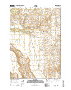
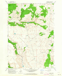 1962 Simnasho1964 Print · USGSThe Warm Springs Indian Reservation in the early sixties is shown here as a landscape of plateau flats and vital water sources. Researchers can trace the layout of Simnasho, locate the Simnasho Cemetery, and find family-named sites like La Clair Spring.2 unique versions available
 - 1983 Map of Madras
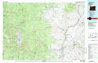 1983 Madras1983 Print · USGSJefferson County and the Warm Springs Indian Reservation are shown in detail during the early 1980s, from the Cascade peaks to the high desert. Researchers can trace the legacy of tribal lands at Simnasho, find the Abbot Cemetery, or follow the rail lines through Madras Sta.
 - 2011 Map of Simnasho, 2011 Print
 2011 Simnasho2011 Print · USGSCovers Simnasho, including Wasco County, United States, and other nearby areas
 - 2014 Map of Simnasho, 2014 Print
 2014 Simnasho2014 Print · USGSCovers Simnasho, including Wasco County, United States, and other nearby areas
 - 2020 Map of Simnasho, 2020 Print
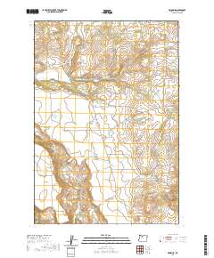 2020 Simnasho2020 Print · USGSCovers Simnasho, including Wasco County, United States, and other nearby areas
 - 2024 Map of Simnasho, 2024 Print
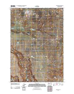
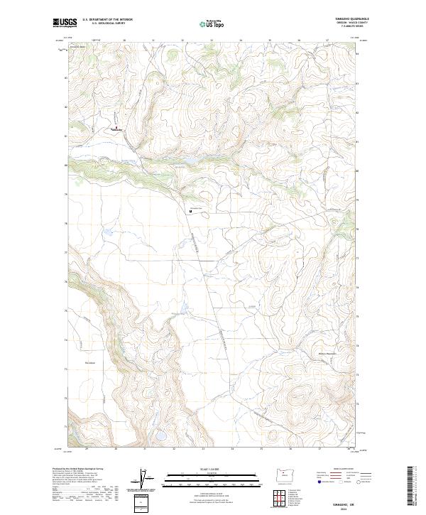 2024 Simnasho2024 Print · USGSSimnasho and the high plateaus of Wasco County are documented here in the early twenty-first century. Genealogists and researchers can locate the Simnasho Cem and trace seasonal water sources like Le Clair Spring and the Happy Valley Reservoir.
End of results
Showing maps 1-11 of 11
Top cities near Simnasho
Frequently asked questions
- What are the different types of historical maps available for Simnasho?
- What is the oldest map of Simnasho?
- Where can I purchase historical maps of Simnasho for my home or office?
- Where can I download high-res historical maps of Simnasho?
- Are there historical topographic maps available for Simnasho?
- Is there historical aerial imagery available for Simnasho?
- Where are historical maps of Simnasho sourced from?