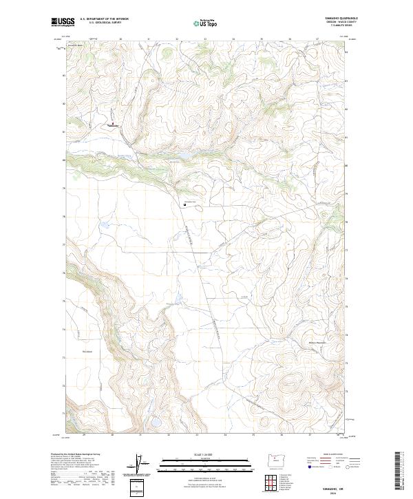
2024 Map of Simnasho
USGS Topo · Published 2024About this map
Simnasho serves as the focal point of this high-plateau landscape, where the Simnasho-Hot Springs Rd intersects with local routes like Asnamash Loop. The terrain is defined by dramatic elevation changes, moving from the heights of Simnasho Butte and the Mutton Mountains down to the broad expanses of Schoolie Flat and The Island. Water is a critical element in this environment, managed through the Happy Valley Reservoir and supplied by natural sources like Le Clair Spring.
Find a feature on this map
37 named features on this map. Tap any name to fly to it.
Don’t see what you’re looking for? This feature index may not catch every label — zoom into the map to look around manually.
Map Details
Editions of this 2024 Simnasho Map
This is the sole edition of this map. No revisions or reprints were ever made.
Other maps of this area

1928 · Madras
USGS Topo · 1:125,000

1930 · Dufur
USGS Topo · 1:125,000

1931 · Madras
USGS Topo · 1:125,000

1934 · Dufur
USGS Topo · 1:125,000

1953 · The Dalles
USGS Topo · 1:250,000

1955 · Bend
USGS Topo · 1:250,000

1956 · The Dalles
USGS Topo · 1:250,000

1957 · Bend
USGS Topo · 1:250,000

1957 · The Dalles
USGS Topo · 1:250,000

1958 · Bend
USGS Topo · 1:250,000