
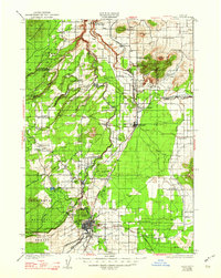
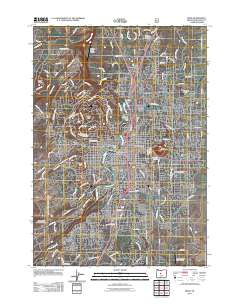
1957 Map of Bend
USGS Topo · Published 1957About this map
The Cascade Range forms a towering western wall in this mid-century survey, dominated by the peaks of Mt Jefferson, Mt Washington, and the Three Sisters. Below the timbered slopes, the high desert landscape is defined by the deep canyons of the Deschutes River and Crooked River. Settlement patterns follow these vital water sources, centering on the growing hubs of Bend, Redmond, and Prineville. The interior plateau reveals a network of smaller communities and rail stops like Kaskela Station and Gateway, while the Oregon Trunk and Union Pacific railroads provide essential transit through the basalt-rimmed valleys.
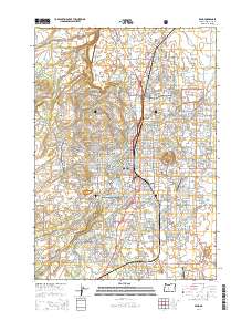
Find a feature on this map
134 named features on this map. Tap any name to fly to it.
Don’t see what you’re looking for? This feature index may not catch every label — zoom into the map to look around manually.
Map Details
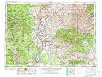
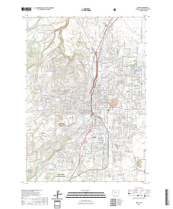
Editions of this 1957 Bend Map
This is the sole edition of this map. No revisions or reprints were ever made.
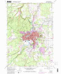
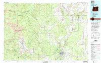
Historical Maps of Bend Through Time
13 maps found

1926 Bend
Deschutes County, OR
1929 Bend
Deschutes County, OR
1955 Bend
Deschutes County, OR
1957 Bend
Deschutes County, OR

1958 Bend
Deschutes County, OR
1962 Bend
Deschutes County, OR
1980 Bend
Deschutes County, OR
2011 Bend
Deschutes County, OR
2014 Bend
Deschutes County, OR
2017 Bend
Deschutes County, OR

2020 Bend
Deschutes County, OR

2023 Bend
Deschutes County, OR
2024 Bend
Deschutes County, OR