Old Maps of Glenwood, Oregon for Hiking & Exploration
Hike through history with 14 historic maps of Glenwood. Explore old trails, ghost towns, and forgotten backroads — perfect for outdoor adventurers and local explorers.
- Rediscover forgotten places: Map out old mining camps, roads, and footpaths that no longer exist on modern maps.
- Layer with modern tools: Combine with LiDAR or satellite views to plan hikes through historical terrain.
- Made for exploration: Popular among hikers, overlanders, and local history lovers.
Use these maps to find adventure and explore the hidden past of Glenwood.
Glenwood, OR maps
(14)- 1941 Map of Timber
 1941 Timber1941 Print · USGSCoastal Oregon at the start of the 1940s reveals a landscape defined by timber extraction and railroad expansion. Genealogists and historians can trace the remote logging life through Timber, Cochran, and numerous work sites like the Gonnacher Logging Camp.
 - 1948 Map of Vancouver, 1957 Print
 1948 Vancouver1957 Print · USGSPost-war growth transforms the river valleys of the Pacific Northwest as the timber and rail economy thrives. Trace family roots in Tillamook or Oregon City, and locate vanished landmarks like the spit at Bayocean or the Skamania Mine.
 - 1950 Map of Vancouver
 1950 Vancouver1950 Print · USGSCoastal Oregon and the lower Columbia River valley are captured in detail just after the war. Researchers can trace historic rail routes like the Southern Pacific or locate early settlements such as Vernonia, Gaston, and the Grand Ronde Indian Reservation.
 - 1950 Map of Vancouver, 1951 Print
 1950 Vancouver1951 Print · USGSThe Pacific Northwest urban corridor meets the rugged coast in the years following the war, showing the expansion of Portland and Vancouver. Genealogists and historians can trace the reach of the Southern Pacific RR and locate coastal communities like Tillamook, Seaside, and Tolovana Park.
 - 1955 Map of Timber, 1957 Print
 1955 Timber1957 Print · USGSThe Oregon Coast Range in the mid-1950s was a hub of logging activity and rail transit through the mountains of Washington and Tillamook counties. Historians can trace the winding Southern Pacific rail line and locate forest outposts like Cochran and Timbuktu.2 unique versions available
 - 1958 Map of Vancouver, 1968 Print
 1958 Vancouver1968 Print · USGSThe Lower Columbia and Willamette valleys thrive in the late sixties as major rail and river hubs. Genealogists and historians can trace the development of Portland, identify the grounds of Camp Withycombe, and locate coastal landmarks from Tillamook Head to Garibaldi.3 unique versions available
 - 1964 Map of Vancouver
 1964 Vancouver1964 Print · USGSThe Pacific Northwest interior and coast are shown here in the 1960s, from the Portland metropolitan hub to the rugged Pacific shoreline. Researchers can trace the legacy of the Grand Ronde Indian Reservation, the early layout of McMinnville, and the maritime approaches near Tillamook Head.
 - 1979 Map of Timber
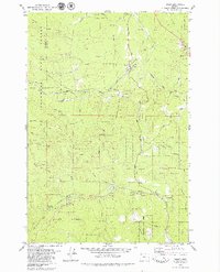 1979 Timber1979 Print · USGSNorthwestern Oregon's timber country is documented here during the late seventies, showing the rail and river corridors that shaped the region. Researchers can trace the Southern Pacific line through Walcott Tunnel or locate the Weieburg (Site) and Gales Creek Childrens Camp.2 unique versions available
 - 1979 Map of Nehalem River, 1980 Print
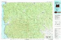 1979 Nehalem River1980 Print · USGSThe northern Oregon coast and its timber-rich interior are captured here in the late seventies, showing the vital connection between sea and forest. Researchers can trace the rail lines of the Southern Pacific and Burlington Northern through historic logging hubs like Vernonia, Timber, and Nehalem.3 unique versions available
 - 2011 Map of Timber, 2011 Print
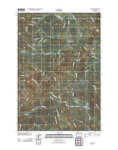 2011 Timber2011 Print · USGSNorthwestern Washington County's forested hills are shown here in the early twenty-first century, centered on the logging communities of Timber and Glenwood. Researchers can locate local landmarks like the Timber Post Office, Sunset Tunnel, and the Gales Creek Childrens Camp.
 - 2014 Map of Timber, 2014 Print
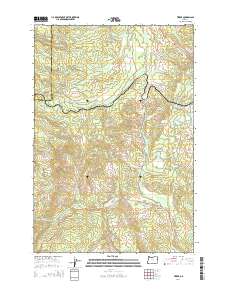 2014 Timber2014 Print · USGSThe Coast Range highlands of northwest Oregon are mapped here in the early twenty-first century as the historic logging communities of Timber and Glenwood persist. Researchers can trace the mountain geography of Round Top, the Sunset Tunnel 2552, and the headwaters of the Nehalem River.
 - 2017 Map of Timber, 2017 Print
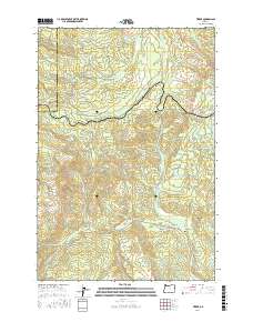 2017 Timber2017 Print · USGSTimber and the high ridges of the Coast Range are captured here in the late twenty-teens as a landscape of forest management and recreation. Researchers can trace the winding Gales Creek Trail, locate the Sunset Tunnel, and find the rural community of Glenwood.
 - 2020 Map of Timber, 2020 Print
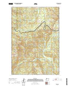 2020 Timber2020 Print · USGSThe timber country of the Coast Range comes into focus in this recent survey of the Washington and Tillamook county line. Researchers can trace the rugged topography around Timber and Glenwood or locate landmarks like Sunset Tunnel 2552 and the Bauer Reservoir.
 - 2023 Map of Timber, 2023 Print
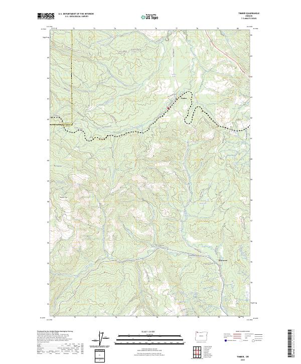 2023 Timber2023 Print · USGSTimber and Glenwood sit at the heart of the Oregon Coast Range in this recent survey. Local historians can trace the headwaters of the Nehalem River and Gales Creek or locate landmarks like Bauer Reservoir and Hudson Spring.
End of results
Showing maps 1-14 of 14
Top cities near Glenwood
- Forest Grove historical maps
- Cornelius historical maps
- Vernonia historical maps
- Banks historical maps
- Gaston historical maps
- Timber historical maps
Frequently asked questions
- What are the different types of historical maps available for Glenwood?
- What is the oldest map of Glenwood?
- Where can I purchase historical maps of Glenwood for my home or office?
- Where can I download high-res historical maps of Glenwood?
- Are there historical topographic maps available for Glenwood?
- Is there historical aerial imagery available for Glenwood?
- Where are historical maps of Glenwood sourced from?