2000s (21st Century) Maps of Dundee, Oregon
Explore 8 historic maps of Dundee from the 2000s (21st Century). These maps offer a rare glimpse into what life looked like during the 2000s — showing old roads, neighborhoods, homes, and landmarks that have changed or disappeared over time.
Whether you're researching your family's past, planning a metal detecting trip, or studying how Dundee's landscape evolved across the 2000s, these high-resolution maps are a powerful tool for exploring the history of this region.
- Focus on a specific era: All maps on this page are from the 2000s, giving you a focused view of this time period.
- See what’s changed: Compare century-old streets, trails, and buildings to today's modern landscape using overlays and satellite layers.
- Research with precision: Use these maps for genealogy, historical research, land use analysis, or educational projects.
- View, download, or print: Maps are fully viewable online in high resolution, and can be downloaded or printed for your own records.
Start exploring Dundee's history through authentic maps from the 2000s. This is your window into the past.
Dundee, OR maps
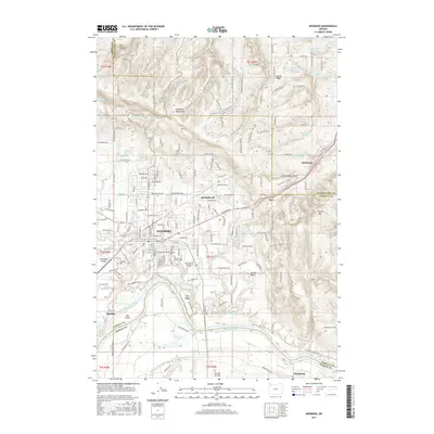
(8)- 2011 Map of Newberg, 2011 Print
 2011 Newberg2011 Print · USGSCovers Dundee, including Newberg, Sherwood, and other nearby areas
 - 2011 Map of Dundee, 2011 Print
 2011 Dundee2011 Print · USGSCovers Dundee, including Lafayette, Marion County, and other nearby areas
 - 2014 Map of Dundee, 2014 Print
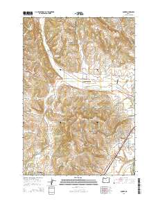 2014 Dundee2014 Print · USGSCovers Dundee, including Lafayette, Marion County, and other nearby areas
 - 2017 Map of Dundee, 2017 Print
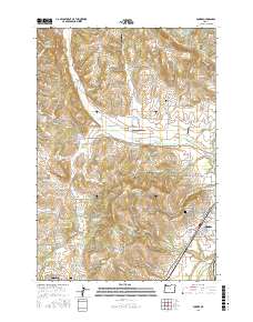 2017 Dundee2017 Print · USGSCovers Dundee, including Lafayette, Marion County, and other nearby areas
 - 2017 Map of Newberg, 2017 Print
 2017 Newberg2017 Print · USGSCovers Dundee, including Newberg, Sherwood, and other nearby areas
 - 2020 Map of Dundee, 2020 Print
 2020 Dundee2020 Print · USGSCovers Dundee, including Lafayette, Marion County, and other nearby areas
 - 2023 Map of Newberg, 2023 Print
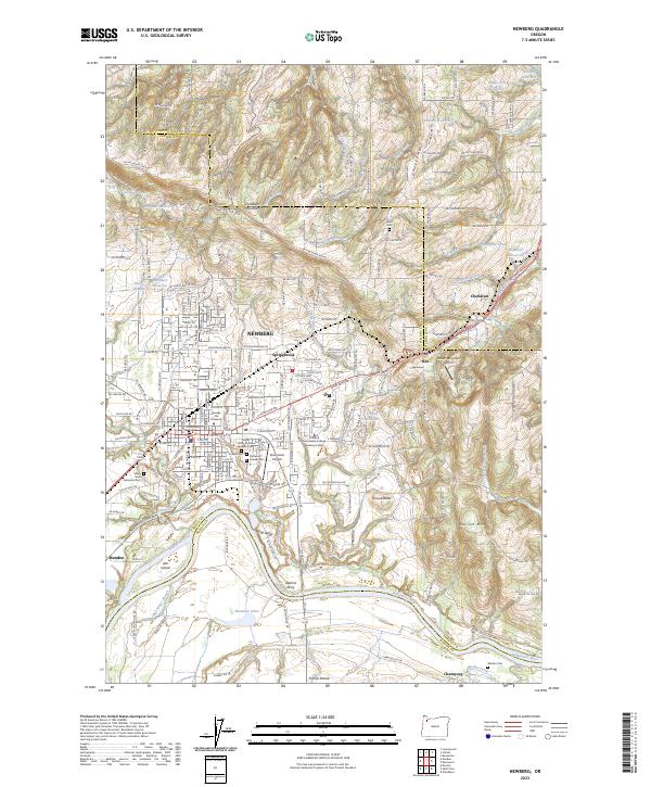 2023 Newberg2023 Print · USGSNewberg and the Chehalem Valley are captured here in the early 2020s, showing a landscape defined by the Willamette River and the Chehalem Mountains. Researchers can locate historic burial sites like Gibbs Cem, the grounds of George Fox University, and the site of Gearins Ferry.
 - 2023 Map of Dundee, 2023 Print
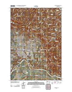
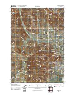
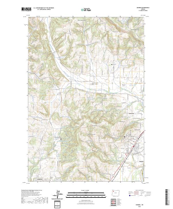 2023 Dundee2023 Print · USGSDundee and the surrounding Chehalem Valley are captured in the 2020s, showing a landscape defined by its famous red hills and small-town roots. Researchers can trace local lineage through the Dundee Pioneer Cem and Lafayette Pioneer Cem or locate the historic Our Lady of Guadalupe Trappist Abbey Cem.
End of results
Showing maps 1-8 of 8
Top cities near Dundee
- Portland historical maps
- Hillsboro historical maps
- Beaverton historical maps
- Tigard historical maps
- McMinnville historical maps
- Tualatin historical maps
See more
Frequently asked questions
- What are the different types of historical maps available for Dundee?
- What is the oldest map of Dundee?
- Where can I purchase historical maps of Dundee for my home or office?
- Where can I download high-res historical maps of Dundee?
- Are there historical topographic maps available for Dundee?
- Is there historical aerial imagery available for Dundee?
- Where are historical maps of Dundee sourced from?