Old Maps of Lafayette, Oregon for Genealogy
Trace your family roots with 23 historic maps of Lafayette. These high-res maps reveal old neighborhoods, homesites, landmarks, and streets — helping you uncover where your ancestors lived and how the area evolved over time.
- Explore historic neighborhoods: Identify where your relatives may have lived in the 1800s or 1900s.
- Compare maps over time: Trace the changes in streets, buildings, and landmarks for multi-generational research.
- Perfect for genealogy & ancestry research: Used by family historians and researchers to map out lineage and migration.
These maps are an incredible resource for exploring your personal connection to Lafayette's past.
Lafayette, OR maps
(23)- 1924 Map of Mc Minnville
 1924 Mc Minnville1924 Print · USGSYamhill County in the mid-twenties shows a thriving landscape of rural schools and river-tied commerce. Researchers can locate family landmarks like Grub College, the Yamhill Locks, and old railroad stops at St Joseph or Whiteson.
 - 1926 Map of Mc Minnville
 1926 Mc Minnville1926 Print · USGSThe mid-Willamette Valley thrived as a rail and river hub in the mid-twenties, centered on the growing town of Mc Minnville. Researchers can trace the era's rural life through dozens of local landmarks, from the Wheatland Ferry to small schoolhouses like Grub College and Zena School.4 unique versions available
 - 1940 Map of McMinnville
 1940 McMinnville1940 Print · USGSWillamette Valley life centered on river and rail transit in the 1940s, from the streets of McMinnville to the fertile bottomlands. Local historians can trace early school sites like Grub College and river crossings such as the Wheatland Ferry.3 unique versions available
 - 1941 Map of Yamhill, 1963 Print
 1941 Yamhill1963 Print · USGSThe northern Willamette Valley and Tualatin hills come alive in this wartime-era survey of the Yamhill and Washington county border. Genealogists and historians can trace defunct school districts like White Cloud Sch, the sprawling Stimson Lumber Camp, and the tracks of the Southern Pacific.2 unique versions available
 - 1942 Map of Yamhill
 1942 Yamhill1942 Print · USGSThe timber and rail corridors of the Tualatin Valley come alive in this wartime portrait of Yamhill and Washington Counties. Genealogists and researchers can trace rural school districts like Firdale Sch and Pioneer Sch or locate the Stimson Lumber Camp and Laurelwood Academy.
 - 1948 Map of Vancouver, 1957 Print
 1948 Vancouver1957 Print · USGSPost-war growth transforms the river valleys of the Pacific Northwest as the timber and rail economy thrives. Trace family roots in Tillamook or Oregon City, and locate vanished landmarks like the spit at Bayocean or the Skamania Mine.
 - 1950 Map of Vancouver
 1950 Vancouver1950 Print · USGSCoastal Oregon and the lower Columbia River valley are captured in detail just after the war. Researchers can trace historic rail routes like the Southern Pacific or locate early settlements such as Vernonia, Gaston, and the Grand Ronde Indian Reservation.
 - 1950 Map of Vancouver, 1951 Print
 1950 Vancouver1951 Print · USGSThe Pacific Northwest urban corridor meets the rugged coast in the years following the war, showing the expansion of Portland and Vancouver. Genealogists and historians can trace the reach of the Southern Pacific RR and locate coastal communities like Tillamook, Seaside, and Tolovana Park.
 - 1956 Map of Dundee, 1957 Print
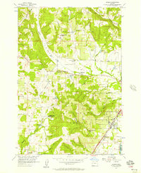 1956 Dundee1957 Print · USGSDundee and the surrounding agricultural valleys are captured here in the mid-fifties as the local railroad and school networks shaped the community. Genealogists and researchers can trace local landmarks like the Noble Cemetery, the Ribbon Ridge School, and the Trappist Abbey of Our Lady of Guadalupe.3 unique versions available
 - 1957 Map of Dayton, 1959 Print
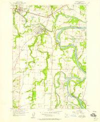 1957 Dayton1959 Print · USGSThe confluence of the Yamhill and Willamette rivers defines this fertile valley landscape during the late fifties. Genealogists and historians can trace old landings and rural landmarks like Durettes Landing, the Webfoot Grange Hall, and Grand Island Sch.4 unique versions available
 - 1958 Map of Vancouver, 1968 Print
 1958 Vancouver1968 Print · USGSThe Lower Columbia and Willamette valleys thrive in the late sixties as major rail and river hubs. Genealogists and historians can trace the development of Portland, identify the grounds of Camp Withycombe, and locate coastal landmarks from Tillamook Head to Garibaldi.3 unique versions available
 - 1964 Map of Vancouver
 1964 Vancouver1964 Print · USGSThe Pacific Northwest interior and coast are shown here in the 1960s, from the Portland metropolitan hub to the rugged Pacific shoreline. Researchers can trace the legacy of the Grand Ronde Indian Reservation, the early layout of McMinnville, and the maritime approaches near Tillamook Head.
 - 1980 Map of Yamhill River
 1980 Yamhill River1980 Print · USGSThe Oregon Coast Range and the western Willamette Valley meet in this 1980 survey, showing the landscape from the Pacific shore to the valley floor. Genealogists and historians can trace old routes like the Salmon River Highway to find the Grand Ronde Agency, Cloverdale, and Perrydale.3 unique versions available
 - 2011 Map of Dundee, 2011 Print
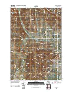 2011 Dundee2011 Print · USGSDundee and Lafayette sit at the base of the vine-covered hills in Yamhill County during the early twenty-first century. Genealogists and local historians can locate the Lafayette Pioneer Cemetery, Noble Cemetery, and several family-named landmarks like Walker Reservoir.
 - 2011 Map of Dayton, 2011 Print
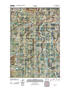 2011 Dayton2011 Print · USGSThe confluence of the Yamhill and Willamette Rivers in Yamhill County comes into focus in this early twenty-first-century survey. Trace the landings and family landmarks that define this river valley, from the Brookside Cemetery in Dayton to Weston Landing and the high Red Hills of Dundee.
 - 2014 Map of Dundee, 2014 Print
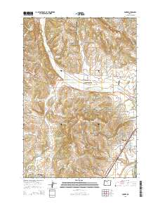 2014 Dundee2014 Print · USGSYamhill County in the early twenty-first century reveals a landscape shaped by viticulture and history between the Chehalem Mountains and the Willamette River. Genealogists can locate family landmarks at the Dundee Pioneer Cem and Lafayette Pioneer Cem.
 - 2014 Map of Dayton, 2014 Print
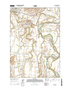 2014 Dayton2014 Print · USGSThe fertile valley at the confluence of the Yamhill and Willamette Rivers was a productive agricultural hub in the mid-2010s. Researchers can locate family burial sites at Brookside Cem or O'Dell Cem and trace the landscape from the Red Hills of Dundee to Dayton Prairie.
 - 2017 Map of Dundee, 2017 Print
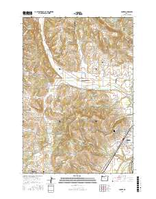 2017 Dundee2017 Print · USGSYamhill County's wine country and historic townships are captured here in the late twenty-tens, showing the established grid of Dundee and the neighboring Lafayette. Genealogists and historians can locate the Dundee Pioneer Cem and Lafayette Pioneer Cem, or trace rural water sources like Saint Josephs Reservoir and Big Spring.
 - 2017 Map of Dayton, 2017 Print
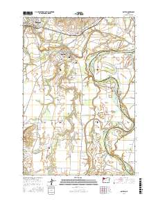 2017 Dayton2017 Print · USGSYamhill County's fertile river valley is captured here in the late 2010s, showcasing the agricultural corridors between Dayton and Lafayette. Researchers can locate historic burial grounds like Brookside Cem or trace the winding course of Lambert Slough.
 - 2020 Map of Dundee, 2020 Print
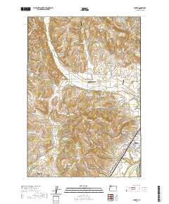 2020 Dundee2020 Print · USGSYamhill County wine country and the northern Willamette Valley are captured here just as the modern agricultural landscape was maturing. Genealogists can locate family landmarks like Noble Cem and Lafayette Pioneer Cem or trace the drainage of Chehalem Cr.
 - 2020 Map of Dayton, 2020 Print
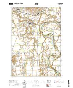 2020 Dayton2020 Print · USGSNear the confluence of the Yamhill and Willamette rivers, this recent survey shows the deeply rooted agricultural and river communities of Yamhill County. Researchers can locate family sites and local landmarks like the Independent Order of Odd Fellows Cem, Unionvale, and Lambert Bend.
 - 2023 Map of Dundee, 2023 Print
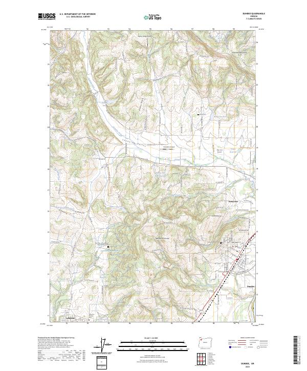 2023 Dundee2023 Print · USGSDundee and the surrounding Chehalem Valley are captured in the 2020s, showing a landscape defined by its famous red hills and small-town roots. Researchers can trace local lineage through the Dundee Pioneer Cem and Lafayette Pioneer Cem or locate the historic Our Lady of Guadalupe Trappist Abbey Cem.
 - 2024 Map of Dayton, 2024 Print
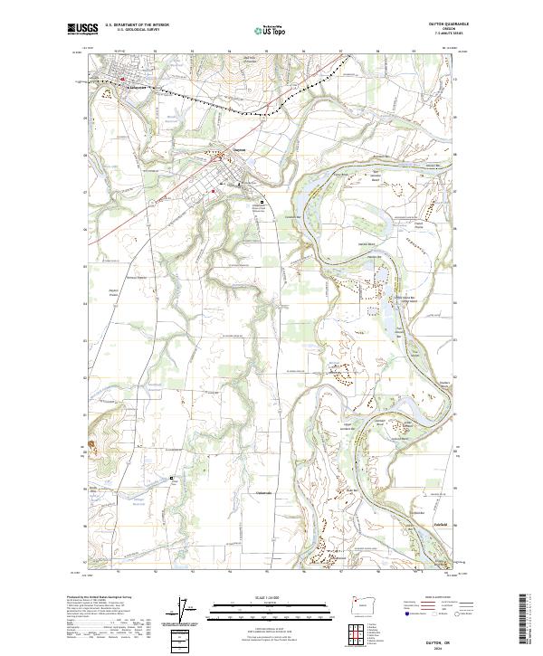 2024 Dayton2024 Print · USGSThe northern Willamette Valley comes into focus in this contemporary survey of Yamhill and Marion counties. Researchers can trace family history at Brookside Cem or locate rural landmarks like Unionvale, Fairfield, and the Red Hills of Dundee.
End of results
Showing maps 1-23 of 23
Top cities near Lafayette
- Keizer historical maps
- McMinnville historical maps
- Newberg historical maps
- Woodburn historical maps
- Dundee historical maps
- Gervais historical maps
See more
Frequently asked questions
- What are the different types of historical maps available for Lafayette?
- What is the oldest map of Lafayette?
- Where can I purchase historical maps of Lafayette for my home or office?
- Where can I download high-res historical maps of Lafayette?
- Are there historical topographic maps available for Lafayette?
- Is there historical aerial imagery available for Lafayette?
- Where are historical maps of Lafayette sourced from?