Old Maps of Rayburn Township, Pennsylvania for Hiking & Exploration
Hike through history with 24 historic maps of Rayburn Township. Explore old trails, ghost towns, and forgotten backroads — perfect for outdoor adventurers and local explorers.
- Rediscover forgotten places: Map out old mining camps, roads, and footpaths that no longer exist on modern maps.
- Layer with modern tools: Combine with LiDAR or satellite views to plan hikes through historical terrain.
- Made for exploration: Popular among hikers, overlanders, and local history lovers.
Use these maps to find adventure and explore the hidden past of Rayburn Township.
Rayburn Township, PA maps
(24)- 1900 Map of Kittanning, 1963 Print
 1900 Kittanning1963 Print · USGSThe Allegheny River valley was a bustling corridor of rail and river industry at the turn of the century. Genealogists and researchers can trace family landmarks and early industrial sites like Redbank Furnace, Laceys Store, and Buffalo Mills.
 - 1901 Map of Rural Valley, 1957 Print
 1901 Rural Valley1957 Print · USGSArmstrong County’s river valleys and iron-working hamlets are captured here at the start of the twentieth century. Researchers can trace the legacy of early industry at Mahoning Furnace or follow the path of the Pennsylvania R.R. through Templeton.2 unique versions available
 - 1902 Map of Kittanning
 1902 Kittanning1902 Print · USGSThe Allegheny River corridor at the start of the twentieth century shows a region shaped by heavy rail and early industry. Trace family roots and old commercial sites like Redbank Furnace, East Brady, and the milling hub at Worthington.6 unique versions available
 - 1903 Map of Rural Valley
 1903 Rural Valley1903 Print · USGSArmstrong County at the dawn of the twentieth century shows a landscape defined by iron furnaces and winding river valleys. Genealogists can trace family roots in early settlements like Templeton, Goheenville, and Putneyville or locate landmarks such as Mahoning Furnace and Stone House.6 unique versions available
 - 1953 Map of Pittsburgh
 1953 Pittsburgh1953 Print · USGSWestern Pennsylvania's industrial landscape at the start of the fifties shows the steel and rail corridors between Pittsburgh and Altoona. Trace family roots in river towns like Tarentum or follow the Pennsylvania Turnpike across Laurel Hill.
 - 1954 Map of Pittsburgh
 1954 Pittsburgh1954 Print · USGSWestern Pennsylvania in the early fifties remains a powerhouse of heavy industry and vital transit corridors. Genealogists and historians can trace the rail-and-river network connecting Pittsburgh, Johnstown, and Altoona via the Pennsylvania RR and the Lincoln Highway.2 unique versions available
 - 1958 Map of Pittsburgh
 1958 Pittsburgh1958 Print · USGSWestern Pennsylvania in the late fifties shows an industrial heartland defined by the confluence of the Allegheny River and Monongahela River. Researchers can trace the sprawling rail networks of the Pennsylvania RR and find established towns like Butler, Latrobe, and Windber.5 unique versions available
 - 1958 Map of Kittanning, 1959 Print
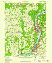 1958 Kittanning1959 Print · USGSArmstrong County’s industrial river valley thrives in the late fifties, dominated by the manufacturing hubs and rail networks of the Allegheny. Researchers can trace family history through sites like Salem Ch, the Appleby Manor Ch, and the neighborhoods of McGrann and Tarrtown.4 unique versions available
 - 1959 Map of Pittsburgh
 1959 Pittsburgh1959 Print · USGSWestern Pennsylvania in the late fifties is captured here at the height of its industrial era. Genealogists and historians can trace the riverfront growth of Pittsburgh, the rail works at Altoona, and the mountain gaps of Laurel Hill.
 - 1964 Map of Pittsburgh
 1964 Pittsburgh1964 Print · USGSWestern Pennsylvania in the late fifties and early sixties shows a landscape of powerful river industries and expanding highways. Genealogists and historians can trace the rail corridors of the Pennsylvania RR through industrial hubs like Johnstown, Altoona, and Nanty Glo.
 - 1968 Map of Mosgrove, 1972 Print
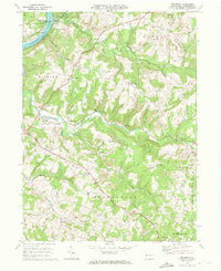 1968 Mosgrove1972 Print · USGSArmstrong County in the late 1960s shows a landscape of rail-and-river transport and burgeoning energy extraction. Trace ancestral roots through rural sites like Rupp Cem, Pine Furnace, and the old Township Sch near Sunnyside.4 unique versions available
 - 1983 Map of Indiana
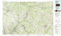 1983 Indiana1983 Print · USGSWestern Pennsylvania in the early eighties shows a landscape of industrial river towns and expanding university campuses. Genealogists can trace family roots through Lucernemines and Spring Church, or locate ancestors in Oakland Cemetery.
 - 1993 Map of Kittanning
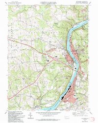 1993 Kittanning1993 Print · USGSArmstrong County in the 1990s was a landscape shaped by the Allegheny River and a legacy of industry. Genealogists and historians can trace family roots through numerous sites like Lawnheaven Cem, Wick City, and the St Pauls Monastery.
 - 1998 Map of Kittanning, 2000 Print
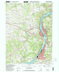 1998 Kittanning2000 Print · USGSArmstrong County’s riverfront industrial corridor is captured here at the end of the century, showing the tight-knit settlements along the Allegheny. Researchers can trace local roots through St Pauls Monastery, Dog Town, and Holy Trinity Cem.
 - 2010 Map of Kittanning, 2010 Print
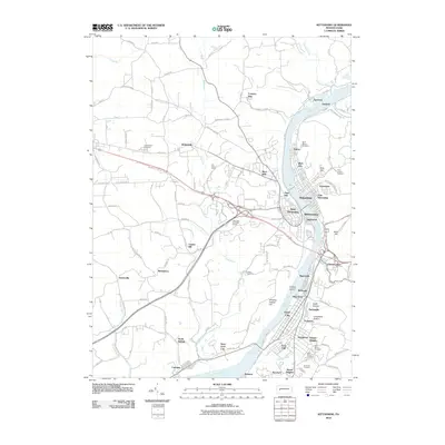 2010 Kittanning2010 Print · USGSThe industrial corridor of the Allegheny River comes into sharp focus during the early twenty-first century. Genealogists and local historians can trace family plots in Saint Joseph Cemetery or locate old neighborhood boundaries in Wick City, McGrann, and Dog Town.
 - 2010 Map of Mosgrove, 2010 Print
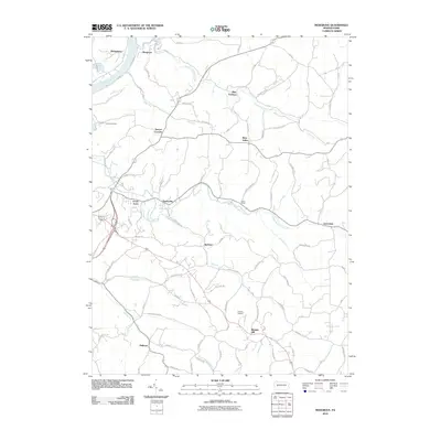 2010 Mosgrove2010 Print · USGSThe rural uplands of Armstrong County and the Allegheny River corridor are captured here in the early twenty-first century. Genealogists and local historians can trace family-named sites and settlements like Pine Furnace, Blanket Hill, and McNees.
 - 2013 Map of Mosgrove, 2013 Print
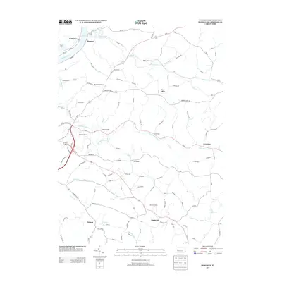 2013 Mosgrove2013 Print · USGSArmstrong County’s river valleys and rural crossroads are captured here in the early 2010s. Researchers can trace the heritage of small settlements from the banks of the Allegheny River to inland locales like Pine Furnace and Blanket Hill.
 - 2013 Map of Kittanning, 2013 Print
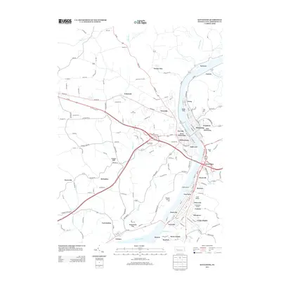 2013 Kittanning2013 Print · USGSArmstrong County's riverfront communities are documented here in the early twenty-first century as they line the Allegheny River. Researchers can trace local neighborhoods and land features from Wick City and Dog Town to the rural grounds of the Girl Scout Camp.
 - 2016 Map of Mosgrove, 2016 Print
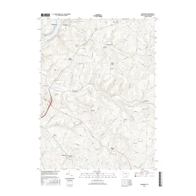 2016 Mosgrove2016 Print · USGSArmstrong County in the mid-2010s shows a landscape of river-valley settlements and rural churchyards. Researchers can trace family history at the Heilman settlement, Blanket Hill, or burial sites like the Simpson Church Cem and Rupp Lutheran Church Cem.
 - 2016 Map of Kittanning, 2016 Print
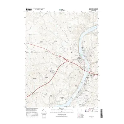 2016 Kittanning2016 Print · USGSArmstrong County's riverfront communities are captured here in the mid-2010s, showing the enduring layout of the Allegheny corridor. Researchers can trace local heritage through numerous sites like Kittanning Cem, Cadogan, and the Center Hill Church of the Brethren Cem.
 - 2019 Map of Mosgrove, 2019 Print
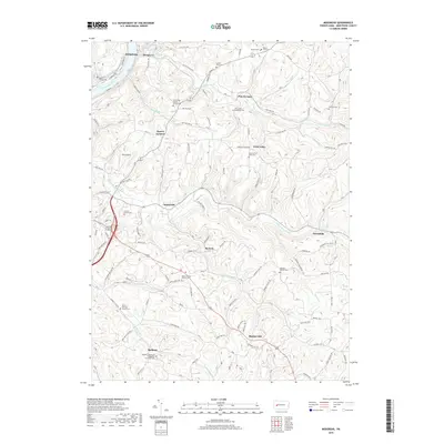 2019 Mosgrove2019 Print · USGSArmstrong County is mapped here in the late twenty-teens, showing the winding valleys and ridge-top settlements of the Allegheny plateau. Researchers can locate numerous historic burial sites and rural communities like Blanket Hill, Pine Furnace, and the Rupp Lutheran Church Cem.
 - 2019 Map of Kittanning, 2019 Print
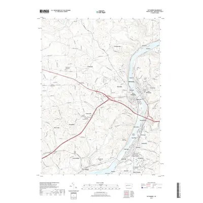 2019 Kittanning2019 Print · USGSThe Allegheny River valley serves as the industrial and civic heart of Armstrong County in the late twenty-teens. Researchers can trace family history through the Armstrong County Courthouse or several local cemeteries like Kittanning Cem and Bonner Cem.
 - 2023 Map of Mosgrove, 2023 Print
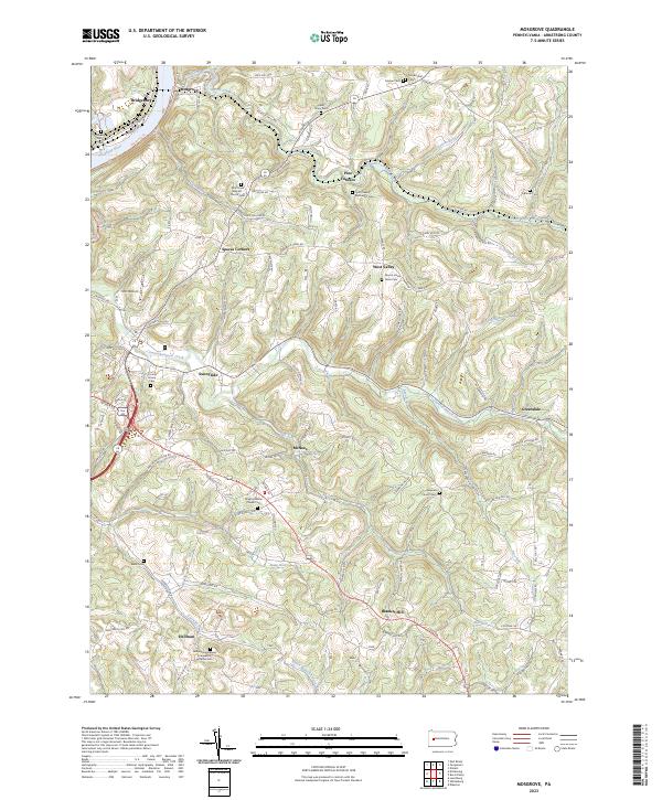 2023 Mosgrove2023 Print · USGSThe hill country of Armstrong County is seen here in recent detail, where winding creek valleys meet a dense network of country roads. Genealogists can trace family roots through numerous rural landmarks like Mount Union Davis Cem, Blanket Hill, and Pine Furnace.
 - 2023 Map of Kittanning, 2023 Print
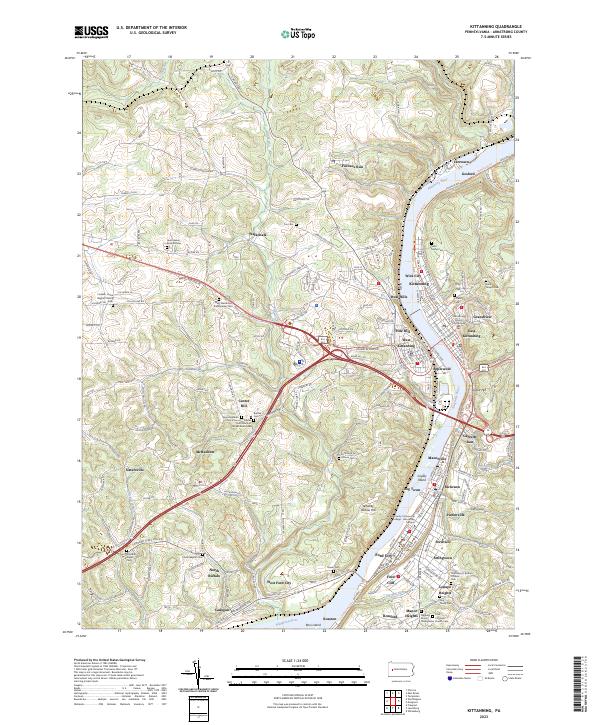 2023 Kittanning2023 Print · USGSThe Allegheny River valley comes into sharp focus during this modern era, showing the dense settlement patterns from Kittanning to Ford City. Researchers can trace local heritage through sites like the Armstrong County Courthouse and numerous burial grounds including Saint Marys Cem and Lawn Haven Burial Estates.
End of results
Showing maps 1-24 of 24
Top cities near Rayburn Township
- Lower Burrell historical maps
- Harrison Township historical maps
- Kittanning historical maps
- Ford City historical maps
- North Buffalo Township historical maps
- Leechburg historical maps
See more
Top neighborhoods of Rayburn Township
- Spaces Corners historical maps
- Sunnyside historical maps
- Grandview historical maps
- Green Acres historical maps
- Gosford historical maps
- Mosgrove historical maps
Frequently asked questions
- What are the different types of historical maps available for Rayburn Township?
- What is the oldest map of Rayburn Township?
- Where can I purchase historical maps of Rayburn Township for my home or office?
- Where can I download high-res historical maps of Rayburn Township?
- Are there historical topographic maps available for Rayburn Township?
- Is there historical aerial imagery available for Rayburn Township?
- Where are historical maps of Rayburn Township sourced from?