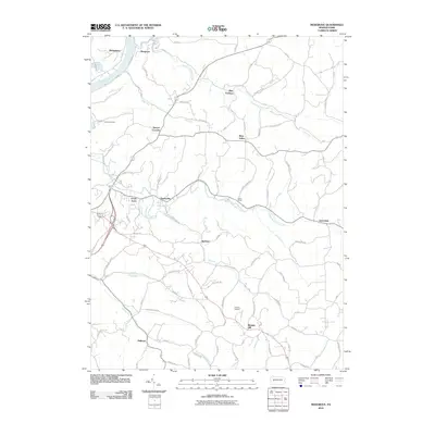
2010 Map of Mosgrove
USGS Topo · Published 2010About this map
Pine Furnace and the winding Allegheny River define the northern corridor of this landscape in Armstrong County. The settlement pattern reflects the area's industrial and agricultural history, with clusters of development at Mosgrove and Green Acres transitioning into the rural highlands of Heilman. A dense network of local roads, including Smeltzers Flat Rd and Rupp Church Rd, connects these small communities and family-named hollows like Cravener Holw.
Find a feature on this map
90 named features on this map. Tap any name to fly to it.
Don’t see what you’re looking for? This feature index may not catch every label — zoom into the map to look around manually.
Map Details
Editions of this 2010 Mosgrove Map
This is the sole edition of this map. No revisions or reprints were ever made.
Other maps of this area

1900 · Kittanning
USGS Topo · 1:62,500

1901 · Rural Valley
USGS Topo · 1:62,500

1902 · Kittanning
USGS Topo · 1:62,500

1902 · Elders Ridge
USGS Topo · 1:62,500

1903 · Rural Valley
USGS Topo · 1:62,500

1904 · Elders Ridge
USGS Topo · 1:62,500

1907 · Freeport
USGS Topo · 1:62,500

1909 · Freeport
USGS Topo · 1:62,500

1953 · Pittsburgh
USGS Topo · 1:250,000

1954 · Pittsburgh
USGS Topo · 1:250,000