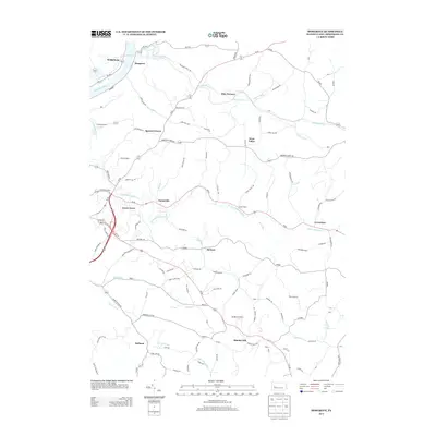
2013 Map of Mosgrove
USGS Topo · Published 2013About this map
The Allegheny River defines the western edge of this Armstrong County landscape, where the settlements of Bridgeburg and Mosgrove overlook the water. Moving inland, the terrain is defined by a dense network of winding creeks and runs, including Cowanshannock Cr and Pine Cr, which have historically shaped the placement of local roads and small communities. These namesake watercourses supported early industrial efforts such as Pine Furnace and the agricultural hub at Greendale.
Find a feature on this map
98 named features on this map. Tap any name to fly to it.
Don’t see what you’re looking for? This feature index may not catch every label — zoom into the map to look around manually.
Map Details
Editions of this 2013 Mosgrove Map
This is the sole edition of this map. No revisions or reprints were ever made.
Other maps of this area

1900 · Kittanning
USGS Topo · 1:62,500

1901 · Rural Valley
USGS Topo · 1:62,500

1902 · Kittanning
USGS Topo · 1:62,500

1902 · Elders Ridge
USGS Topo · 1:62,500

1903 · Rural Valley
USGS Topo · 1:62,500

1904 · Elders Ridge
USGS Topo · 1:62,500

1907 · Freeport
USGS Topo · 1:62,500

1909 · Freeport
USGS Topo · 1:62,500

1953 · Pittsburgh
USGS Topo · 1:250,000

1954 · Pittsburgh
USGS Topo · 1:250,000