Old Maps of Caernarvon Township, Pennsylvania
Explore 25 old maps of Caernarvon Township, spanning from 1905 to today. These high-resolution historic maps reveal how streets, neighborhoods, landmarks, and natural features evolved over time — perfect for genealogy, metal detecting, research, and local history exploration.
What you can do with these maps:
- See how Caernarvon Township changed over time: Compare historical maps to modern-day views to trace roads, homesites, rail lines & more.
- View detailed metadata: Each map includes creators, publishers, year, scale, and archive source.
- Overlay maps with satellite & LiDAR: Visualize the past alongside modern tools to explore terrain & human change.
- Trusted historical sources: Maps sourced from the USGS, Library of Congress, and other archives.
- Access maps your way: View online, download high-res files, or order prints for personal or research use.
Start exploring old maps of Caernarvon Township to uncover forgotten places, hidden landmarks, and the deep history beneath your feet.
Caernarvon Township, PA maps
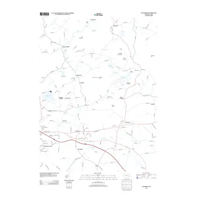
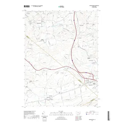
(25)- 1905 Map of Honey Brook, 1962 Print
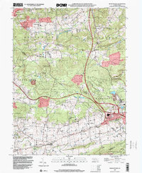
 1905 Honey Brook1962 Print · USGSSoutheastern Pennsylvania at the start of the twentieth century shows a landscape shaped by iron furnaces and a dense rail network. Genealogists can trace family footprints at Joanna Furnace, Hummels Store, and numerous rural sites like Silver Hill School.
 - 1907 Map of Honeybrook
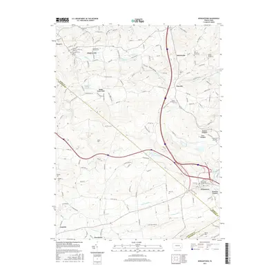
 1907 Honeybrook1907 Print · USGSSoutheast Pennsylvania at the start of the twentieth century shows a landscape defined by small hamlets and early rail lines. Genealogists can trace family names and local hubs from Honeybrook and Churchtown to rural landmarks like Spoketown School and Harmony Church.7 unique versions available
 - 1941 Map of Honeybrook
 1941 Honeybrook1941 Print · USGSSoutheastern Pennsylvania at the onset of the Second World War shows a landscape of established farm communities and the newly cut path of the Pennsylvania Turnpike. Researchers can locate numerous local landmarks such as Silver Hill School, Stone Church, and the rail stops along the Reading Lines.
 - 1944 Map of Newark, 1971 Print
 1944 Newark1971 Print · USGSThe industrial corridor from Philadelphia to New York was in a period of massive transition during the mid-forties. Genealogists and researchers can trace the rail lines of the Lehigh Valley RR, locate military installations like Picatinny Arsenal, and explore the early sprawl near Levittown.5 unique versions available
 - 1949 Map of Newark
 1949 Newark1949 Print · USGSThe industrial corridor between Philadelphia and New York comes alive in this post-war survey. Genealogists and historians can trace the massive rail networks of the Reading Railroad and locate major installations like Fort Dix or Picatinny Arsenal.2 unique versions available
 - 1954 Map of Elverson, 1970 Print
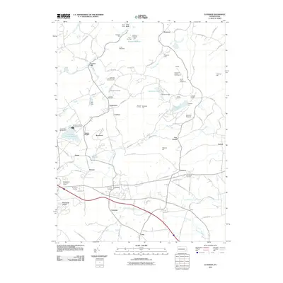
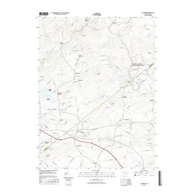
 1954 Elverson1970 Print · USGSBerks and Chester counties are captured here in the mid-fifties, showing the intersection of colonial history and modern transit. Trace old family sites near Geigertown, Joanna Heights, and churches like Bethesda Ch or Ebenezer Ch.
 - 1956 Map of Newark
 1956 Newark1956 Print · USGSThe industrial heart of the Mid-Atlantic is captured here at the dawn of the highway era, tracing the dense corridors between Newark and Philadelphia. Genealogists and local historians can map the rail networks of the Reading RR or locate mid-century military life at Fort Dix Military Reservation.2 unique versions available
 - 1956 Map of Elverson, 1957 Print
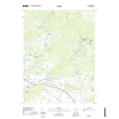
 1956 Elverson1957 Print · USGSThe Berks and Chester County borderlands come into focus in the mid-fifties, balancing industrial rail history with emerging state parklands. Researchers can trace family roots at Springfield Cem, locate Hause Sch, and explore the grounds of Hopewell Village.6 unique versions available
 - 1956 Map of Morgantown, 1957 Print
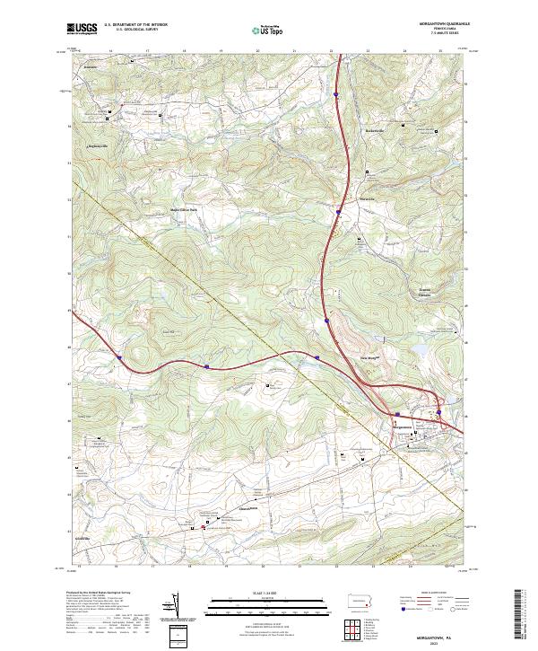
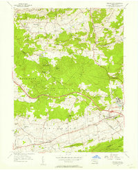 1956 Morgantown1957 Print · USGSMid-century southeastern Pennsylvania is captured here at a crossroads of industry and agriculture. Genealogists and historians can trace family locations near Joanna Furnace, find old rural schools like Smoketown Sch, and locate the Grace Mine operations.6 unique versions available
 - 1957 Map of Newark
 1957 Newark1957 Print · USGSThe industrial and military heart of the Mid-Atlantic is mapped during its post-war suburban boom. Genealogists and historians can trace the intricate rail corridors of the Reading Railroad and locate key landmarks from Princeton University to Fort Hancock.
 - 1960 Map of Newark
 1960 Newark1960 Print · USGSThe industrial heart of the Mid-Atlantic is shown at mid-century, stretching from the dense urban centers of Newark and Philadelphia to the Blue Mountain ridges. Researchers can trace historic rail lines, coastal defenses at Fort Hancock, and the riverfront growth of Trenton and Easton.3 unique versions available
 - 1964 Map of Newark
 1964 Newark1964 Print · USGSGreater New Jersey and eastern Pennsylvania appear at the peak of their industrial and rail-centered development in the mid-sixties. Genealogists and historians can trace the paths of the Pennsylvania RR, identify mid-century landmarks like CAMP KILMER, or follow the Schuylkill River through READING.2 unique versions available
 - 1984 Map of Reading, 1986 Print
 1984 Reading1986 Print · USGSSoutheastern Pennsylvania in the mid-eighties shows a landscape of established industrial hubs and rapid suburban expansion. Trace local history through landmarks like Valley Forge National Historical Park, the Willow Grove Naval Air Station, and Kutztown University.2 unique versions available
 - 1997 Map of Elverson, 1998 Print
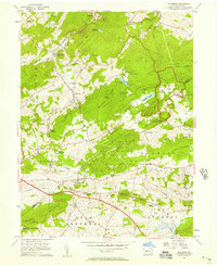
 1997 Elverson1998 Print · USGSSoutheast Pennsylvania's iron heritage and wooded ridges are preserved here in the late twentieth century. Genealogists and historians can trace family roots through sites like Scarlets Mill, Bethesda Ch, and the preserved Hopewell Village.
 - 1999 Map of Morgantown, 2001 Print
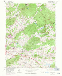
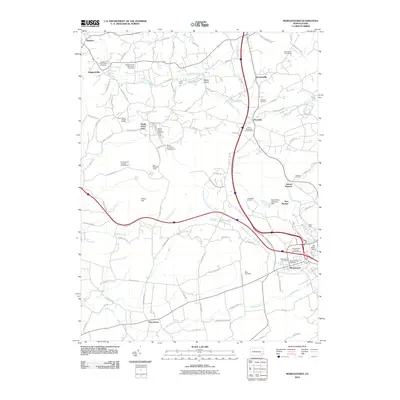
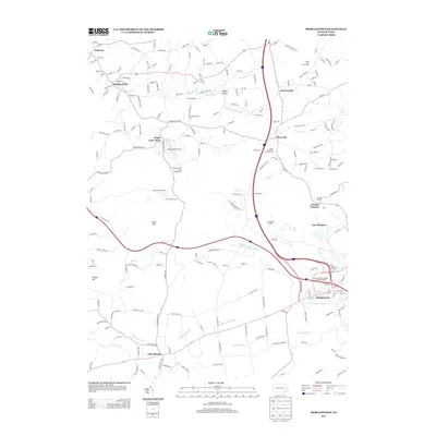
 1999 Morgantown2001 Print · USGSThe Pennsylvania countryside at the end of the century shows a blend of rural heritage and industrial sites where Berks, Lancaster, and Chester counties meet. Researchers can trace family sites from Grace Mine to Churchtown, including local landmarks like Joanna Furnace and Hummels Store.
 - 2010 Map of Morgantown, 2010 Print
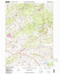
 2010 Morgantown2010 Print · USGSCovers Caernarvon Township, including East Earl Township, New Morgan, and other nearby areas
 - 2010 Map of Elverson, 2010 Print
 2010 Elverson2010 Print · USGSCovers Caernarvon Township, including Warwick Township, East Nantmeal Township, and other nearby areas
 - 2013 Map of Morgantown, 2013 Print
 2013 Morgantown2013 Print · USGSCovers Caernarvon Township, including East Earl Township, New Morgan, and other nearby areas
 - 2013 Map of Elverson, 2013 Print
 2013 Elverson2013 Print · USGSCovers Caernarvon Township, including Warwick Township, East Nantmeal Township, and other nearby areas
 - 2016 Map of Morgantown, 2016 Print
 2016 Morgantown2016 Print · USGSCovers Caernarvon Township, including East Earl Township, New Morgan, and other nearby areas
 - 2016 Map of Elverson, 2016 Print
 2016 Elverson2016 Print · USGSCovers Caernarvon Township, including Warwick Township, East Nantmeal Township, and other nearby areas
 - 2019 Map of Elverson, 2019 Print
 2019 Elverson2019 Print · USGSCovers Caernarvon Township, including Warwick Township, East Nantmeal Township, and other nearby areas
 - 2019 Map of Morgantown, 2019 Print
 2019 Morgantown2019 Print · USGSCovers Caernarvon Township, including East Earl Township, New Morgan, and other nearby areas
 - 2023 Map of Morgantown, 2023 Print
 2023 Morgantown2023 Print · USGSMorgantown and the Conestoga River headwaters are captured here in a landscape defined by deep religious and industrial roots. Genealogists can trace family burial sites like Mast Cem and Bangor Episcopal Cem near Churchtown.
 - 2023 Map of Elverson, 2023 Print
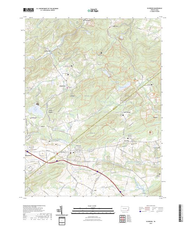 2023 Elverson2023 Print · USGSElverson and the Berks-Chester county line are captured here in the early twenty-first century, showing the intersection of industrial heritage and rural growth. Genealogists can locate family burial sites at Mount Frisby Church Graveyard and Saint James Cem while tracing the waters of Hay Creek.
End of results
Showing maps 1-25 of 25
Top cities near Caernarvon Township
- Reading historical maps
- Pottstown historical maps
- Muhlenberg Park historical maps
- Coatesville historical maps
- Caln Township historical maps
- Wyomissing historical maps
See more
Top neighborhoods of Caernarvon Township
Frequently asked questions
- What are the different types of historical maps available for Caernarvon Township?
- What is the oldest map of Caernarvon Township?
- Where can I purchase historical maps of Caernarvon Township for my home or office?
- Where can I download high-res historical maps of Caernarvon Township?
- Are there historical topographic maps available for Caernarvon Township?
- Is there historical aerial imagery available for Caernarvon Township?
- Where are historical maps of Caernarvon Township sourced from?