Old Maps of Hamburg, Pennsylvania for Metal Detecting
Plan your next treasure hunt with 31 historic maps of Hamburg. Find old homesites, ghost towns, trails, and gathering spots that may be lost to time — perfect for identifying promising metal detecting locations.
- Locate forgotten sites: Uncover places like long-lost settlements, abandoned rail lines, or gathering spots.
- Plan better hunts: Use map overlays combined with LiDAR or satellite views to narrow in on historically rich areas.
- Made for detectorists: Thousands of hobbyists use these maps to discover relics, coins, and hidden history.
Use these historic maps to boost your research and find new opportunities beneath the surface of Hamburg.
Hamburg, PA maps
(31)- 1889 Map of Pottsville, 1964 Print
 1889 Pottsville1964 Print · USGSAnthracite coal country and the complex rail networks of the late nineteenth century dominate this survey of the Schuylkill River valley. Genealogists and industrial historians can trace the early footprints of Pottsville, Schuylkill Haven, and the numerous rail branches serving New Philadelphia and Port Carbon.
 - 1891 Map of Pottsville
 1891 Pottsville1891 Print · USGSSchuylkill County enters its industrial height in the 1890s, when anthracite coal and iron rails reshaped the mountains. Trace the dense rail networks of the Philadelphia and Reading Railroad connecting Pottsville, St. Clair, and Schuylkill Haven.10 unique versions available
 - 1909 Map of Hamburg, 1957 Print
 1909 Hamburg1957 Print · USGSSchuylkill and Berks counties are captured here during the height of the steam era, showing the intricate relationship between the mountain gaps and the rail lines. Genealogists and researchers can trace old postal routes through Wessnersville Stony Run P O, locate the historic Five Locks, and identify family farms near Crystal Cave.
 - 1911 Map of Hamburg
 1911 Hamburg1911 Print · USGSBerks and Schuylkill counties are captured here at a peak of rail-driven rural life just before the Great War. Researchers can trace family roots through specific locales like New Ringgold, Dorset Sta, and the historic Five Locks along the Schuylkill River.5 unique versions available
 - 1944 Map of Newark, 1971 Print
 1944 Newark1971 Print · USGSThe industrial corridor from Philadelphia to New York was in a period of massive transition during the mid-forties. Genealogists and researchers can trace the rail lines of the Lehigh Valley RR, locate military installations like Picatinny Arsenal, and explore the early sprawl near Levittown.5 unique versions available
 - 1945 Map of Auburn, 1958 Print
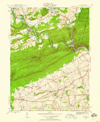 1945 Auburn1958 Print · USGSMid-century Berks and Schuylkill counties are defined here by the industrial corridor of the Schuylkill River and the high ridge of Blue Mountain. Trace ancestral roots at St Michaels Ch or locate vanished local schools like Jefferson Sch and Mangel Sch.6 unique versions available
 - 1946 Map of Auburn
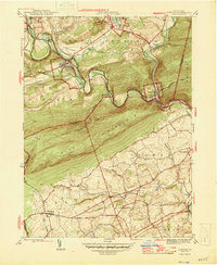 1946 Auburn1946 Print · USGSSchuylkill and Berks counties met at the river gap during the mid-forties, where heavy rail and the mountain ridge defined local life. Genealogists can locate family-named schools like Mangel Sch and Jefferson Sch or trace the Appalachian Trail past Port Clinton.2 unique versions available
 - 1949 Map of Newark
 1949 Newark1949 Print · USGSThe industrial corridor between Philadelphia and New York comes alive in this post-war survey. Genealogists and historians can trace the massive rail networks of the Reading Railroad and locate major installations like Fort Dix or Picatinny Arsenal.2 unique versions available
 - 1950 Map of Harrisburg, 1952 Print
 1950 Harrisburg1952 Print · USGSMid-century Central Pennsylvania comes alive through its dense rail networks and river valley settlements during the post-war industrial era. Genealogists and historians can trace family roots through hubs like Harrisburg, locate Carlisle Barracks, or follow the Pennsylvania RR through the Lebanon Valley.
 - 1956 Map of Newark
 1956 Newark1956 Print · USGSThe industrial heart of the Mid-Atlantic is captured here at the dawn of the highway era, tracing the dense corridors between Newark and Philadelphia. Genealogists and local historians can map the rail networks of the Reading RR or locate mid-century military life at Fort Dix Military Reservation.2 unique versions available
 - 1956 Map of Hamburg, 1957 Print
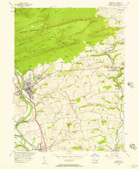 1956 Hamburg1957 Print · USGSBerks County is captured here in the mid-1950s, where the industrial valley of the Schuylkill River meets the ridge of Blue Mountain. Genealogists and researchers can find Five Locks, the Hamburg Tuberculosis Sanatorium, and local schools like Heinly Sch.10 unique versions available
 - 1956 Map of Hamburg, 1960 Print
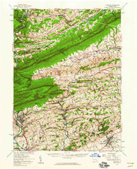 1956 Hamburg1960 Print · USGSPennsylvania's ridge-and-valley country comes to life in the mid-fifties, from the Schuylkill River to the Lehigh border. Genealogists and hikers can trace the Appalachian Trail over Blue Mountain or locate family roots near New Bethel Ch and Crystal Cave.2 unique versions available
 - 1957 Map of Harrisburg
 1957 Harrisburg1957 Print · USGSMid-century Central Pennsylvania comes into focus as a bustling network of rail, river, and mountain ridges. Genealogists and historians can trace the development of the State Capitol and surrounding hubs like Middletown, Columbia, and Pottsville.7 unique versions available
 - 1957 Map of Newark
 1957 Newark1957 Print · USGSThe industrial and military heart of the Mid-Atlantic is mapped during its post-war suburban boom. Genealogists and historians can trace the intricate rail corridors of the Reading Railroad and locate key landmarks from Princeton University to Fort Hancock.
 - 1960 Map of Newark
 1960 Newark1960 Print · USGSThe industrial heart of the Mid-Atlantic is shown at mid-century, stretching from the dense urban centers of Newark and Philadelphia to the Blue Mountain ridges. Researchers can trace historic rail lines, coastal defenses at Fort Hancock, and the riverfront growth of Trenton and Easton.3 unique versions available
 - 1961 Map of Harrisburg
 1961 Harrisburg1961 Print · USGSCentral Pennsylvania is shown at a mid-century peak of industrial and military activity, from the Susquehanna water gaps to the fertile Dutch Country. Genealogists and historians can trace the rail corridors of the Pennsylvania RR and find landmarks like Carlisle Barracks or the Anthracite Coal Fields.2 unique versions available
 - 1964 Map of Newark
 1964 Newark1964 Print · USGSGreater New Jersey and eastern Pennsylvania appear at the peak of their industrial and rail-centered development in the mid-sixties. Genealogists and historians can trace the paths of the Pennsylvania RR, identify mid-century landmarks like CAMP KILMER, or follow the Schuylkill River through READING.2 unique versions available
 - 1964 Map of Harrisburg
 1964 Harrisburg1964 Print · USGSCentral Pennsylvania in the mid-fifties reveals a landscape shaped by ridge-and-valley geology and critical Cold War infrastructure. Researchers can trace the massive Indiantown Gap Military Reservation or the rail corridors of the Pennsylvania RR and Reading RR.
 - 1984 Map of Allentown, 1985 Print
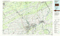 1984 Allentown1985 Print · USGSThe Lehigh Valley and southern Poconos are captured in the mid-eighties as industry and academic life converge along the river corridor. Trace the rail-and-water networks connecting Jim Thorpe and Bethlehem, or explore landmarks like Lehigh University and the Delaware Water Gap.3 unique versions available
 - 1984 Map of Sunbury, 1985 Print
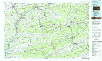 1984 Sunbury1985 Print · USGSPennsylvania coal country and the Susquehanna valley appear here in the early eighties, showcasing a landscape defined by industrial ridges and river towns. Genealogists and historians can trace rail corridors like Conrail and explore mountain settlements from Mahanoy City to Elizabethville.2 unique versions available
 - 1999 Map of Auburn, 2001 Print
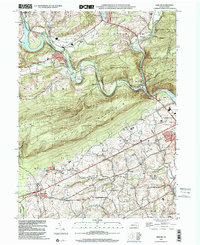 1999 Auburn2001 Print · USGSSchuylkill and Berks counties met at the turn of the millennium along the steep ridges of Blue Mountain and the winding river valleys. Researchers can trace rural schoolhouse locations like Tunnel Sch and historic local congregations at Salem Ch or St Michaels Ch.
 - 2010 Map of Auburn, 2010 Print
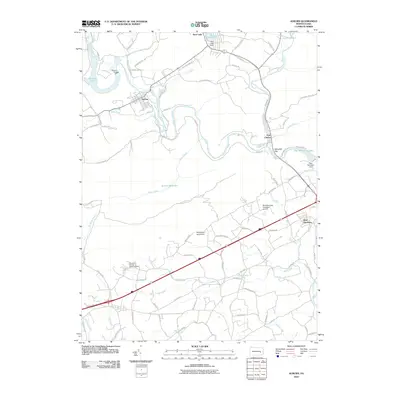 2010 Auburn2010 Print · USGSSchuylkill County and Berks County landscapes are defined by the river’s path and the ridges of the Blue Mountain range in the early twenty-first century. Researchers can trace local landmarks like Port Clinton, the Auburn Dam, and the Windswept Aerodrome.
 - 2010 Map of Hamburg, 2010 Print
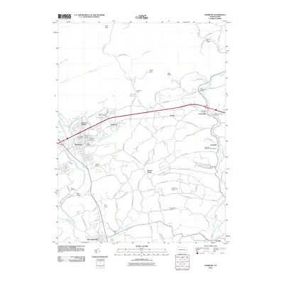 2010 Hamburg2010 Print · USGSBerks County's industrial and agricultural roots are on display in this 2010 study of the Schuylkill River valley. Trace local heritage through landmarks like the Dreibelbis Station Covered Bridge, the Dreibelbis Mill, and the historic Five Locks.
 - 2013 Map of Hamburg, 2013 Print
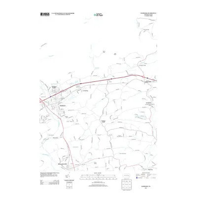 2013 Hamburg2013 Print · USGSHamburg and the Schuylkill River valley appear here in the early twenty-first century, showing a landscape shaped by river transport and mountain terrain. Researchers can trace historic river crossings and local landmarks like the Dreibelbis Station Covered Bridge, Five Locks, and Berne Speedway.
 - 2013 Map of Auburn, 2013 Print
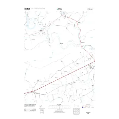 2013 Auburn2013 Print · USGSSoutheastern Pennsylvania's river corridors are caught here in the early twenty-first century as the waters of the Schuylkill River meet at the Schuylkill Gap. Researchers can trace the layout of historic valley settlements like Port Clinton, Auburn, and Shartlesville.
Showing maps 1-25 of 31
Top cities near Hamburg
- Reading historical maps
- Muhlenberg Park historical maps
- Pottsville historical maps
- Maxatawny Township historical maps
- Tamaqua historical maps
- Schuylkill Haven historical maps
See more
Frequently asked questions
- What are the different types of historical maps available for Hamburg?
- What is the oldest map of Hamburg?
- Where can I purchase historical maps of Hamburg for my home or office?
- Where can I download high-res historical maps of Hamburg?
- Are there historical topographic maps available for Hamburg?
- Is there historical aerial imagery available for Hamburg?
- Where are historical maps of Hamburg sourced from?