2000s (21st Century) Maps of Maxatawny Township, Pennsylvania
Explore 20 historic maps of Maxatawny Township from the 2000s (21st Century). These maps offer a rare glimpse into what life looked like during the 2000s — showing old roads, neighborhoods, homes, and landmarks that have changed or disappeared over time.
Whether you're researching your family's past, planning a metal detecting trip, or studying how Maxatawny Township's landscape evolved across the 2000s, these high-resolution maps are a powerful tool for exploring the history of this region.
- Focus on a specific era: All maps on this page are from the 2000s, giving you a focused view of this time period.
- See what’s changed: Compare century-old streets, trails, and buildings to today's modern landscape using overlays and satellite layers.
- Research with precision: Use these maps for genealogy, historical research, land use analysis, or educational projects.
- View, download, or print: Maps are fully viewable online in high resolution, and can be downloaded or printed for your own records.
Start exploring Maxatawny Township's history through authentic maps from the 2000s. This is your window into the past.
Maxatawny Township, PA maps
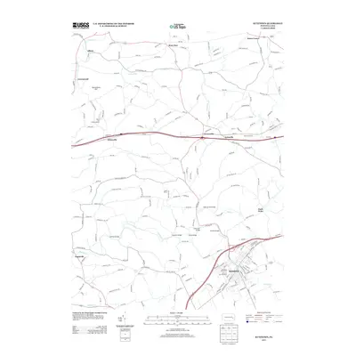
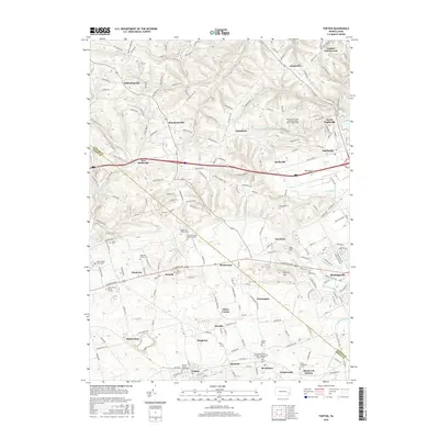
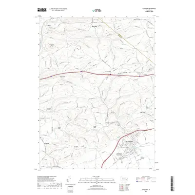
(20)- 2010 Map of Topton, 2010 Print
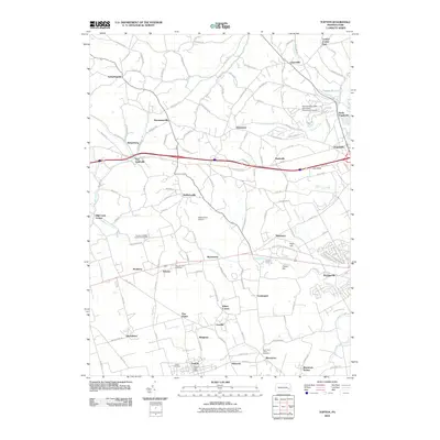 2010 Topton2010 Print · USGSCovers Maxatawny Township, including Longswamp Township, Weisenberg Township, and other nearby areas
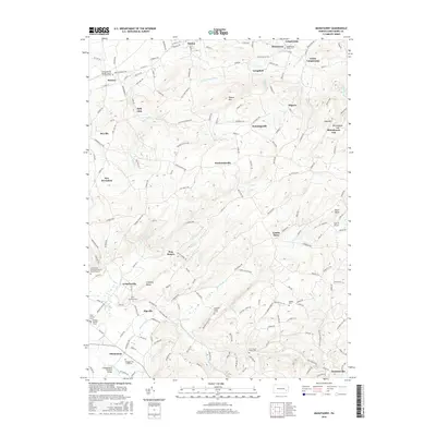
 - 2010 Map of Manatawny, 2010 Print
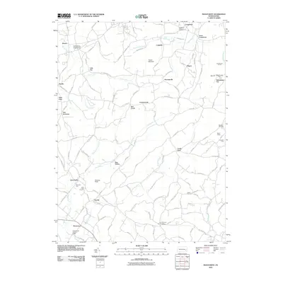 2010 Manatawny2010 Print · USGSCovers Maxatawny Township, including Longswamp Township, Oley Township, and other nearby areas
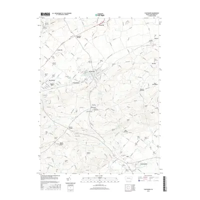
 - 2010 Map of Kutztown, 2010 Print
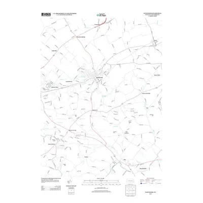
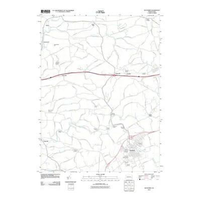 2010 Kutztown2010 Print · USGSCovers Maxatawny Township, including Kutztown, Weisenberg Township, and other nearby areas
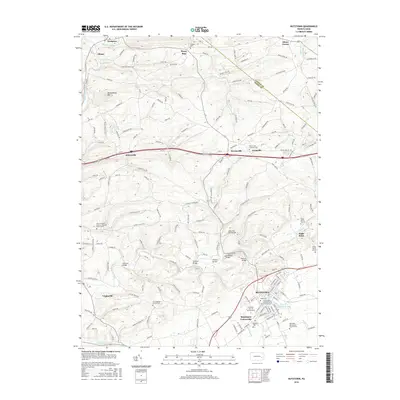
 - 2010 Map of Fleetwood, 2010 Print
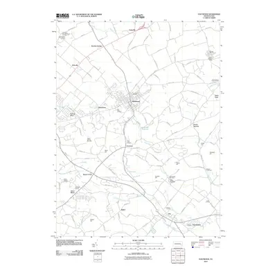 2010 Fleetwood2010 Print · USGSCovers Maxatawny Township, including Fleetwood, Oley Township, and other nearby areas
 - 2013 Map of Fleetwood, 2013 Print
 2013 Fleetwood2013 Print · USGSCovers Maxatawny Township, including Fleetwood, Oley Township, and other nearby areas
 - 2013 Map of Manatawny, 2013 Print
 2013 Manatawny2013 Print · USGSCovers Maxatawny Township, including Longswamp Township, Oley Township, and other nearby areas
 - 2013 Map of Kutztown, 2013 Print
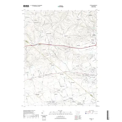
 2013 Kutztown2013 Print · USGSCovers Maxatawny Township, including Kutztown, Weisenberg Township, and other nearby areas
 - 2013 Map of Topton, 2013 Print
 2013 Topton2013 Print · USGSCovers Maxatawny Township, including Longswamp Township, Weisenberg Township, and other nearby areas
 - 2016 Map of Topton, 2016 Print
 2016 Topton2016 Print · USGSCovers Maxatawny Township, including Longswamp Township, Weisenberg Township, and other nearby areas
 - 2016 Map of Manatawny, 2016 Print
 2016 Manatawny2016 Print · USGSCovers Maxatawny Township, including Longswamp Township, Oley Township, and other nearby areas
 - 2016 Map of Fleetwood, 2016 Print
 2016 Fleetwood2016 Print · USGSCovers Maxatawny Township, including Fleetwood, Oley Township, and other nearby areas
 - 2016 Map of Kutztown, 2016 Print
 2016 Kutztown2016 Print · USGSCovers Maxatawny Township, including Kutztown, Weisenberg Township, and other nearby areas
 - 2019 Map of Kutztown, 2019 Print
 2019 Kutztown2019 Print · USGSCovers Maxatawny Township, including Kutztown, Weisenberg Township, and other nearby areas
 - 2019 Map of Manatawny, 2019 Print
 2019 Manatawny2019 Print · USGSCovers Maxatawny Township, including Longswamp Township, Oley Township, and other nearby areas
 - 2019 Map of Topton, 2019 Print
 2019 Topton2019 Print · USGSCovers Maxatawny Township, including Longswamp Township, Weisenberg Township, and other nearby areas
 - 2019 Map of Fleetwood, 2019 Print
 2019 Fleetwood2019 Print · USGSCovers Maxatawny Township, including Fleetwood, Oley Township, and other nearby areas
 - 2023 Map of Manatawny, 2023 Print
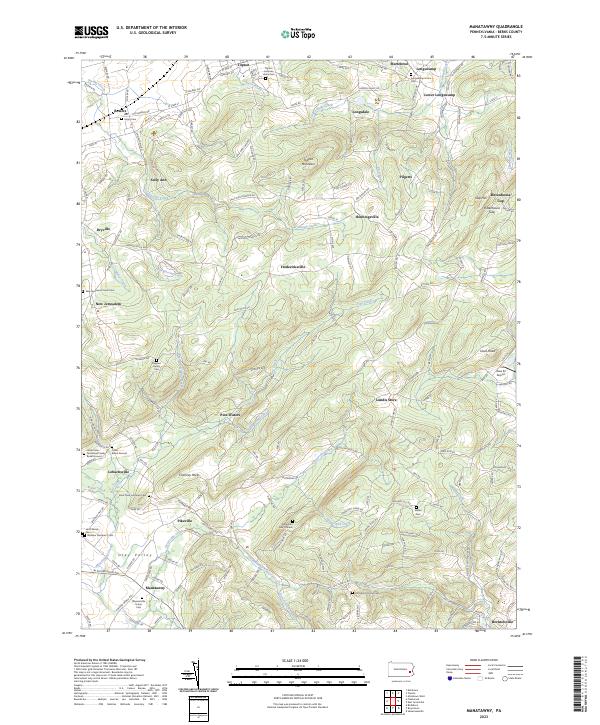 2023 Manatawny2023 Print · USGSBerks County's Oley Valley comes to life in this contemporary survey of its traditional crossroads and family farmsteads. Genealogists can trace localized history through landmarks like Mountain Marys Grave, the Jacob Keim Farmstead Family Burial Ground, and the old Rittenhouse Gap.
 - 2023 Map of Fleetwood, 2023 Print
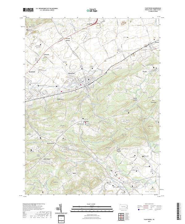 2023 Fleetwood2023 Print · USGSBerks County's agricultural heartland and iron heritage are on full display in this modern survey of the Fleetwood area. Researchers can locate dozens of ancestral sites, including the Bieber - Lesher Burial Ground, Oley Furnace, and the Pricetown Church of the Brethren Cem.
 - 2023 Map of Topton, 2023 Print
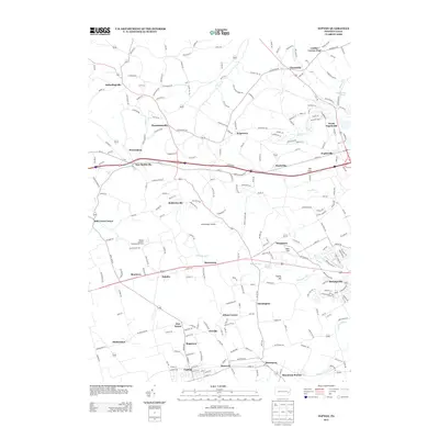
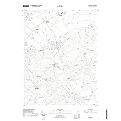
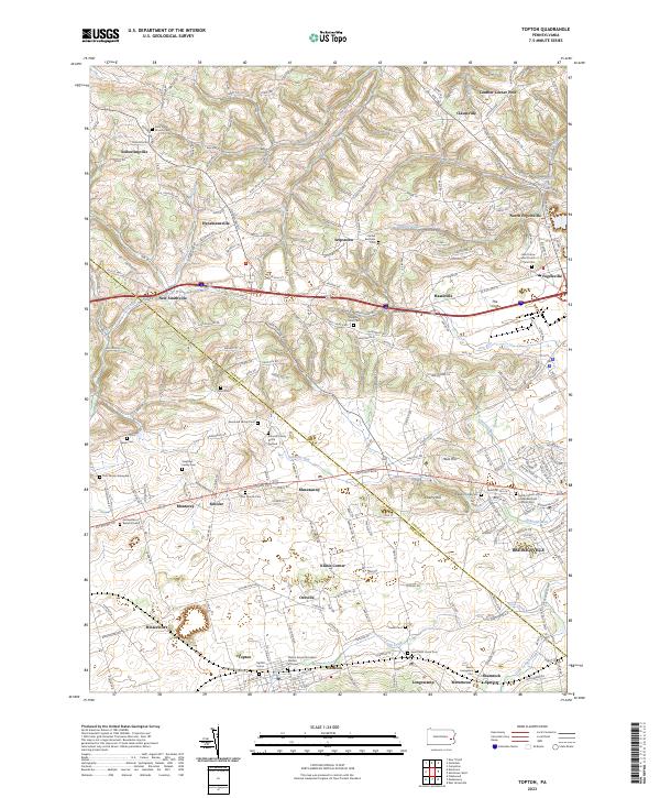 2023 Topton2023 Print · USGSThe Berks and Lehigh county line comes into focus in this contemporary study of Pennsylvania’s agricultural heartland. Researchers can locate numerous ancestral burial sites and small settlements like Schofer, Klines Corner, and the Sassaman Family Cem.
 - 2023 Map of Kutztown, 2023 Print
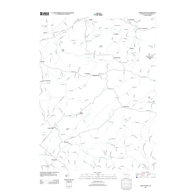
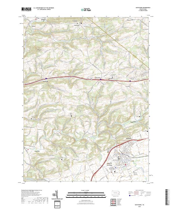 2023 Kutztown2023 Print · USGSNorthern Berks County remains a landscape of historic family farms and university life in the early twenty-first century. Researchers can trace ancestral roots through sites like Zion Moselem Church Cem or find the Spohn Family Cem near Sacony Creek.
End of results
Showing maps 1-20 of 20
Top cities near Maxatawny Township
- Allentown historical maps
- Reading historical maps
- Muhlenberg Park historical maps
- Wyomissing historical maps
- New Hanover Township historical maps
- Longswamp Township historical maps
See more
Top neighborhoods of Maxatawny Township
- Hinterleiter historical maps
- Mill Creek Corner historical maps
- Bowers historical maps
- Eagle Point historical maps
- Schofer historical maps
- Five Points historical maps
See more
Frequently asked questions
- What are the different types of historical maps available for Maxatawny Township?
- What is the oldest map of Maxatawny Township?
- Where can I purchase historical maps of Maxatawny Township for my home or office?
- Where can I download high-res historical maps of Maxatawny Township?
- Are there historical topographic maps available for Maxatawny Township?
- Is there historical aerial imagery available for Maxatawny Township?
- Where are historical maps of Maxatawny Township sourced from?