Old Maps of Taylor Township, Pennsylvania for Metal Detecting
Plan your next treasure hunt with 33 historic maps of Taylor Township. Find old homesites, ghost towns, trails, and gathering spots that may be lost to time — perfect for identifying promising metal detecting locations.
- Locate forgotten sites: Uncover places like long-lost settlements, abandoned rail lines, or gathering spots.
- Plan better hunts: Use map overlays combined with LiDAR or satellite views to narrow in on historically rich areas.
- Made for detectorists: Thousands of hobbyists use these maps to discover relics, coins, and hidden history.
Use these historic maps to boost your research and find new opportunities beneath the surface of Taylor Township.
Taylor Township, PA maps
(33)- 1902 Map of Hollidaysburg, 1957 Print
 1902 Hollidaysburg1957 Print · USGSCentral Pennsylvania at the opening of the twentieth century shows a landscape defined by the iron and rail industries. Genealogists and historians can trace the early footprints of Hollidaysburg, locate the Ore Hill mine, and follow the Pennsylvania R. R. through the steep gaps of the Allegheny Mountain.2 unique versions available
 - 1903 Map of Hollidaysburg
 1903 Hollidaysburg1903 Print · USGSBlair County was a hub of Appalachian industry and transit at the opening of the twentieth century. Genealogists and historians can trace the early rail networks of the Pennsylvania RR and locate vanished mining activity near Orehill and Henrietta.7 unique versions available
 - 1953 Map of Pittsburgh
 1953 Pittsburgh1953 Print · USGSWestern Pennsylvania's industrial landscape at the start of the fifties shows the steel and rail corridors between Pittsburgh and Altoona. Trace family roots in river towns like Tarentum or follow the Pennsylvania Turnpike across Laurel Hill.
 - 1954 Map of Pittsburgh
 1954 Pittsburgh1954 Print · USGSWestern Pennsylvania in the early fifties remains a powerhouse of heavy industry and vital transit corridors. Genealogists and historians can trace the rail-and-river network connecting Pittsburgh, Johnstown, and Altoona via the Pennsylvania RR and the Lincoln Highway.2 unique versions available
 - 1958 Map of Pittsburgh
 1958 Pittsburgh1958 Print · USGSWestern Pennsylvania in the late fifties shows an industrial heartland defined by the confluence of the Allegheny River and Monongahela River. Researchers can trace the sprawling rail networks of the Pennsylvania RR and find established towns like Butler, Latrobe, and Windber.5 unique versions available
 - 1959 Map of Pittsburgh
 1959 Pittsburgh1959 Print · USGSWestern Pennsylvania in the late fifties is captured here at the height of its industrial era. Genealogists and historians can trace the riverfront growth of Pittsburgh, the rail works at Altoona, and the mountain gaps of Laurel Hill.
 - 1963 Map of Martinsburg, 1964 Print
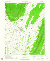 1963 Martinsburg1964 Print · USGSThe valleys and ridges of Blair County are captured here in the early sixties, showing a landscape of small farms and crossroads settlements. Genealogists can trace family names at the Detwiler Cem or Nicodemus Cem and locate landmarks like Central High Sch.3 unique versions available
 - 1963 Map of Hollidaysburg, 1965 Print
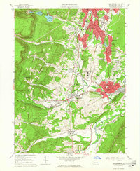 1963 Hollidaysburg1965 Print · USGSBlair County’s mid-century industrial and suburban growth is on full display during this era of rail and road expansion. Researchers can trace institutional landmarks like Hollidaysburg State Hospital and iconic engineering feats such as the Horseshoe Curve.5 unique versions available
 - 1963 Map of Frankstown, 1965 Print
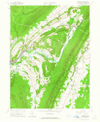 1963 Frankstown1965 Print · USGSBlair County in the early sixties shows a landscape where mountain ridges channel river life and industrial extraction. You can trace the remnants of an old railroad grade or locate ancestral sites like Eight Square Chapel and Royer Cem.4 unique versions available
 - 1963 Map of Roaring Spring, 1965 Print
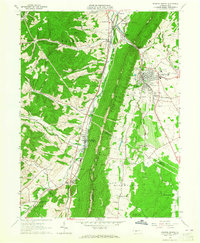 1963 Roaring Spring1965 Print · USGSThe valleys between DUNNING MOUNTAIN and SHORT MOUNTAIN were centers of industry and community in the early sixties. Researchers can trace family sites from Bakers Summit to Roaring Spring, locating Stowberger Cem, Albright Ch, and numerous local Quarries.4 unique versions available
 - 1964 Map of Pittsburgh
 1964 Pittsburgh1964 Print · USGSWestern Pennsylvania in the late fifties and early sixties shows a landscape of powerful river industries and expanding highways. Genealogists and historians can trace the rail corridors of the Pennsylvania RR through industrial hubs like Johnstown, Altoona, and Nanty Glo.
 - 1981 Map of Johnstown, 1983 Print
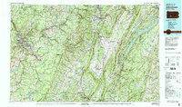 1981 Johnstown1983 Print · USGSSouth Central Pennsylvania is captured here in the early eighties, from the industrial heart of the Conemaugh Valley to the ridges of the Allegheny Front. Local historians can trace the rail corridors of Conrail and the growth of mountain communities like Ebensburg, Nanty Glo, and Windber.
 - 1994 Map of Frankstown, 1997 Print
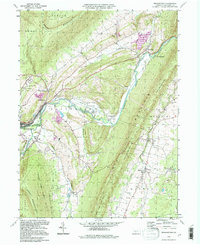 1994 Frankstown1997 Print · USGSThe Juniata River valley in Blair County comes alive in the mid-1990s, showing a landscape of deep-rooted rural settlements and mountain ridges. Researchers can trace family history at Royer Cem, locate the Township Sch, and follow the Penn Central Frankstown Branch railroad.
 - 2010 Map of Roaring Spring, 2010 Print
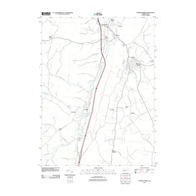 2010 Roaring Spring2010 Print · USGSRoaring Spring and the Juniata River valley appear in the early 21st century, showing the enduring structure of Blair County's rural settlements. Genealogists and historians can trace family sites like Stowberger Cemetery and local landmarks such as Brooks Mill or McKee Gap.
 - 2010 Map of Martinsburg, 2010 Print
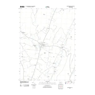 2010 Martinsburg2010 Print · USGSBlair County as it appeared in the early 21st century remains a landscape of tightly-knit rural communities and family legacies. Genealogists can trace homesteads and ancestors through numerous burial sites like Nicodemus Cemetery, Detwiler Cemetery, and the Rebecca Furnace Cemetery.
 - 2010 Map of Frankstown, 2010 Print
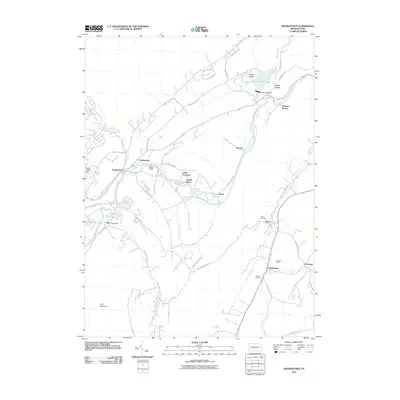 2010 Frankstown2010 Print · USGSBlair County's river-valley settlements and iron-mining heritage are captured here in the early twenty-first century. Researchers can trace family sites from Frankstown to Oreminia or locate the Barbara Mines and historic grounds like Royer Cemetery.
 - 2010 Map of Hollidaysburg, 2010 Print
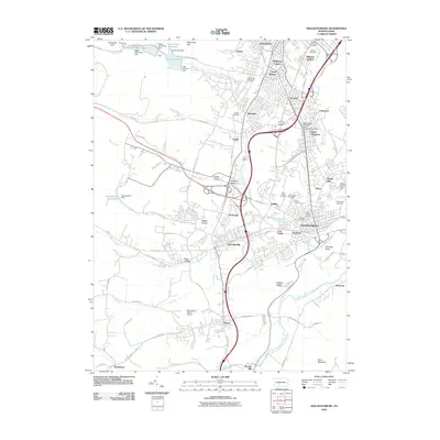 2010 Hollidaysburg2010 Print · USGSBlair County enters the twenty-first century with a landscape shaped by its deep industrial and rail roots. Genealogists and historians can trace family locations through Allegheny Furnace, Fort Fetter, and the historic Horseshoe Curve.
 - 2013 Map of Frankstown, 2013 Print
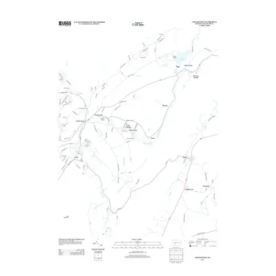 2013 Frankstown2013 Print · USGSBlair County's river-cut gaps and valley floors are captured here in the early twenty-first century, showing the enduring footprint of settlements along the Frankstown Br Juniata River. Genealogists and historians can trace the locations of Oreminea, Geeseytown, and Flowing Spring amidst the ridges of Loop Mountain.
 - 2013 Map of Hollidaysburg, 2013 Print
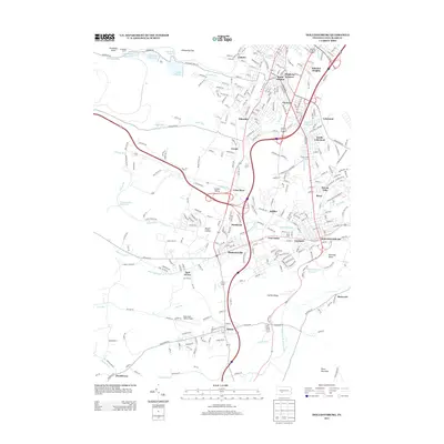 2013 Hollidaysburg2013 Print · USGSThe Pennsylvania mountains met industrial ingenuity in this early twenty-first-century survey of the Allegheny front. Genealogists and historians can trace the legacy of rail and water around Horseshoe Curve, Fort Fetter, and Duncansville.
 - 2013 Map of Martinsburg, 2013 Print
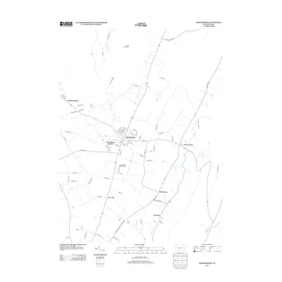 2013 Martinsburg2013 Print · USGSMartinsburg and the agricultural valleys of Blair County are shown in detail during the early twenty-first century. Genealogists and local historians can trace the streets of Martinsburg or locate rural landmarks like Henrietta and the Altoona-Blair County Airport.
 - 2013 Map of Roaring Spring, 2013 Print
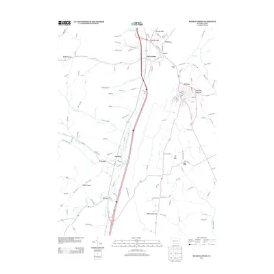 2013 Roaring Spring2013 Print · USGSModern Blair County remains shaped by its river valleys and gap-crossing roads as it appeared a decade ago. Genealogists and local historians can trace family-named areas like Brooks Mill and Smith Corner, or locate historical centers such as Ore Hill and Bakers Summit.
 - 2016 Map of Frankstown, 2016 Print
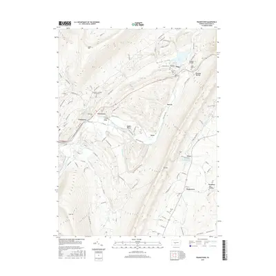 2016 Frankstown2016 Print · USGSCentral Blair County in 2016 shows a landscape shaped by the Frankstown Branch Juniata River and its surrounding ridges. Genealogists can trace family burial sites like the Markey - Shinnefelt Burial Ground and Claycomb Burial Site.
 - 2016 Map of Martinsburg, 2016 Print
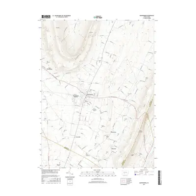 2016 Martinsburg2016 Print · USGSCove Valley in Blair County remains a landscape of tightly-knit villages and family cemeteries in the mid-2010s. Genealogists can locate specific burial sites like Spring Hope Cem and Noggle Cem or trace the rural roads connecting Martinsburg to Curryville.
 - 2016 Map of Roaring Spring, 2016 Print
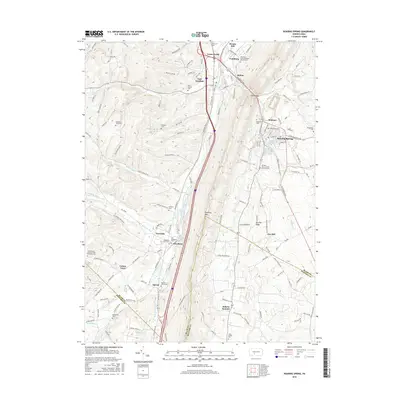 2016 Roaring Spring2016 Print · USGSThe northern edge of the Bedford County line and southern Blair County come into focus in the mid-2010s, centered on the transit and river corridors of the Juniata. Genealogists can locate numerous family burial sites and rural congregations, including Dodsons Graveyard, Greenlawn Cem, and the Lower Claar Church of the Brethren.
 - 2016 Map of Hollidaysburg, 2016 Print
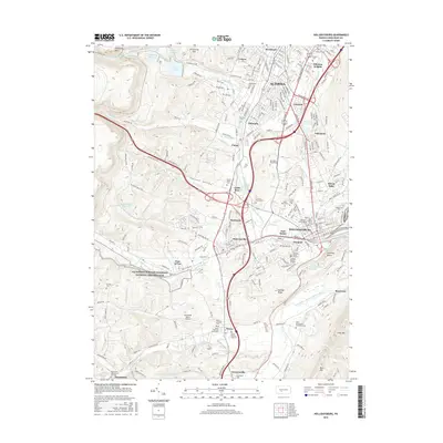 2016 Hollidaysburg2016 Print · USGSThe industrial corridor between Altoona and Hollidaysburg is shown here in the 2010s, where rail history and suburban growth meet. Researchers can trace the Allegheny Portage Railroad and locate family sites like the Holliday Burial Ground or Carson Valley Cem.
Showing maps 1-25 of 33
Top cities near Taylor Township
- Altoona historical maps
- Frankstown Township historical maps
- Hollidaysburg historical maps
- Roaring Spring historical maps
- Martinsburg historical maps
- Napier Township historical maps
See more
Top neighborhoods of Taylor Township
Frequently asked questions
- What are the different types of historical maps available for Taylor Township?
- What is the oldest map of Taylor Township?
- Where can I purchase historical maps of Taylor Township for my home or office?
- Where can I download high-res historical maps of Taylor Township?
- Are there historical topographic maps available for Taylor Township?
- Is there historical aerial imagery available for Taylor Township?
- Where are historical maps of Taylor Township sourced from?