2000s (21st Century) Maps of Stevens Township, Pennsylvania
Explore 4 historic maps of Stevens Township from the 2000s (21st Century). These maps offer a rare glimpse into what life looked like during the 2000s — showing old roads, neighborhoods, homes, and landmarks that have changed or disappeared over time.
Whether you're researching your family's past, planning a metal detecting trip, or studying how Stevens Township's landscape evolved across the 2000s, these high-resolution maps are a powerful tool for exploring the history of this region.
- Focus on a specific era: All maps on this page are from the 2000s, giving you a focused view of this time period.
- See what’s changed: Compare century-old streets, trails, and buildings to today's modern landscape using overlays and satellite layers.
- Research with precision: Use these maps for genealogy, historical research, land use analysis, or educational projects.
- View, download, or print: Maps are fully viewable online in high resolution, and can be downloaded or printed for your own records.
Start exploring Stevens Township's history through authentic maps from the 2000s. This is your window into the past.
Stevens Township, PA maps
(4)- 2023 Map of Lawton, 2023 Print
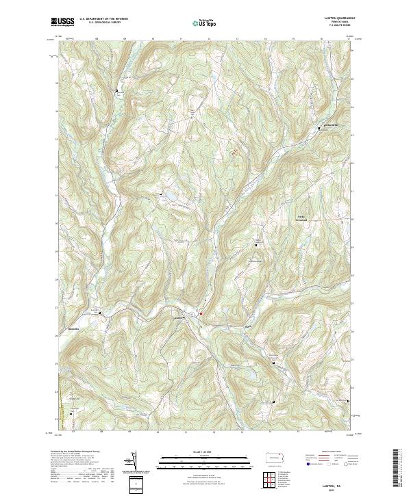 2023 Lawton2023 Print · USGSSusquehanna County at the start of the 2020s shows a landscape deeply rooted in its valley settlements and family heritage. Genealogists can trace local history through numerous sites like County Home Cem, Saint Johns Cem, and the village of Lawton.
 - 2023 Map of Laceyville, 2023 Print
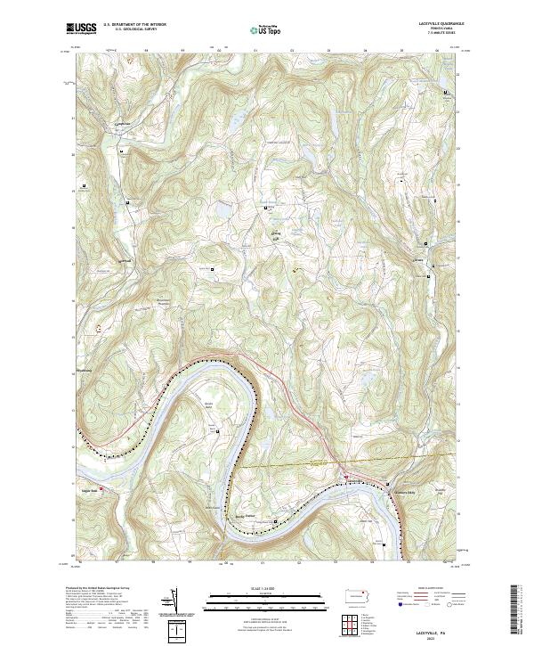 2023 Laceyville2023 Print · USGSThe river bends of the Susquehanna at the Bradford and Wyoming county line come into focus in this detailed topographic view. Researchers can trace numerous family burial sites like Morrow Family Cem and Quimby Cem near settlements like Camptown and Silvara.
 - 2023 Map of Auburn Center, 2023 Print
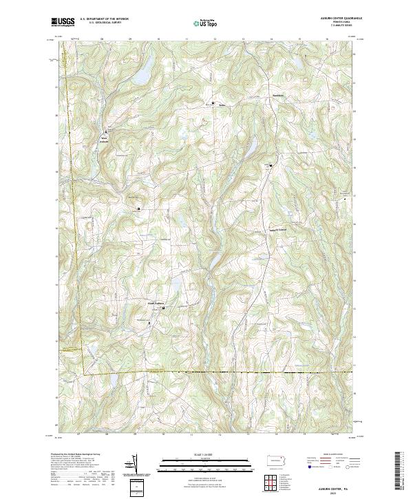 2023 Auburn Center2023 Print · USGSThe rural borderlands of Susquehanna and Wyoming Counties appear in this modern survey of the Auburn highlands. Researchers can trace family history through numerous burial sites like Bolles Cem and the small hamlets of West Auburn and Retta.
 - 2023 Map of Le Raysville, 2023 Print
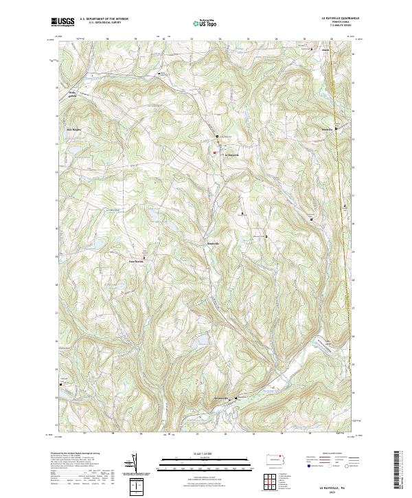 2023 Le Raysville2023 Print · USGSThe northern Pennsylvania highlands near Le Raysville are documented here in detail, showcasing a landscape of family farms and creek-side settlements. Researchers can locate ancestral burial sites like View Cem and Stevensville Cem or trace the winding course of Wyalusing Creek.
End of results
Showing maps 1-4 of 4
Top cities near Stevens Township
- Vestal historical maps
- Owego historical maps
- Binghamton historical maps
- Wysox Township historical maps
- Springville Township historical maps
- Silver Lake Township historical maps
See more
Top neighborhoods of Stevens Township
Frequently asked questions
- What are the different types of historical maps available for Stevens Township?
- What is the oldest map of Stevens Township?
- Where can I purchase historical maps of Stevens Township for my home or office?
- Where can I download high-res historical maps of Stevens Township?
- Are there historical topographic maps available for Stevens Township?
- Is there historical aerial imagery available for Stevens Township?
- Where are historical maps of Stevens Township sourced from?