Old Maps of Cambria Township, Pennsylvania for Hiking & Exploration
Hike through history with 40 historic maps of Cambria Township. Explore old trails, ghost towns, and forgotten backroads — perfect for outdoor adventurers and local explorers.
- Rediscover forgotten places: Map out old mining camps, roads, and footpaths that no longer exist on modern maps.
- Layer with modern tools: Combine with LiDAR or satellite views to plan hikes through historical terrain.
- Made for exploration: Popular among hikers, overlanders, and local history lovers.
Use these maps to find adventure and explore the hidden past of Cambria Township.
Cambria Township, PA maps
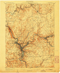
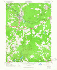
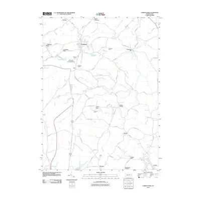
(40)- 1902 Map of Ebensburg, 1954 Print
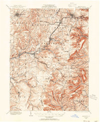 1902 Ebensburg1954 Print · USGSCambria County at the dawn of the twentieth century was a landscape of intensive rail infrastructure and mountain mining towns. Researchers can trace the Pennsylvania RR lines and find detailed footprints for settlements like Ebensburg, Cresson, and the high peak at Blue Knob.
 - 1902 Map of Patton, 1955 Print
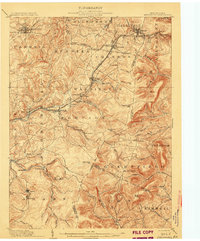
 1902 Patton1955 Print · USGSThe northern Cambria County coal and timber country is captured here at the turn of the century, as mountain railroads reached their peak influence. Researchers can trace historic industrial sites like Eckenrode Mill and early settlements including St Bonifacius and Patton.
 - 1902 Map of Barnesboro, 1956 Print
 1902 Barnesboro1956 Print · USGSIndiana and Cambria counties are documented here at a peak of rail and coal development. Genealogists and historians can trace family roots through numerous small settlements like Possum Glory and Nicktown or follow the Pennsylvania RR through the bustling streets of Barnesboro.
 - 1904 Map of Barnesboro
 1904 Barnesboro1904 Print · USGSNorthwestern Cambria County was a hub of river and rail activity at the turn of the century, as the coal industry took hold. Genealogists can trace family names and small settlements from Barnesboro and Cherrytree to remote outposts like Strongstown and Nolo.5 unique versions available
 - 1904 Map of Patton
 1904 Patton1904 Print · USGSCambria County at the start of the century is a network of rail lines and coal settlements, anchored by the growth of Patton. Genealogists can trace family roots through historic sites like St Bonifacius, Chest Springs, and the industrial Mitchell Mines.5 unique versions available
 - 1904 Map of Ebensburg
 1904 Ebensburg1904 Print · USGSCambria County's industrial heartland is captured during the era of steam and steel, when the Pennsylvania RR crested the Allegheny Front. Genealogists and historians can trace the early layouts of Ebensburg, Lilly, and Gallitzin, or locate rural landmarks like Mt Hope Church.7 unique versions available
 - 1904 Map of Johnstown, 1954 Print
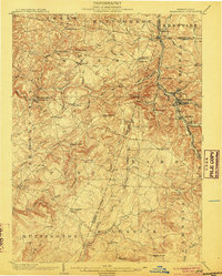
 1904 Johnstown1954 Print · USGSJohnstown and the Cambria County coalfields are shown in detail during their industrial peak in the early twentieth century. Researchers can trace ancestral neighborhoods like Morrellville and Franklin, or locate historic landmarks such as the Old Portage RR Tunnel and Grandview Cemetery.2 unique versions available
 - 1907 Map of Johnstown
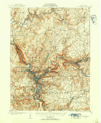
 1907 Johnstown1907 Print · USGSJohnstown and the surrounding coal valleys are captured here at the height of their industrial expansion in the early twentieth century. Researchers can trace the path of the Pennsylvania RR and find vanished local landmarks like Expedit PO and the Old Portage RR Tunnel.6 unique versions available
 - 1943 Map of Punxsutawney
 1943 Punxsutawney1943 Print · USGSThe Pennsylvania coal country around the turn of the century and through the war years is captured in this detailed survey of Jefferson, Indiana, and Clearfield counties. Researchers can trace the rail-reliant economy through Findley Mills, Rossiter Junction, and landmarks like the St Lawrence Fire Tower.
 - 1953 Map of Pittsburgh
 1953 Pittsburgh1953 Print · USGSWestern Pennsylvania's industrial landscape at the start of the fifties shows the steel and rail corridors between Pittsburgh and Altoona. Trace family roots in river towns like Tarentum or follow the Pennsylvania Turnpike across Laurel Hill.
 - 1954 Map of Pittsburgh
 1954 Pittsburgh1954 Print · USGSWestern Pennsylvania in the early fifties remains a powerhouse of heavy industry and vital transit corridors. Genealogists and historians can trace the rail-and-river network connecting Pittsburgh, Johnstown, and Altoona via the Pennsylvania RR and the Lincoln Highway.2 unique versions available
 - 1958 Map of Pittsburgh
 1958 Pittsburgh1958 Print · USGSWestern Pennsylvania in the late fifties shows an industrial heartland defined by the confluence of the Allegheny River and Monongahela River. Researchers can trace the sprawling rail networks of the Pennsylvania RR and find established towns like Butler, Latrobe, and Windber.5 unique versions available
 - 1959 Map of Pittsburgh
 1959 Pittsburgh1959 Print · USGSWestern Pennsylvania in the late fifties is captured here at the height of its industrial era. Genealogists and historians can trace the riverfront growth of Pittsburgh, the rail works at Altoona, and the mountain gaps of Laurel Hill.
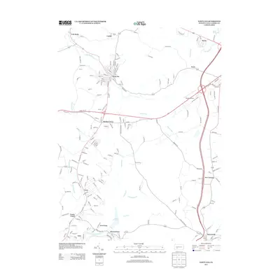
 - 1961 Map of Carrolltown, 1963 Print
 1961 Carrolltown1963 Print · USGSCambria County in the early sixties reveals a landscape of devout Catholic institutions and coal industry. Genealogists can trace family roots through Carrolltown and Loretto, locating landmarks like St Francis College and Eckenrode Mill.2 unique versions available
 - 1961 Map of Colver, 1963 Print
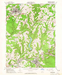
 1961 Colver1963 Print · USGSCambria County coal country is captured here during the early sixties, centered on the company-built hub of Colver. Genealogists and local historians can trace family locations near Nine Row, find rural landmarks like St Nicholas Sch, or locate burials at Colver Cem.4 unique versions available
 - 1963 Map of Ebensburg, 1965 Print
 1963 Ebensburg1965 Print · USGSEbensburg and the surrounding coal towns of Cambria County are captured in the early sixties during a period of industrial transition. Researchers can trace family roots through numerous local churches and cemeteries, or locate defunct industrial sites like Miller Shaft and Plane Bank along the PENNSYLVANIA railroad.5 unique versions available
 - 1964 Map of Pittsburgh
 1964 Pittsburgh1964 Print · USGSWestern Pennsylvania in the late fifties and early sixties shows a landscape of powerful river industries and expanding highways. Genealogists and historians can trace the rail corridors of the Pennsylvania RR through industrial hubs like Johnstown, Altoona, and Nanty Glo.
 - 1964 Map of Nanty Glo, 1966 Print
 1964 Nanty Glo1966 Print · USGSCambria County's industrial heart is captured in the mid-1960s, showing the intersection of mining, rail, and community life. Genealogists and historians can locate family landmarks like St Marys Cem and trace the paths of the Pennsylvania Railroad through Nanty Glo and Summerhill.4 unique versions available
 - 1981 Map of Johnstown, 1983 Print
 1981 Johnstown1983 Print · USGSSouth Central Pennsylvania is captured here in the early eighties, from the industrial heart of the Conemaugh Valley to the ridges of the Allegheny Front. Local historians can trace the rail corridors of Conrail and the growth of mountain communities like Ebensburg, Nanty Glo, and Windber.
 - 1984 Map of Tyrone, 1985 Print
 1984 Tyrone1985 Print · USGSCentral Pennsylvania in the mid-eighties shows a rugged landscape defined by the industry of Altoona and the ridges of the Appalachians. Genealogists and historians can trace the rail corridors of CONRAIL and locate vanished family homes near Glendale Lake or within Sinking Valley.
 - 2010 Map of Nanty Glo, 2010 Print
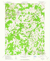
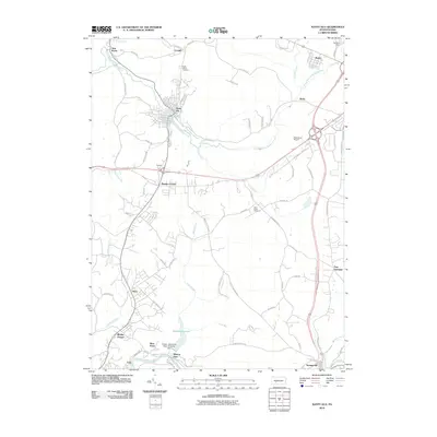 2010 Nanty Glo2010 Print · USGSCovers Cambria Township, including Nanty Glo, Summerhill, and other nearby areas
 - 2010 Map of Ebensburg, 2010 Print
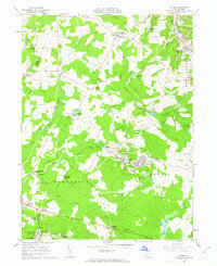
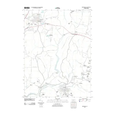 2010 Ebensburg2010 Print · USGSCovers Cambria Township, including Ebensburg, Portage, and other nearby areas
 - 2010 Map of Colver, 2010 Print
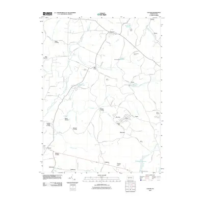 2010 Colver2010 Print · USGSCovers Cambria Township, including Bakersville, Pine Township, and other nearby areas
 - 2010 Map of Carrolltown, 2010 Print
 2010 Carrolltown2010 Print · USGSCovers Cambria Township, including Ebensburg, Loretto, and other nearby areas
 - 2013 Map of Nanty Glo, 2013 Print
 2013 Nanty Glo2013 Print · USGSCovers Cambria Township, including Nanty Glo, Summerhill, and other nearby areas
Showing maps 1-25 of 40
Top cities near Cambria Township
- Johnstown historical maps
- Franklin historical maps
- Westmont historical maps
- Northern Cambria historical maps
- Ebensburg historical maps
- Stonycreek Township historical maps
See more
Top neighborhoods of Cambria Township
- Revloc historical maps
- Twenty Row historical maps
- Colver historical maps
- Tripoli historical maps
- Mylo Park historical maps
- Bakersville historical maps
See more
Frequently asked questions
- What are the different types of historical maps available for Cambria Township?
- What is the oldest map of Cambria Township?
- Where can I purchase historical maps of Cambria Township for my home or office?
- Where can I download high-res historical maps of Cambria Township?
- Are there historical topographic maps available for Cambria Township?
- Is there historical aerial imagery available for Cambria Township?
- Where are historical maps of Cambria Township sourced from?