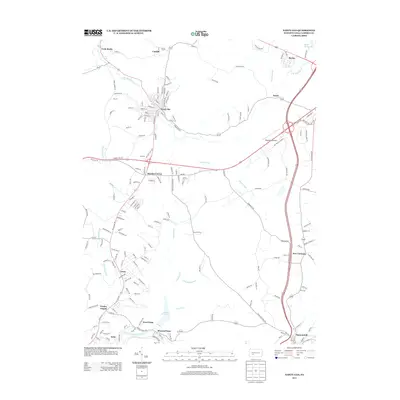
2013 Map of Nanty Glo
USGS Topo · Published 2013About this map
Nanty Glo sits as the central hub of this Cambria County landscape, where the S Br Blacklick Cr winds through a valley defined by its industrial and coal-mining heritage. The mapping reveals a series of closely linked settlements including Cardiff, Twin Rocks, and Beula, reflecting the dense residential patterns established during the peak of regional mining operations. Further south, the terrain transitions toward the Little Conemaugh River corridor, passing the Saltlick Reservoir and the small communities of Mineral Point and West Point.
Find a feature on this map
177 named features on this map. Tap any name to fly to it.
Don’t see what you’re looking for? This feature index may not catch every label — zoom into the map to look around manually.
Map Details
Editions of this 2013 Nanty Glo Map
This is the sole edition of this map. No revisions or reprints were ever made.
Other maps of this area

1902 · Ebensburg
USGS Topo · 1:62,500

1902 · Patton
USGS Topo · 1:62,500

1902 · Barnesboro
USGS Topo · 1:62,500

1904 · Barnesboro
USGS Topo · 1:62,500

1904 · Patton
USGS Topo · 1:62,500

1904 · Ebensburg
USGS Topo · 1:62,500

1904 · Johnstown
USGS Topo · 1:62,500

1907 · Johnstown
USGS Topo · 1:62,500

1943 · Punxsutawney
USGS Topo · 1:125,000

1953 · Pittsburgh
USGS Topo · 1:250,000
Featured Places
- Nanty Glo, PA
- Summerhill, PA
- Mineral Point, East Taylor Township
- Beula, Cambria Township
- Revloc, Cambria Township